Another hot and dry weather week ahead
Thursday, July 9, 2020
The current hot and dry weather over Steamboat Springs this past week looks to continue for the following week, with even hotter temperatures forecast through the weekend. There may be some heat relief midway through the next work week, but significant rainfall looks unlikely through this forecast period.
A summer ridge of high pressure over the western two thirds of the U.S. is battling a stormy area over the Gulf of Alaska, and the ridge is handily winning over our area as storms from the Gulf periodically travel across the northern Rockies.
One such storm will move across Montana on Friday and produce a breezy afternoon with winds from the west. Another stronger storm crosses the British Columbia coast this weekend, with the southwesterly flow ahead of the storm encouraging the ridge to build even more over most of the West. While the Bob Adams airport in Steamboat Springs reached 89 F this past Tuesday, nineties are in our future as soon as Friday. These hot temperatures are well above our average high of 81 F and look to last into the next work week.
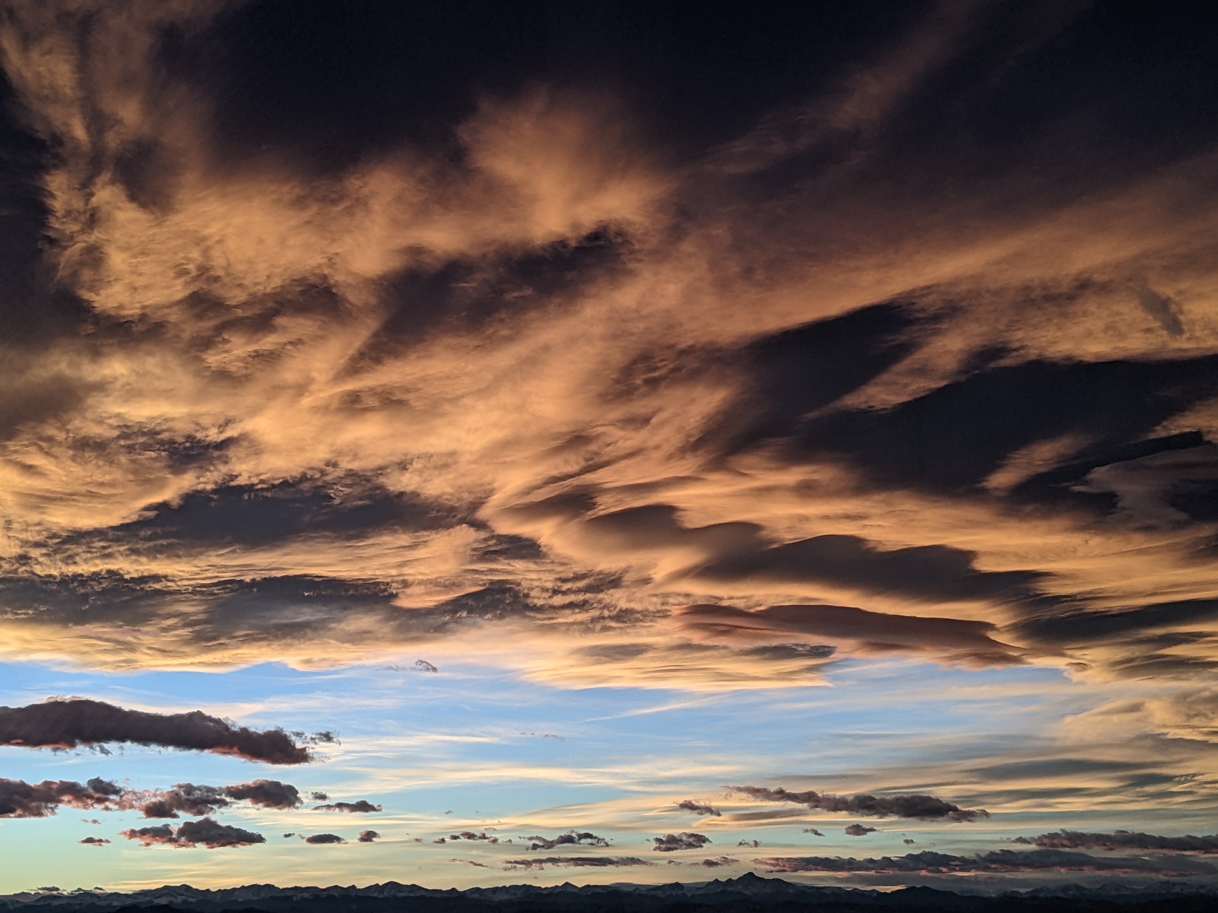
Chances for precipitation are close to nil for the next few days, and only slight for Sunday afternoon as sparse monsoonal moisture is drawn over the Desert Southwest and toward our area ahead of the British Columbia storm. But this moisture will be high based, and while we may see some clouds at times that would moderate the hot temperatures, any precipitation is likely to evaporate before reaching the ground, producing virga, and more wind than rain.
As the British Columbia storm moves eastward across the northern Rockies early in the work week, winds will increase from the west again which will increase fire weather concerns. But the storm looks to be strong enough to drag a weak cool front near our area around Tuesday and Wednesday, and this will help limit the afternoon temperatures to the eighties.
In addition to some heat relief, there may be some moisture around for the possibility of showers, though that is very uncertain at this time. Not only may there be some moisture associated with the cool front, but the storm is forecast to be strong enough to displace the ridge of high pressure eastward, perhaps allowing some monsoonal moisture from the south to move northward along its west side and toward our area.
There are indications in the longer term weather forecast models that this weak tap of monsoonal moisture may persist through the rest of the work week and headed into the following weekend, though areas to our south would be favored if that occurred. However, the monsoonal surges predicted by the longer range models have not been verifying well so far this season, so I would classify that forecast as optimistic.
I’ll discuss the cool-down for next week and the possible appearance of some moisture in my next regularly scheduled weather narrative on Sunday afternoon.


