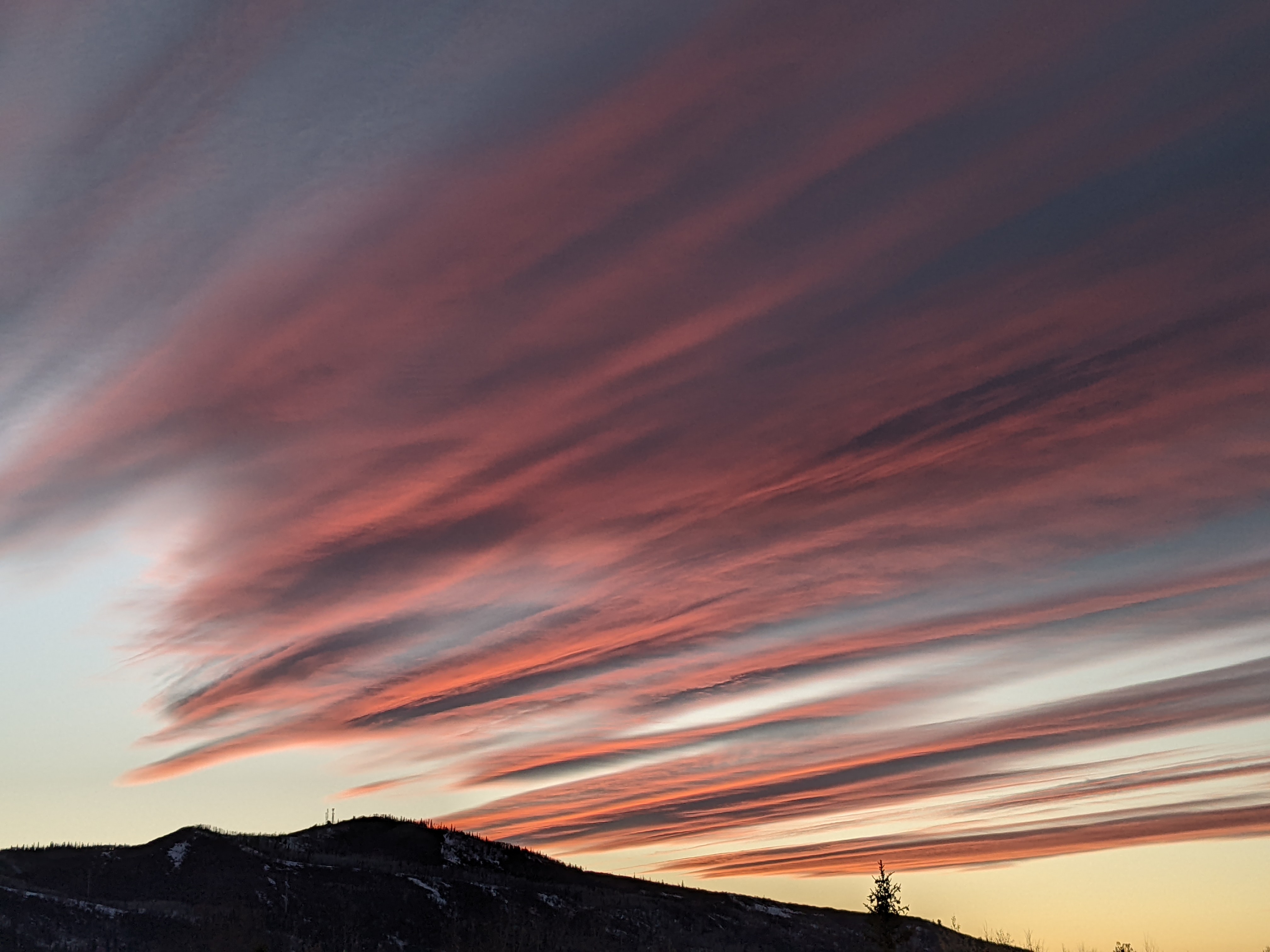
Some showers possible for the Independence Day weekend
Thursday, July 2, 2020
The current hot, dry and sunny weather in the Steamboat Springs area this Thursday afternoon will yield to a modest increase in mid and upper level moisture starting on Friday. But the lower levels of the atmosphere will remain dry, so there will only be small chances for showers from Friday through Sunday, with the best chances on Independence Day. While clouds may moderate afternoon temperatures, a return to hot and dry weather is forecast for the following work week.
A strong and cold storm off the British Columbia coast will be kept at bay by a westward-expanding ridge of high pressure currently over the central U.S. The North American Monsoon then gets started as the combination of southerly flow ahead of the British Columbia storm and the clockwise flow around the ridge of high pressure bring moisture originally from the Gulf of Mexico and now pooling over the Mexican Plateau northward.
The ridge of high pressure will bring hot temperatures in the eighties for the upcoming week, which will be above our average high of 79 F. While areas to our south will be favored for precipitation, we will see small chances on Friday and Sunday, with a better chance on Independence Day, especially at the higher elevations.
The British Columbia storm is forecast to move across the northern Rockies late in the weekend, which will suppress the ridge of high pressure to our south and shift our winds from southerly to westerly. Winds from the west will sever the stream of moisture from the south as much drier air moves overhead, so next work week is looking mostly sunny, hot and dry.
Another storm off the British Columbia coast is forecast to move across the northern Rockies midweek, and the ridge of high pressure rebuilds over our area behind that storm by the end of the work week. This will at least briefly shift our winds to be from the south again, which bring some shower chances around Thursday or Friday as monsoonal moisture is again transported over Colorado.
However, additional storminess is forecast off the British Columbia coast, and as these storm move across the northern Rockies, winds over our area will shift from the south to the west, and the air mass will dry. So while we may see some showers near the end of the work week, hot and dry weather is expected to return for the following weekend. For what its worth, longer-range weather forecast models do advertise a more substantial monsoonal pattern developing around mid-month.
We’ll see if this forecast stays consistent in my next weather narrative scheduled for Sunday afternoon.


