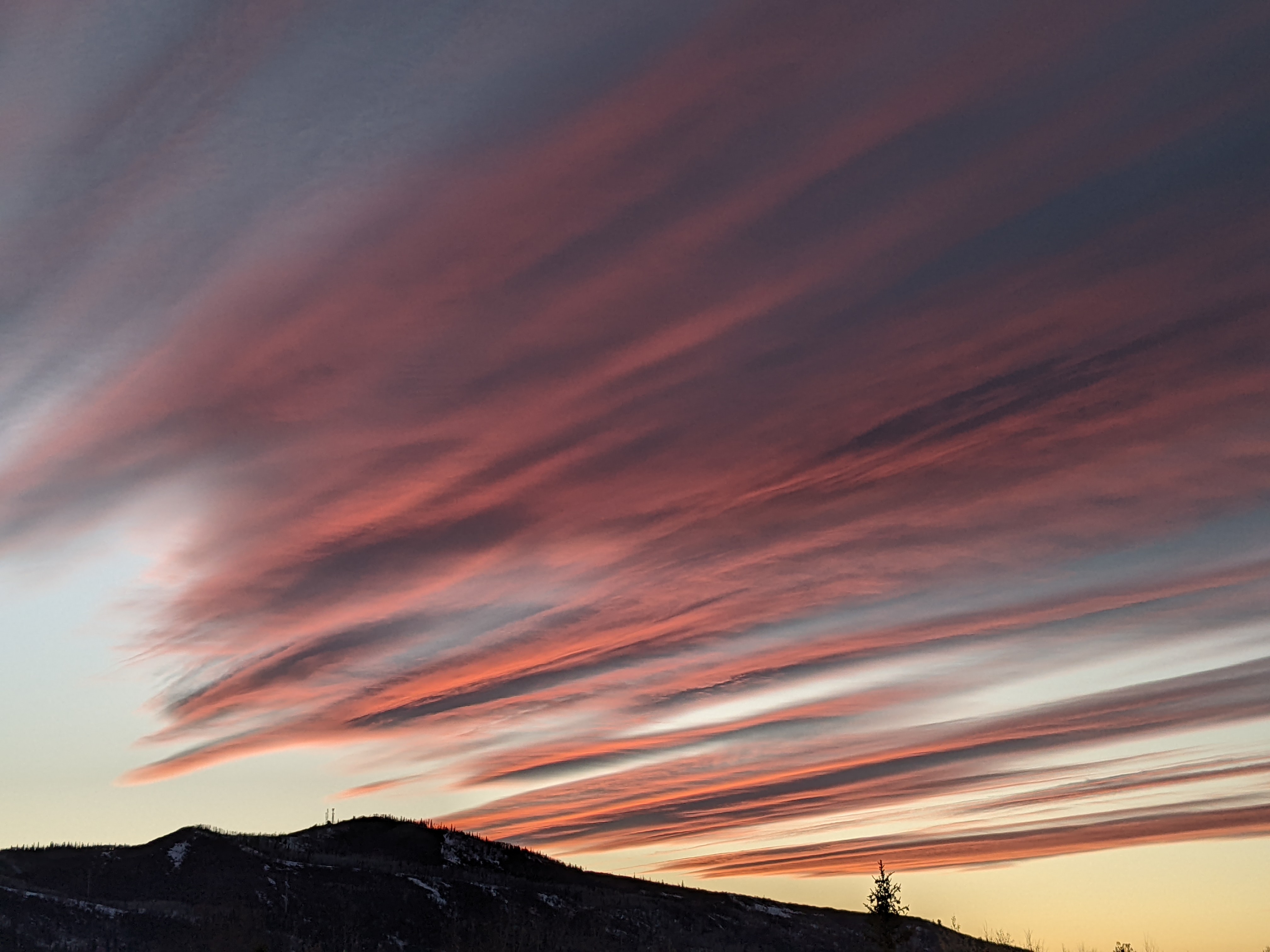
Mostly dry and breezy work week ahead
Sunday, June 14, 2020
The Steamboat Springs area is currently seeing sunny skies, early afternoon temperatures in the low-seventies, and breezy westerly winds on this Sunday. Winds will persist as temperatures rise early in the work week before a cool front knocks them down by midweek. While we may see a modicum of moisture starting Wednesday and lasting through the first half of the weekend, significant precipitation, or even wetting rain, looks unlikely as additional dry cool fronts graze our area.
A complex of storms currently in the northwestern quarter of the country has pushed the ridge of high pressure that was over our area last week eastward. The lead storm in this complex brought a dry cool front through our area last night and is responsible for the winds and our pleasant temperature near our average of 73 F today.
Another storm from the Gulf of Alaska is forecast to make landfall along the Pacific Northwest coast on Tuesday, and the breezy southwesterly flow ahead of the storm will allow temperatures to rise to ten degrees or so above average on Monday and Tuesday.
The storm is forecast to rotate to our north through the storm complex, allowing additional cool western Canadian air to move into the northwestern quarter of the U.S. We should see several cool fronts in generally west to northwest flow through the the rest of the work week and the weekend that will keep our temperatures in the seventies.
While pleasant temperatures are likely, significant precipitation is not, with the weather forecast models disagreeing on the days with the best chances of showers. There may be a chance of some meager showers on Wednesday afternoon according to the more optimistic European ECMWF, while the American GFS is more optimistic for still-meager afternoon and evening showers on Thursday, Friday and Saturday.
We may have to wait for the dry northwesterly to westerly flow to cease for any real chance of precipitation. This is forecast to occur during the following work week as the complex of storms in the northwestern quarter of the country grudgingly moves to our east. This will then allow some sort of ridge of high pressure to build over the west, forcing subtropical moisture northward in the southerly or southwesterly flow on the west side of the ridge. It is too early to know how much moisture may return to our area, but I hope to have a better idea by my next regularly scheduled weather narrative on Thursday afternoon.
Add comment
Fill out the form below to add your own comments


