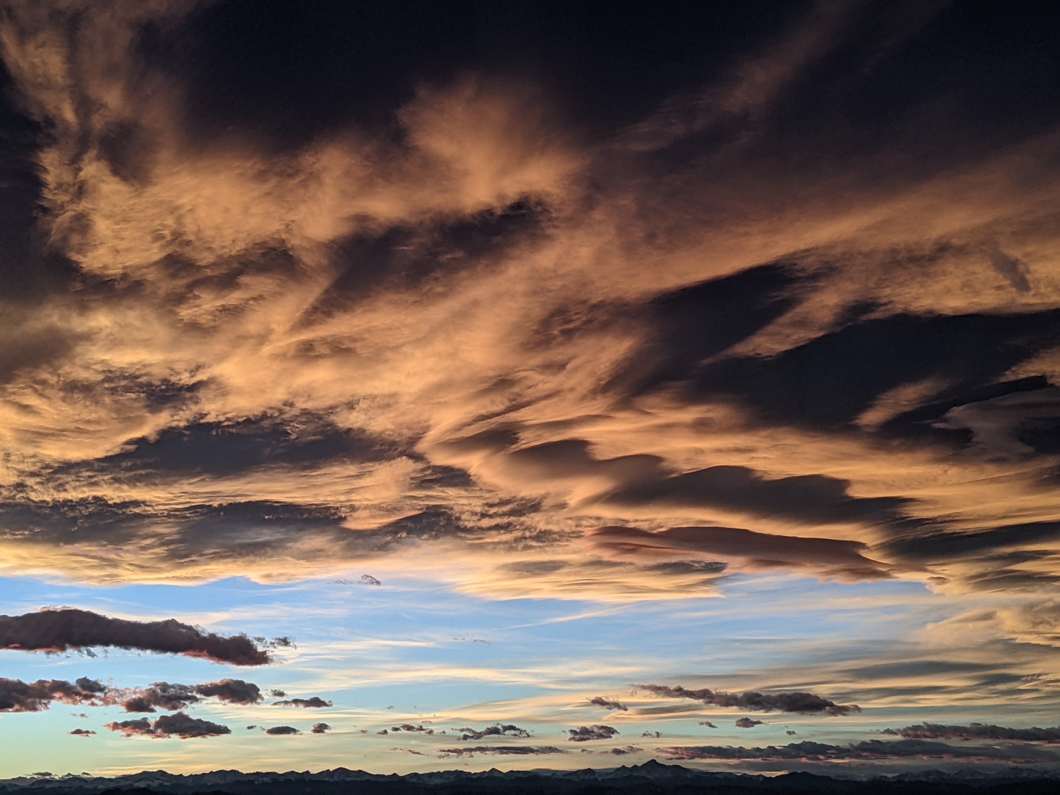
Dry weather through the weekend followed by showers
Thursday, May 7, 2020
Temperatures in the low fifties and stiff winds out of the west and northwest are observed in the Steamboat Springs area this Thursday afternoon behind last night’s dry cool front. The dry weather is forecast to last through Mother’s Day weekend as another couple of dry cool fronts move through our area on Saturday, followed by showery weather for Monday. These showers look to migrate to our north for a couple of days before returning to northern Colorado near the end of the work week.
Currently a sharp ridge of high pressure is located along the west coast of North America, along with a cold storm over the Hudson Bay area that will torment the Midwest and Northeast with cold weather this upcoming week. Energy moving southeastward along the east side of the ridge has and will mix with the cold air in eastern Canada as it grazes our area with cool fronts.
The first cool front last night has brought the cool and windy conditions today, with temperatures warming on a much-less-windy Friday toward our 61 F average. Another couple of cool fronts are forecast for early and late Saturday, though temperatures may end up being similar to Friday depending on the timing of the fronts.
After a cool start, Mother’s Day will see dry weather with warmer temperatures five to ten degrees above average ahead of a pattern change that will introduce showers to our area for Monday. Pieces of a large storm currently located in the Gulf of Alaska will undercut the ridge of high pressure along the west coast of north America, even as some cool air western Canada undercuts the ridge from the east.
The result of the complicated interactions between the ridge of high pressure and the different air masses undercutting it from the west and east will determine our weather for the upcoming work week. Right now, it appears the coldest air will stay to our north and east while showery weather for Monday results from the first surge of the Pacific air mass moving over our area.
An additional piece of the Gulf of Alaska storm will cross the West Coast on Tuesday and move across the Great Basin on Wednesday. Winds will turn to be from the southwest, warming temperatures and moving showers temporarily to our north.
But the showers return around Thursday or Friday as the Great Basin storm moves overhead. There is uncertainty in the weather forecast models with respect to the strength of the storm, and resultant duration and intensity of the end-of-week showers. The European ECMWF advertises a briefer showery period followed by a dry weekend, while the American GFS, in a change from the last few cycles, keeps the showery weather around through the weekend and beyond.
Considering the complicated pattern about to unfold, the disagreement is not surprising, and I hope to have more clarity by my next regularly scheduled weather narrative on Sunday afternoon.
Add comment
Fill out the form below to add your own comments


