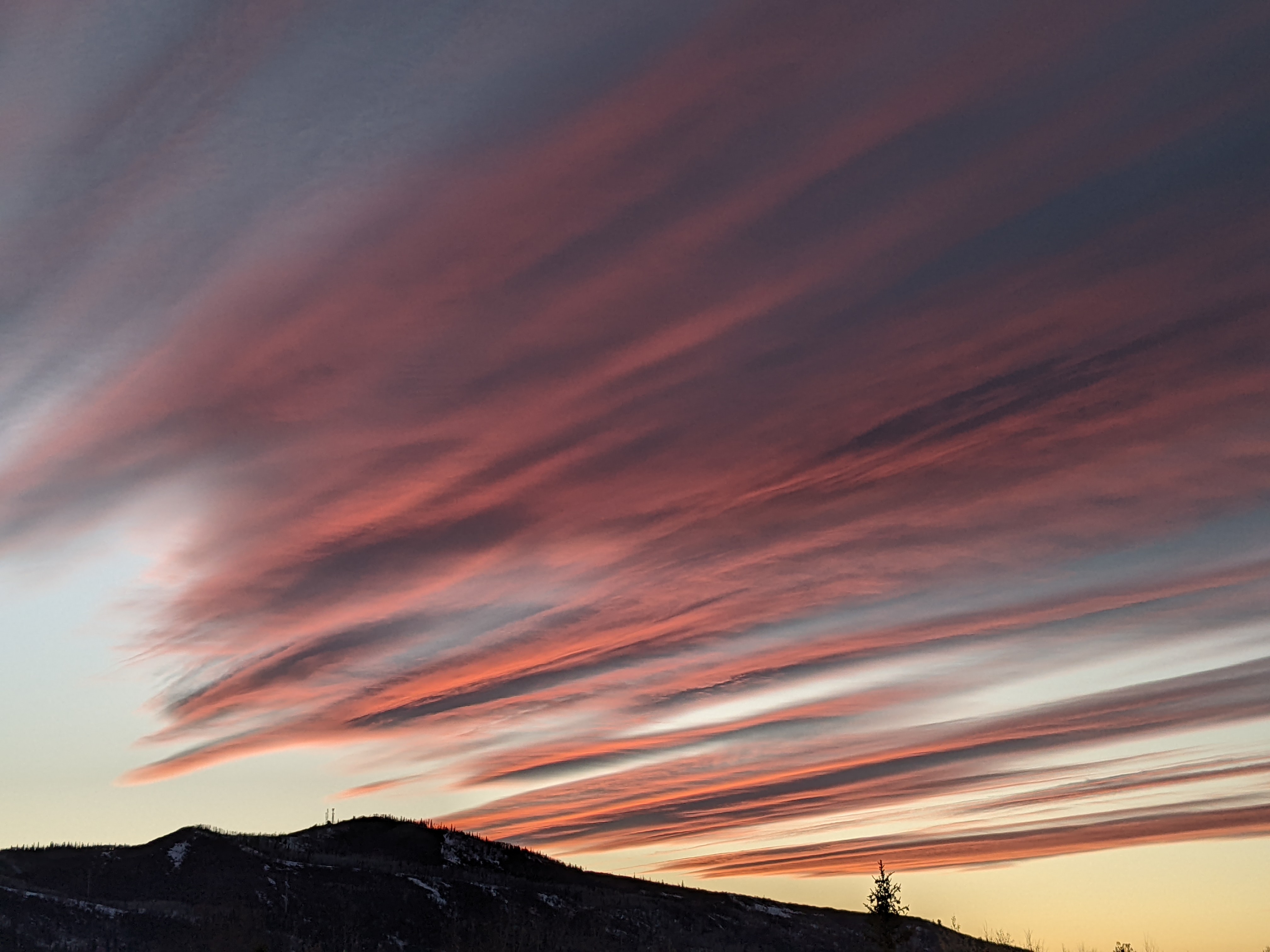
Showers possible through some of the weekend
Thursday, April 30, 2020
Despite the partly cloudy skies this Thursday, the Steamboat Springs area is experiencing the warmest day of the year so far, with an early afternoon temperature of 72 F observed at the Bob Adams airport. Though we may see a shower this evening, good chances for some precipitation will be from Friday night through Saturday night before drier weather is forecast the following work week.
A ridge of high pressure over the West will be disrupted by several rounds of incoming Pacific energy and moisture over the next few days. Some moisture ahead of the first weak wave is currently responsible for our partly cloudy skies, and we may see a shower this evening as the wave passes overhead.
Another couple of waves are forecast to pass overhead on Friday and Saturday. Right now, it looks like after some sun and clouds on Friday, with cooler but still above average temperatures in the sixties, there may be some showers around in the afternoon or evening as the second still-weak wave passes passes by.
Our best chance for showers this weekend looks to occur on Saturday as the last slightly stronger wave passes by. While there may be some showers in the morning, they will be stronger and more numerous in the afternoon and overnight. Depending on the cloud cover, temperatures will be knocked back a few degrees from Friday.
But warmer temperatures in the sixties return on Sunday as a shallow ridge of high pressure builds behind the departing Pacific waves, though there may be a small chance of an afternoon or evening shower.
Monday looks to be similar to Sunday except dry. Weather forecast models disagree about another wave of Pacific energy Monday night and the strength of the ridge of high pressure over the West. Though both the European ECMWF and American GFS are dry, the more aggressive GFS has a weaker ridge and knocks temperatures back five or ten degrees for Tuesday.
Dry and warm is forecast for Wednesday as a ridge of high pressure continues or rebuilds over the West.
And similar to the Tuesday wave, the weather forecast models disagree on the strength of the western ridge of high pressure for the end of the work week. Each model follows its previous inclinations, with the American GFS bringing some Pacific energy and moisture through the ridge and the European ECMWF keeping that energy well away from our area. So there may be a possibility of some cooler air and showers to end the work week.
The weather for the following weekend will depend on the outcome of the battle between the western ridge of high pressure and incoming Pacific energy and moisture. More details to follow on my next regularly scheduled weather narrative on Sunday afternoon.


