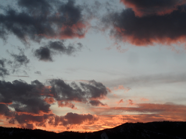
Weather improves after a cool and showery end to the work week
Thursday, April 23, 2020
Some showers passed through the Steamboat Springs area around noon on this Thursday ahead the Pacific Northwest storm currently on our doorstep. Rain showers at the lower elevations and snow showers at the higher elevations will continue through Friday and into Saturday before the atmosphere warms towards average and dries. While we may still see some showers on Sunday and possibly Monday, mostly dry skies are expected for the rest of the work week, with temperatures warming even further toward the seventies.
Rain showers, possibly with a rumble of thunder, should turn to snow showers by this evening, with accumulations confined to the higher elevations and perhaps some unpaved lower elevation surfaces. Showers will continue on Friday, tapering off during the day before picking up again Friday night as a trailing wave of energy passes over our area. Snowfall amounts could reach 4-8” at the top of Mt. Werner by Saturday morning (note the Powdercam is down for maintenance, so use the Rabbit Ears SNOTEL and Tower SNOTEL on Buffalo Pass for observations).
Showers should taper off on Saturday in the cool northwesterly flow behind the storm, with high temperatures warming to near our average high of 56 F. Winds will turn to be more from the west on Sunday with temperatures a bit above average, though there is a chance of some rain showers Sunday afternoon and evening as a weak disturbance passes overhead.
A ridge of high pressure eventually builds over the West by midweek for mostly dry skies, though Pacific energy traveling along the Canadian border will graze our area and keep temperatures near average for Monday and Tuesday, with some showers possible on Monday afternoon.
Temperatures are expected to warm on Wednesday under mostly sunny skies, and even more so on Thursday with the seventy degree mark likely reached or exceeded for the first time this year.
There is weather forecast model disagreement for the end of the work week and the following weekend with regards to incoming Pacific energy. The European ECMWF brings a dry cool front to our area around Friday, May Day, followed by a nice weekend and possible storminess afterwards. The American GFS hangs the energy back for a warmer Friday and still nice Saturday before bringing the storminess in for Sunday. I should have a better idea of what may happen by my next weather narrative scheduled for Sunday afternoon, but there is plenty of beautiful spring weather to enjoy next week while the weather forecast models resolve their differences.


