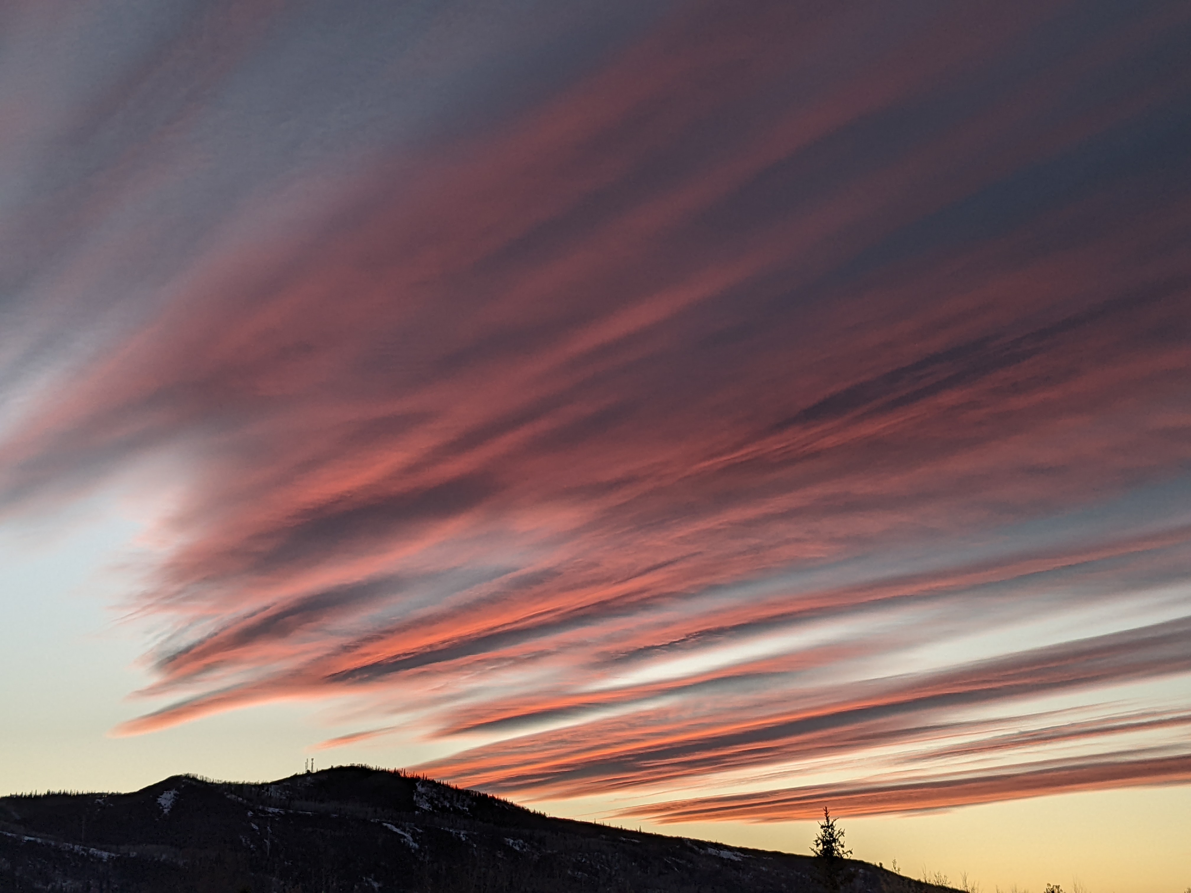
Warmer but still unsettled weather on tap for the upcoming week
Thursday, April 16, 2020
It’s still snowing in Steamboat Springs early this Thursday afternoon, with a storm total since Tuesday night of about 10” in town and 12” up top as of 11 am this morning. Snows should become more showery and end this evening with warmer weather in our future for the upcoming week. However, after a day and a half of dry weather starting tomorrow, April showers will occur for the rest of the upcoming week, possibly punctuated with another cold storm for the end of the work week.
The oft cliched ‘Spring in the Rockies’ will be on full display for the upcoming week, as we transition from the cold and wet winter weather these last two days to sunny and warmer for Friday and part of Saturday to warm and showery for most of the upcoming week.
Our current snowfall is courtesy of the interaction between a cold front associated with a slow moving storm and the overhead jet stream. Snows were really going at times last night when snowfall rates reached 4.5” per hour for twenty minutes as 1.5” of snow was observed to have fallen on the Powdercam between 1:20 am and 1:40 am!
Showers will diminish this afternoon and evening before ending by midnight, though pay attention to the timestamp below the picture when viewing the snow stake at the top of Sunshine Peak as my last updated image is currently from 11 am this morning.
Skies should clear on Friday with a chilly start to the day as the fresh snow cover and light winds conspire with the clear skies to allow lots of surface heat to escape to space overnight. The cold air mass will hinder the warm-up on Friday and Saturday with high temperatures ten to fifteen degrees below our average high of 53 F on Friday and five to ten degrees below our average on Saturday.
Temperatures will continues to warm for Sunday and be around average for the rest of the work week as waves of Pacific energy and moisture undercut a ridge of high pressure in the Gulf of Alaska and stream over our area. This will bring the proverbial April showers to our area starting as soon as Saturday afternoon and lasting through most of the next work week. Weather forecast models do have different ideas on the timing and strength of these waves, though it appears the strongest in this series should be around Tuesday afternoon.
Though it is a week out, there is a possibility of another cool storm near the work week’s end as one of these waves of Pacific energy and moisture may be far enough north to mix with some cold air from western Canada. I hope to have a better idea of whether we will see snow in the Yampa Valley from this storm by my next weather narrative scheduled for Sunday afternoon.
Add comment
Fill out the form below to add your own comments


