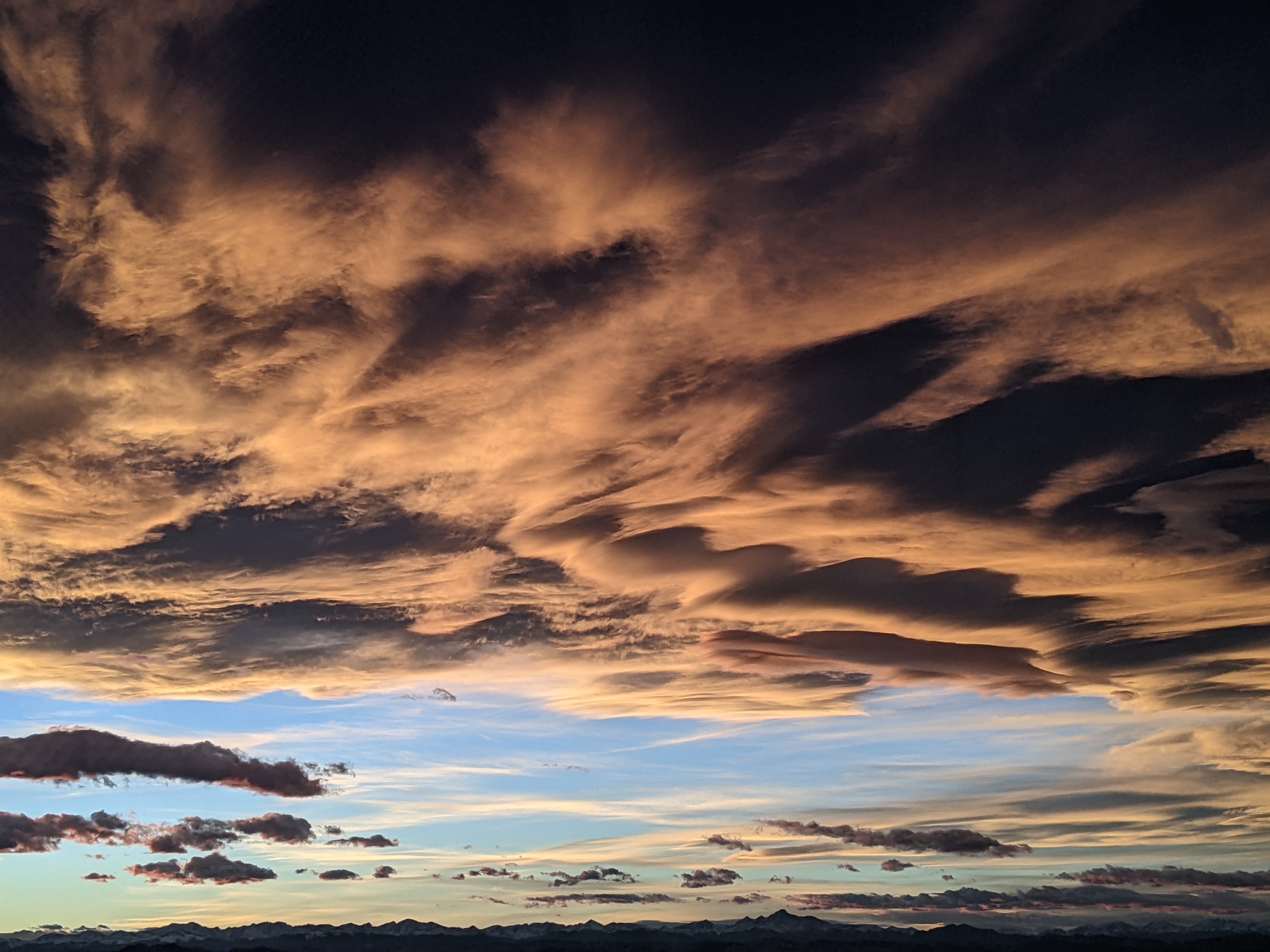
Wintry weather week ahead
Sunday, April 12, 2020
It would have been a Closing Day powder day at the Steamboat Ski Resort this Sunday as 6.5” of snow was at the top in time for the morning report. And we are up to 10” on the Powdercam as of 1 pm Sunday afternoon as showers continue behind last night’s cold front in the favorable cold, moist and unstable northwest flow. Winter weather is expected to last through most of the work week, punctuated with another significant storm for Thursday, before temperatures warm and skies clear heading into next weekend.
While a ridge of high pressure currently sits off the West Coast, a very cold air mass is centered over the southern Canadian Plains, and some of this cold air was brought over our area by the cold front last night. Our high temperature this Sunday of 36 F at the Bob Adams airport was likely reached at midnight last night as our afternoon temperatures show little inclination to rise much above freezing, though the sun peaking out in the valley may change that. Additional snow showers, especially at the higher elevations, will continue overnight and through Monday, with another 2-5” expected up top by Monday afternoon.
Another colder but much drier push of cold air is then forecast for Monday night. While no additional accumulations are expected, we could see low temperatures Tuesday morning at the top of Mt. Werner below zero and Yampa Valley temperature as low as the single digits, well below our valley average low of 25 F. But it looks like the sun will make an appearance for the first half of Tuesday before disappearing until Friday.
A Pacific wave currently in the Gulf of Alaska and rounding the top of the ridge of high pressure off the West Coast is forecast to move over our area Wednesday night in favorable and cool northwest flow. Snow showers could begin as early as Tuesday night ahead of the storm and become more intense and more numerous through the day Wednesday. Moderate to sometimes heavy snows are expected by Wednesday night, making any travel difficult, and 6-12” of snow is possible at the top of the hill by Thursday morning, with several inches possible in town. Trailing energy is expected to keep snow showers going during the day Thursday with another 3-6” of snow possible up top.
Meanwhile, incoming Pacific energy is forecast to take a route through rather than over the ridge of high pressure off the West Coast. This will allow the West Coast ridge to expand inland and displace the cold air over our region to the east. Much warmer and drier weather is currently forecast for Friday and at least part of Saturday before that Pacific energy approaches our area by mid-weekend. There is weather model disagreement on the speed and track of waves of Pacific energy traveling through the ridge, but warmer and possibly still unsettled weather is forecast starting mid-weekend and lasting into the next work week.
Add comment
Fill out the form below to add your own comments


