More unsettled weather for the upcoming week
Thursday, March 26, 2020
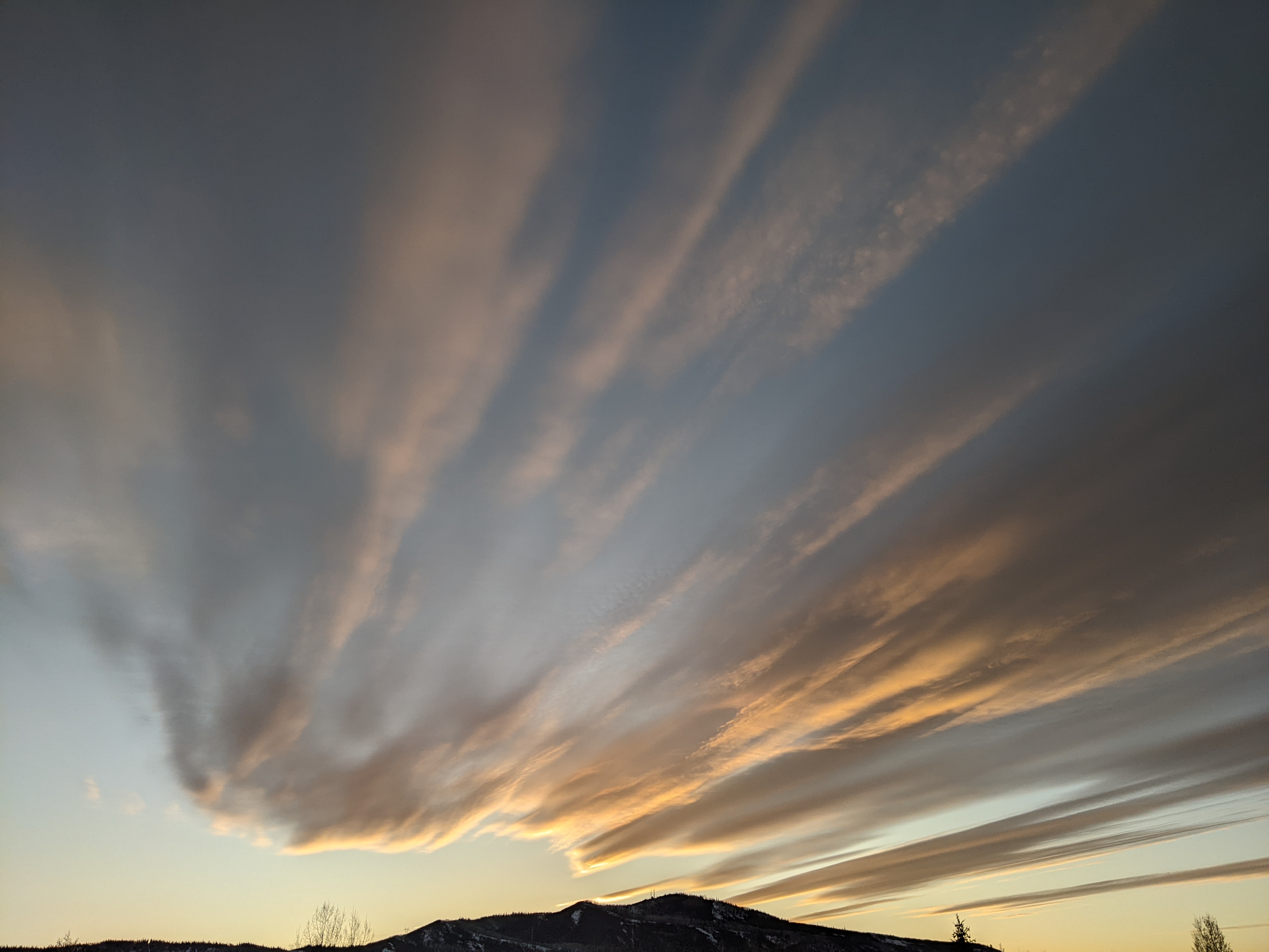
The Steamboat Springs area is seeing warm, sunny and breezy conditions this Thursday noon in advance of our next storm for Friday. Unsettled weather will persist through Monday before we see a quick break on Tuesday ahead of another round of unsettled weather.
Our current nice weather is courtesy of moderate and dry southwest flow ahead of a elongated storm that extends from just off the central California coast through the Great Basin and into the Canadian Plains. A small storm currently moving across the Gulf of Alaska will push the West Coast storm across the Great Basin tonight and over our area on Friday.
We may see some rain showers in the valley early in the storm on Friday, but much colder temperatures with snowflakes down to the Yampa Valley floor are expected by the end of the day. The storm is forecast to intensify to our east, which places our area in favorable cool, moist and unstable northwest flow through Saturday. I would expect 2-5” on the Powdercam by Saturday morning, with a break early in the day before showers, some of briefly moderate intensity, leave another 1-4” up top through the afternoon and evening.
Meanwhile, that small storm is forecast to cross the central California coast Saturday night and pass over our area Monday morning. We should see another brief break in the precipitation early Sunday before showers start up again during the day Sunday and Sunday night, with another several inches expected at the top of Mt. Werner by Monday morning.
More cool and favorable northwest flow behind the storm will keep showers going on Monday with another several inches possible under the heavier cells.
Meanwhile, a large, cold and strong storm develops in the Gulf of Alaska by the end of the weekend and is forecast to slowly move across the Pacific Northwest through the work week. We should see a break in the unsettled weather Tuesday into mid-Wednesday with the stormy weather staying to our northwest before a weak wave slingshots around the large storm and brings the chance of showers by later Wednesday.
There is weather model disagreement on the evolution and track of the large Pacific Northwest storm, but they agree that some sort of cold front approaches our area on Thursday and turns into a stationary front that looks to hang around our area through the weekend and into the following work week. We can expect at least unsettled and possibly stormy weather as waves of energy ejecting out of the storm move along the front through the entire period. I hope to have a clearer picture of what we may be in store for by my next scheduled weather narrative on Sunday afternoon.


