Storms for later Friday and later next week
Thursday, March 12, 2020
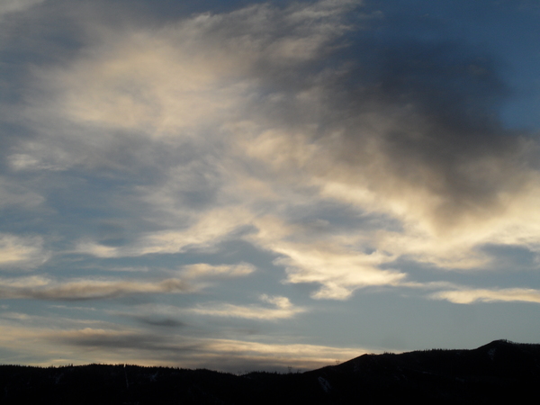
After a couple of tenths of an inch of rain fell near the base of the Steamboat Ski Area overnight, and 3” of snow near the top, skies are trying to clear this Thursday noon ahead of our next warm storm forecast from around noon on Friday into Saturday. Contrary to earlier expectations, the next significant storm for the Steamboat Springs area may wait until after mid-next week with warm and relatively quiet weather until then.
The weak cool front that grazed our area last night was not as productive as one of the short-term weather forecast model indicated yesterday afternoon, though the 2.5” at mid-mountain was in line with the others. Clearer skies are upstream and should be over our area this afternoon for some sun ahead of the next storm starting Friday.
This storm is currently located just off the southernmost coast of California and is forecast to be forced eastward across the Desert Southwest tonight by a large and cold storm moving southward along the West Coast from the Gulf of Alaska. The Desert Southwest storm is forecast to move across the Great Basin early Friday and over our area Friday afternoon. This is another warm storm that will begin as rain at the base and snow around mid-mountain starting around noon on Friday. The precipitation should come in bursts to start with dense snowfall rates over an inch per hour at times through the afternoon and evening. The storm passes over our area around midnight at which point we should see marginally cooler temperatures and somewhat lighter density snow in the westerly flow on the backside of the storm.
My current guess is 4-8” of snow by the Saturday morning report, some of which would have fallen the previous day. Showers look likely to continue through the day with another inch or two possible before drier air moves over our area later in the day.
What looked like an unsettled period ahead of a major storm early next work week has turned into a much drier and warmer forecast from Sunday through Wednesday as the Gulf of Alaska storm maintains its position off the West Coast, even as it moves southward. While this is good news for precipitation in California, it means much quieter weather for our area as the storm remains well to our west.
I would not be surprised for the timing to slow again by my next regularly scheduled forecast on Sunday afternoon, but right now the storm is forecast to take a similar track to the storm for tomorrow as it is forced eastward by another incoming Pacific storm. This would bring precipitation back to our area starting around Thursday and lasting into the following weekend.
Add comment
Fill out the form below to add your own comments


