Unsettled weather for the week ahead
Sunday, March 8, 2020
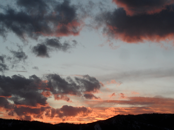
The Steamboat Springs area has seen some sun and clouds this Sunday, along with some raindrops below 8000′ and some snowflakes above. The weather today may be similar to the weather for the rest of the upcoming week, with some storms near our area that will provide for a fair bit of clouds but limited accumulating precipitation.
Currently, a weak wave that is passing over our area will allow showers to continue overnight. The best accumulations will be at the highest elevations to our north, but 1-4” of fairly dense snow is forecast by mid-morning Monday, with showers tapering off during the day and yielding to periods of sun, especially at the lower elevations.
Meanwhile, the southern branch of a split storm has formed an eddy off the California coast while the northern part of the split storm moves across the northern Rockies and grazes our area later Tuesday. After a partly cloudy start to the day. showers will increase again through Tuesday afternoon and evening with several inches possible by the Wednesday morning report.
Another Pacific storm moving through the Gulf of Alaska on Tuesday will encourage the California eddy to move eastward towards the Desert Southwest, though still slowly and unpredictably. The Gulf of Alaska storm will graze our area on later on Wednesday into Thursday, and may force the storm eddy to our southwest to eject some energy and moisture over our area. so there is a chance of some still-warm precipitation around then.
At this point, later Thursday into Friday is looking dry with some clouds and sun behind the storm to our north and ahead of the storm to our southwest.
A much stronger and colder storm is forecast to develop over the Gulf of Alaska on Thursday, move southward along the West Coast on Friday, and give the southwestern storm the boot. While the southwestern eddy will likely bring copious precipitation to southern Colorado and at least the southern part of the Front Range and Colorado plains around Friday, our area will be on the northern fringe of the storm, so expect more unsettled weather with some sun, clouds and showers for Friday.
More unsettled weather is expected for the weekend behind that storm as it moves east and ahead of the Gulf of Alaska storm which is forecast to be along the central California coast by mid-weekend. There is uncertainty in the eventual track and strength of this storm as it will be influenced by another possible cold Gulf of Alaska storm, but weather forecast models agree that we have a chance for wintry weather during the following work week.
Add comment
Fill out the form below to add your own comments


