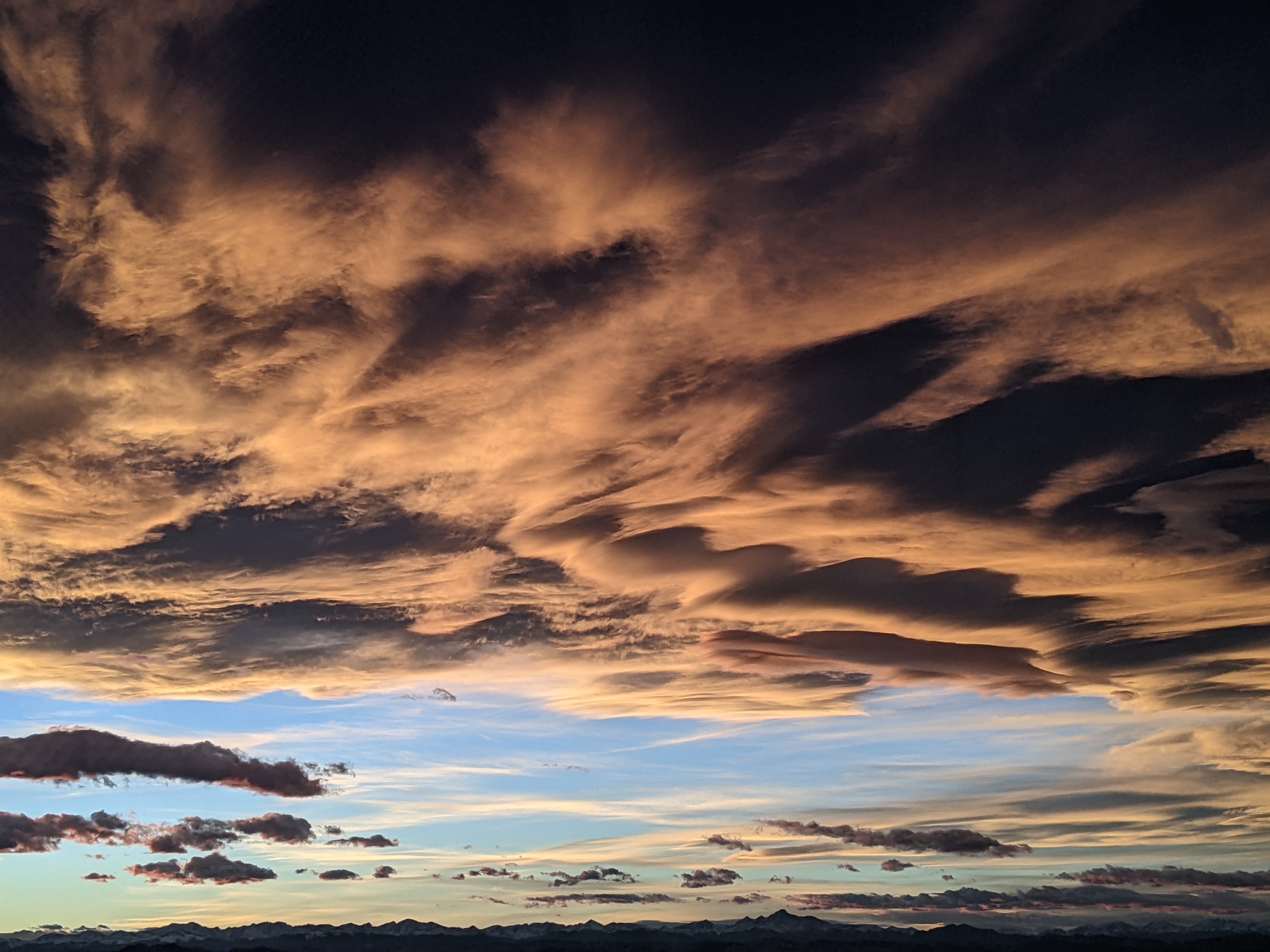
Warm snow today followed by cold snow on Monday
Sunday, February 23, 2020
The Steamboat Springs area is currently seeing some dense and very light intensity snowfall this Sunday noon with the temperature in town right at freezing and the temperature at the top of Mt. Werner 21 F. The storm from the southwest bringing the snow is departing, moved along by a much colder storm from the Pacific Northwest that will bring modest snowfall and unseasonably cold temperatures for Monday and Tuesday. There are good chances for more snow Wednesday night into Thursday even as temperatures rise before the weather dries and warms further heading into next weekend.
The Steamboat Ski area received an inch of snow early this morning from the warm storm that moved over the Desert Southwest yesterday. We could see another inch or two today as the storm departs that would be reported on the Monday morning ski report.
Following closely is a much colder storm currently crossing the Pacific Northwest coast. A cold front will pass through our area early Monday morning, likely around report time, bringing a quick inch or so of snowfall. Winds will swing around to be from the northwest and low-density snows will increase in the cold and unstable air mass through the afternoon, leaving 2-5” of accumulations by sunset.
Snows will continue overnight and through early Tuesday evening as they taper off during the day. With the expected 2-5” of snow overnight Monday, there could be as much as 4-10” of snow for the Tuesday morning report, with another 1-4” falling during the day. Temperatures will be quite cold, with high temperatures at the top of the hill struggling to reach the middle single digits on Tuesday before falling to below zero for Wednesday morning. And temperatures in town will be colder still for the Wednesday morning low if skies clear.
Meanwhile, a ridge of high pressure is forecast to build over the Gulf of Alaska on Monday and cross the West Coast on Tuesday. So we may see some sun after the cold start to Wednesday morning with warming occurring later in the day, especially at the higher elevations, as the ridge of high pressure approaches. However, Pacific energy and moisture riding over the top of the ridge will graze our area from Wednesday night through Thursday, bringing another chance of modest accumulations to the mountains.
At one point, it looked like another chance of snow for Thursday night, though latest weather forecast models have trended stronger with the ridge. With very cold air forecast to cover the eastern two thirds of the continent, there is still a chance that Pacific energy will mix with that cold air and move closer to our area, and with that in mind I’ll likely be moving my usual Thursday afternoon weather narrative to Wednesday afternoon in order to provide more details on snow amounts for Thursday and the possibility of a trailing storm for Thursday night.
In any case, the ridge of high pressure prevails for Friday and Saturday bringing a beautiful, warm and spring-like start to the weekend. However, there are additional Pacific storms lined up that could bring precipitation back to our area as soon as Sunday and continuing into the next week.
Add comment
Fill out the form below to add your own comments


