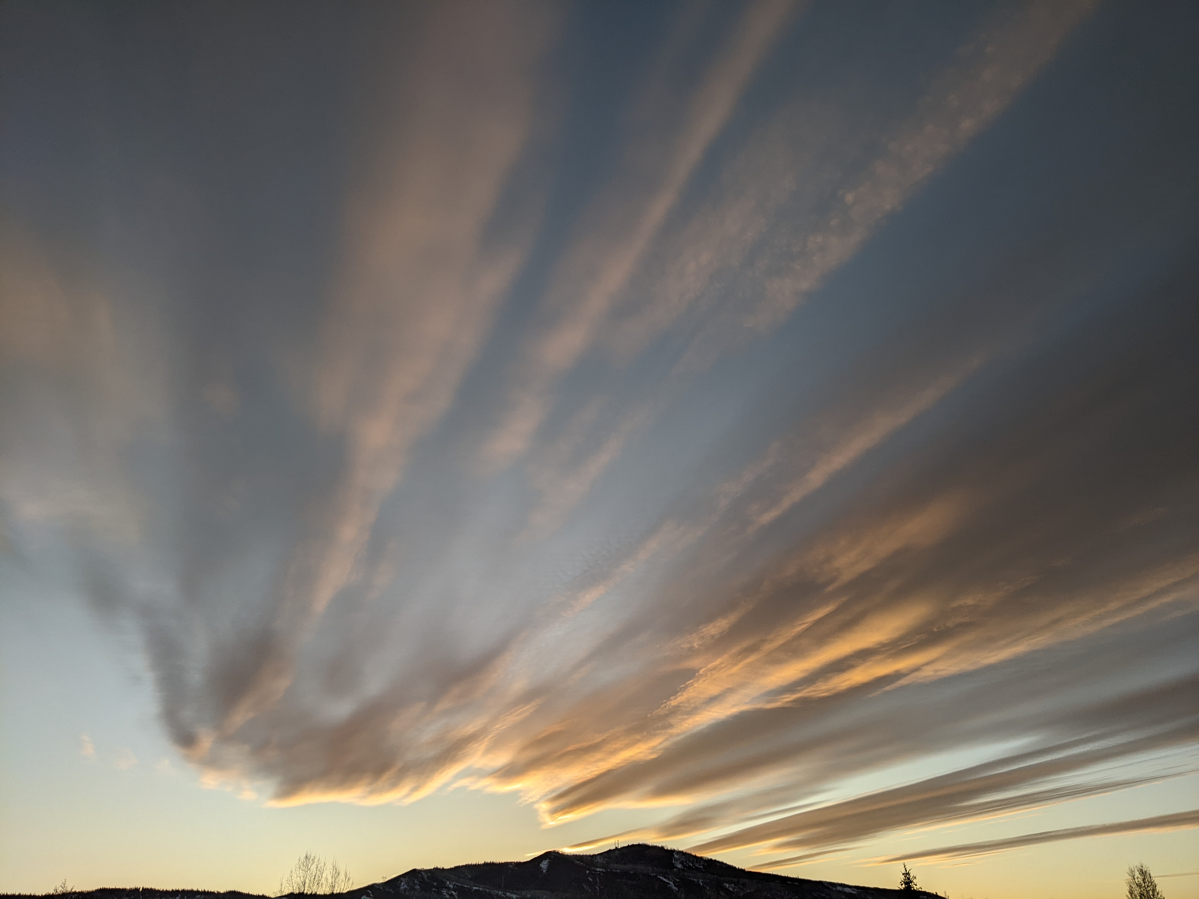
Next big storm starts on Sunday
Thursday, February 13, 2020
It was snowing this Thursday morning in Steamboat Springs, and with the 7” of snow currently showing on the Powdercam at the top of Sunshine Peak added to the 5” yesterday, the upper mountain has received around a foot of very light and fluffy snow. The phone report this morning disappointingly omitted the base measurements today, which is odd as I expect that we hit the century mark up top for the first time this season.
As discussed in the the last weather narrative on Sunday, this storm ended up tracking much further west than the weather forecast models had earlier indicated, which is not unusual when there is a giant pool of cold air to our northeast that is accessible to mix with storms from the northwest.
There may be additional showers this afternoon in the cold, moist and unstable northwest flow behind the storm, with another 1-4” possible before we dry out on Friday and see the sun return.
Another storm grazes our area on Friday night into Saturday morning, though this one is currently trending weaker than earlier forecast. While there is some cold air associated with the storm, and we may see some showers as the storm passes by through early Saturday, we may see some sun again by the afternoon as the inconsequential storm moves to our east.
But the break in the weather will be short-lived as a good-looking storm begins snow in our area on Sunday. While weather forecast models agree on significant precipitation, the disagree on the timing and length of the storm, with the European ECMWF currently bringing the greatest impacts during the day Sunday and the American GFS starting higher intensity snows later in the day Sunday and continuing them into the Washington’s Birthday holiday.
Most of the uncertainty is due to the storm possibly splitting as it crosses the Pacific Northwest coast on Sunday. The ECMWF keeps the storm mostly moving which means earlier snows with less duration. The GFS, on the other hand, forecasts a significant split in the storm, slowing its eastward movement and stalling the cold front over our area from Sunday night through part of Monday.
Either solution or a compromise is possible at this point, with a rough guess of a foot if the ECMWF verifies and possibly twice that if the GFS is right. I may push my regularly scheduled Sunday weather narrative to Saturday if there is more agreement in the weather forecast models by then.
Regardless, they both concur more cold air will follow the storm and persist through at least midweek. But the weather beyond midweek is very uncertain, and is dependent upon how much the storm ends up splitting earlier in the week. The more aggressive GFS, with its stronger split, has the southern end of the split forming a warm storm that moves over our area later in the work week, while the ECMWF has cooler and more showery weather for that time frame. Stay tuned for my next forecast on Saturday or Sunday for more details.


