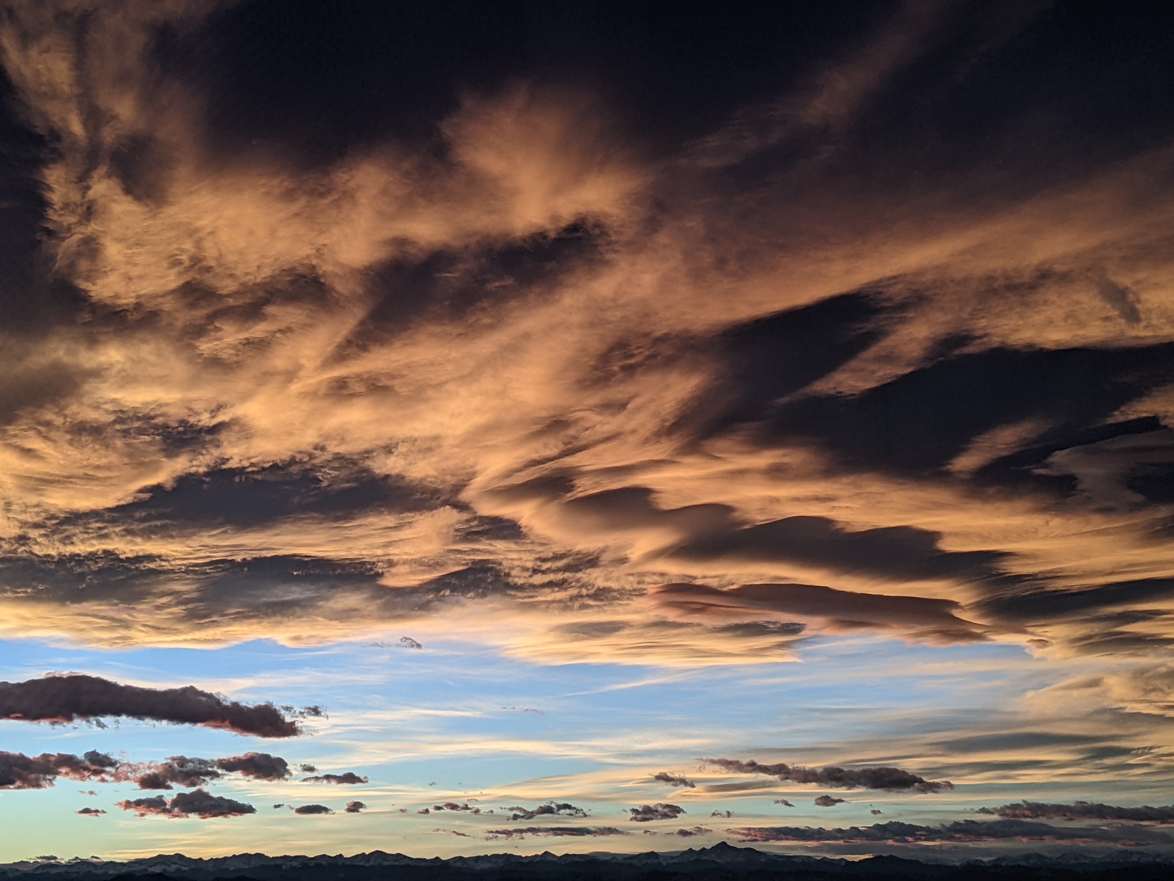
Let the snows begin
Thursday, January 9, 2020
After four inches was reported this Thursday morning on the mid-mountain ski report at the Steamboat Ski Area, and five inches up top, clouds have increased this afternoon ahead of our next small storm for tonight into Friday. After a break Friday night into early Saturday, the start of a long-duration snow event begins Saturday afternoon and extends into Wednesday morning. Quite cold temperatures will accompany most of the snowfall which could total in the 15-30” range by midweek.
Currently, a storm sliding down the West Coast has mixed with some cold air from Western Canada and is forecast to split as it crosses the Great Basin tonight. Despite the split, we likely see another 1-4” from this storm after snow starts this afternoon, with some occurring after the Friday morning report. The air mass dries considerably after Friday morning as cold air from the northern branch of the split pours over our area, leaving mountain-top temperatures struggling to reach the mid-single digits during the day.
A quick-moving ridge of high pressure crosses over Friday night into Saturday morning, allowing temperatures to warm about ten degrees from Friday. But don’t be fooled if the sun briefly appears early in the morning as a storm that traveled across the Gulf of Alaska on Friday restarts snow showers by sometime between mid-morning and mid-afternoon. This is the beginning of a series of storms that will move over our area in generally brisk and favorable northwest flow through the weekend and the beginning of the next work week. This first storm should leave 4-8” of snow for the Sunday morning report.
Some ill-defined waves moves through the northwest to perhaps westerly flow on Sunday and Monday, keeping light to moderate snows going through both days. Timing of the waves and snowfall amounts are uncertain at this time, but right now 3-6” for each of Monday and Tuesday reports are preliminary guesses. And be aware that strong westerly winds, if they occur, may affect snow quality on the predominantly westerly facing ski area slopes.
It does appear there will be a short break during the day Tuesday before the last wave in this series moves over our area. At this point, the storm looks to bring 4-8” by Wednesday morning, though that will likely change as we get closer to the end of this impressive long-duration snowfall event.
I plan to publish my next weather narrative on Sunday afternoon and should have better guesses for the remaining snow amounts. Additionally, the atmosphere looks to undergo a pattern change after this event as a ridge of high pressure over the Bering Sea is undercut by a strong and active Pacific jet stream, and I hope to have some clarity on how that may affect us as well.
Add comment
Fill out the form below to add your own comments


