Snows Sunday into Monday and then next weekend
Sunday, December 8, 2019
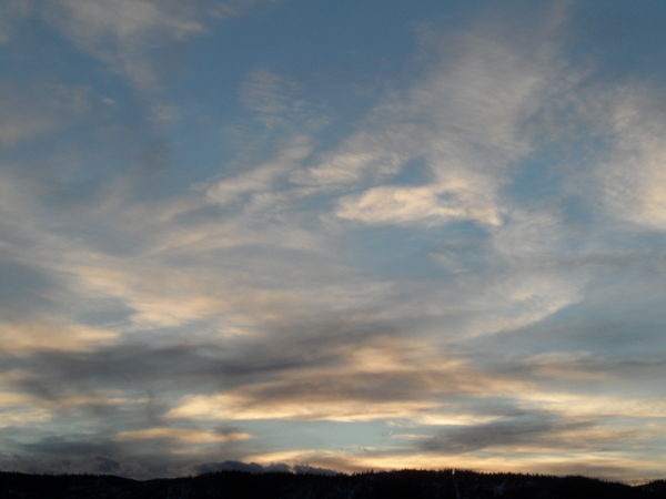
Clouds and a few snow showers have greeted Steamboat Springs residents this Sunday morning ahead of a storm for this afternoon and tonight. Not much more snow is expected after Monday morning until a possible long-duration event begins around Friday and extends through next weekend.
Currently, a batch of showers is traversing across western Utah and is associated with the northern part of a split storm that extends into southern California. While the storm will continue to split today, our area should see good snowfall this afternoon and overnight as the northern part of the storm swings through.
While snows may have a tough time getting started this morning, we should see some moderate to possibly heavy snowfall for a time this afternoon and into the evening as a weak cool front ahead our portion of the storm turns winds to be from the southwest to the west and eventually the northwest. Temperatures may be warm enough ahead of the front for some mixed rain/snow in town that should turn to all snow as precipitation rates increase in the afternoon, especially around sunset. Travel may be difficult for a short time, especially at pass level, during the heavier showers.
While snowfall intensities will decrease for a time this evening, a stronger cold front is forecast to pass through our area within several hours of midnight. Snowfall should increase around the front, and become lighter and fluffier before tapering off during Monday morning. I would expect 6-12” of snow to be reported on the Monday morning mid-mountain report, with a bit more than that at the top as the orographic, or terrain-driven snowfall in favorable northwest flow favors the higher elevations.
Unfortunately, the split storm will not allow further accumulations later Monday into Tuesday as my forecast last Thursday indicated was possible. So only 1-4” of snow is now expected after the Monday morning report and before noon.
While a ridge of high pressure temporarily builds over our area on Tuesday for a nice day, a weak and moisture-starved storm is forecast to pass through the ridge on Wednesday, bringing some clouds but likely no precipitation.
However, this does open the door for a steady stream of Pacific energy and moisture to move over our area as soon as Friday. So after a pleasant Thursday, a long-duration precipitation event is advertised to begin by the end of the work week and last through the weekend. Generally light to perhaps moderate snows will wax and wane on Friday and Saturday in the relatively warm temperatures as difficult-to-time waves of energy periodically pass through in the moisture-laden atmosphere.
A stronger wave is advertised to mix with some cool air from western Canada near the end of the event, currently timed for around Sunday, which would create the heaviest snowfall rates and lightest snow densities. If this occurs, it would make for some great skiing and be the cherry on top of several days of snowfall.


