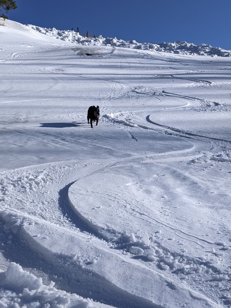
Dry weather follows chance of light snow tonight
Sunday, November 10, 2019
After another sunny bluebird morning in Steamboat Springs, clouds have overspread northern Colorado in advance of a grazing storm that will be mainly felt in areas to our east. There will be a chance of some light snow showers tonight and early Veterans Day morning, especially at the higher elevations before dry weather is forecast for the rest of the upcoming week.
A persistent ridge of high pressure over the West Coast has been deflecting incoming Pacific weather systems around our area for the last week. However, the storm currently on our doorstep has managed a far-enough-west trajectory to bring the chance of some snow showers tonight and early Monday morning, especially at the higher elevations.
While the main effects of the storm will be felt east of our area, including the Front Range, we will see high temperatures on Monday five to ten degrees below our average of 46 F, even with some afternoon sun. A chilly start to Tuesday morning follows as the clear skies and light winds allow temperatures to drop ten to 15 degrees below our average of 19 F.
Sunny skies will be the rule through the work, with temperatures around average on Tuesday bouncing back to five to ten degrees above average for the rest of the work week, despite another grazing storm later Wednesday that looks to have very little effect on our weather.
A strong storm is forecast to develop in the Gulf of Alaska midweek, and weather forecast models agree that this may be the beginning of a hemispheric pattern change that will deamplify or remove the West Coast ridge of high pressure and allow Pacific storms to propagate inland.
Forecasts are always uncertain during major pattern changes such as this, but currently the storm is likely to split to some degree as it crosses the West Coast early in the weekend (as forecast by the American GFS last week). There is disagreement on how much energy is partitioned in the northern and southern parts of the split, though the weather will likely remain dry over the weekend with this initial storm. That does look to change soon after the following work week starts as additional storms are forecast to move inland and possibly pass near or over our area.
Add comment
Fill out the form below to add your own comments


