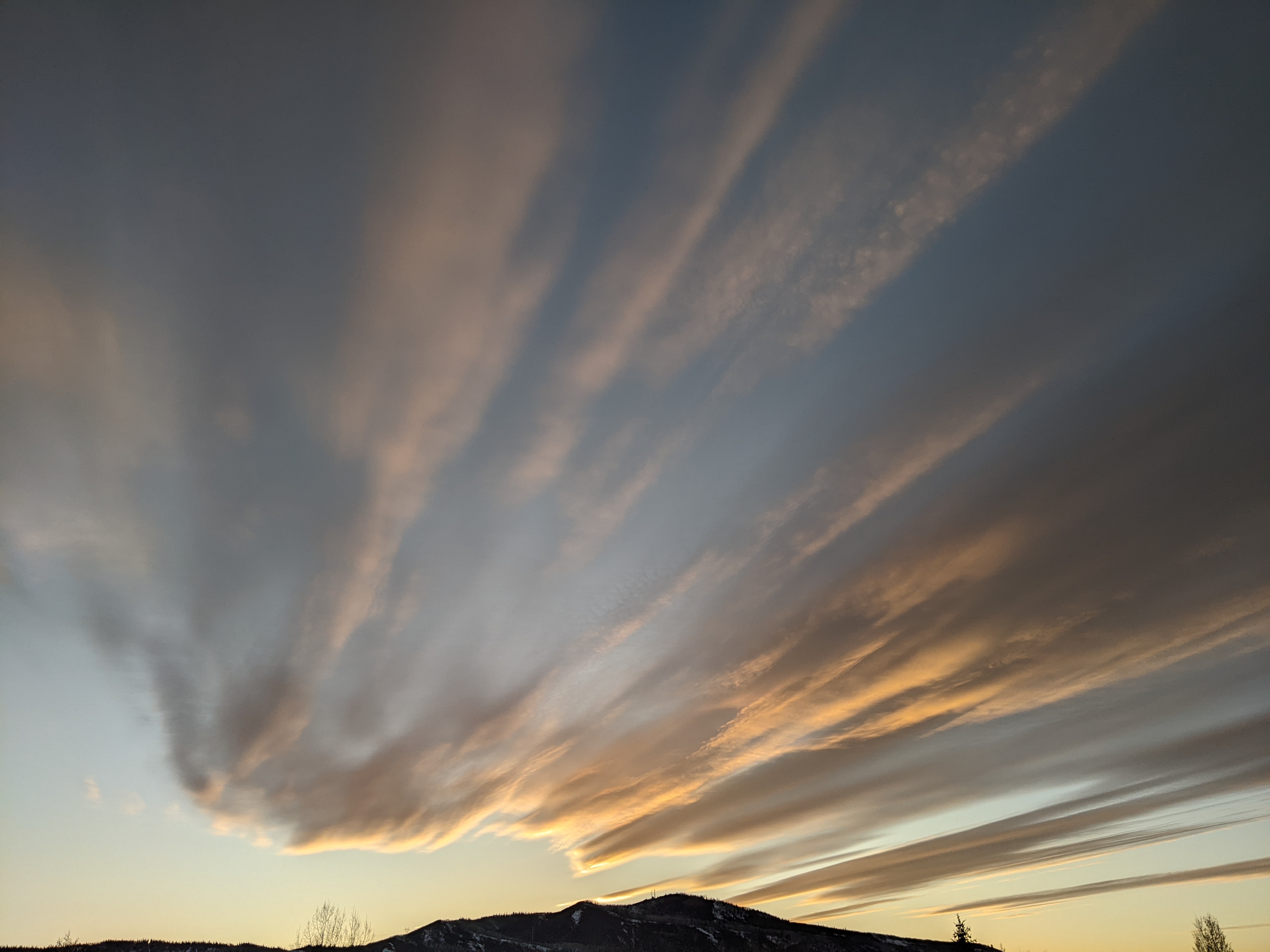
Several cool fronts for the upcoming week
Thursday, September 5, 2019
The Steamboat Springs area is experiencing another warm and sunny summer morning this Thursday. Several cool fronts will pass through northern Colorado later Friday, later Sunday and again near the middle of upcoming work week, increasing rain chances and decreasing temperatures.
Currently, storms are spinning off the Pacific Northwest coast, the Gulf of Alaska and the Bering Sea as a strong ridge of high pressure sits over the west. There is some monsoonal moisture that is being drawn northward underneath the ridge that may produce some showers around our area later this afternoon and evening, though they will likely produce more wind than rain as the lower levels of the atmosphere are still quite dry.
While the solar heating of the earth’s surface weakens as the sun lowers in the September sky, the jet stream sinks further southward and closer to our area, coincident with a weakening of the ridge of high pressure over the west. And as the sun lowers in the sky, the polar regions rapidly cool, strengthening the jet stream and intensifying storms.
So the jet stream will carry the first storm from the Pacific Northwest across the northern Rockies later Friday, and we’ll see increasing chances for showers on Friday afternoon and overnight ahead of and along the cool front.
Temperatures will cool for Saturday, dropping from ten degrees above our average of 76 F on Friday to around average. There is some dry air behind the front on Saturday which may keep the best moisture residing to our south at bay for at least part of the day, or even the whole day. So the current forecast for Saturday is looking drier than it has the past few days, though there may still be a chance of afternoon and evening showers.
The next storm crosses the West Coast mid-weekend, and is stronger, colder and much further south than the Friday storm. There is brief ridging between the storms, which should allow for a sunny Sunday morning before the second cold front passes through later Sunday.
This will be the strongest cool front we have seen since the snowfall we saw in town on June 23. Since there will be plenty of moisture, not only from the storm itself but from the monsoonal moisture drawn northward in the southerly flow ahead of the front, there is a good chance of moderate to heavy rainfall at times from Sunday afternoon through the evening.
Skies should clear by Monday morning giving way to a beautiful and likely fall-feeling day, with low temperatures several degrees cooler than our average of 39 F and the possibility of frost in the lowest-lying areas.
More of the same is forecast for Tuesday before the third Pacific storm crosses the West Coast later in the day. This one looks to be cooler that the second, but not as wet as the monsoonal moisture is forecast to stay well to our south. There is disagreement among the weather forecast models with respect to the eventual strength and timing of the storm, but based upon the American GFS, we could see increasing clouds on Wednesday in advance of the front and a good shot of moderate to heavy rain at times later Wednesday that could continue into the overnight hours.
Thursday and Friday look to be cooler and mostly dry, though there will be a chance of showers in the cool and unstable northwest flow behind the storm on Thursday afternoon.
Weather forecast models are currently agreeing that the following weekend will be dry, though they disagree on whether temperatures will be warmer than or closer to average.
Add comment
Fill out the form below to add your own comments


