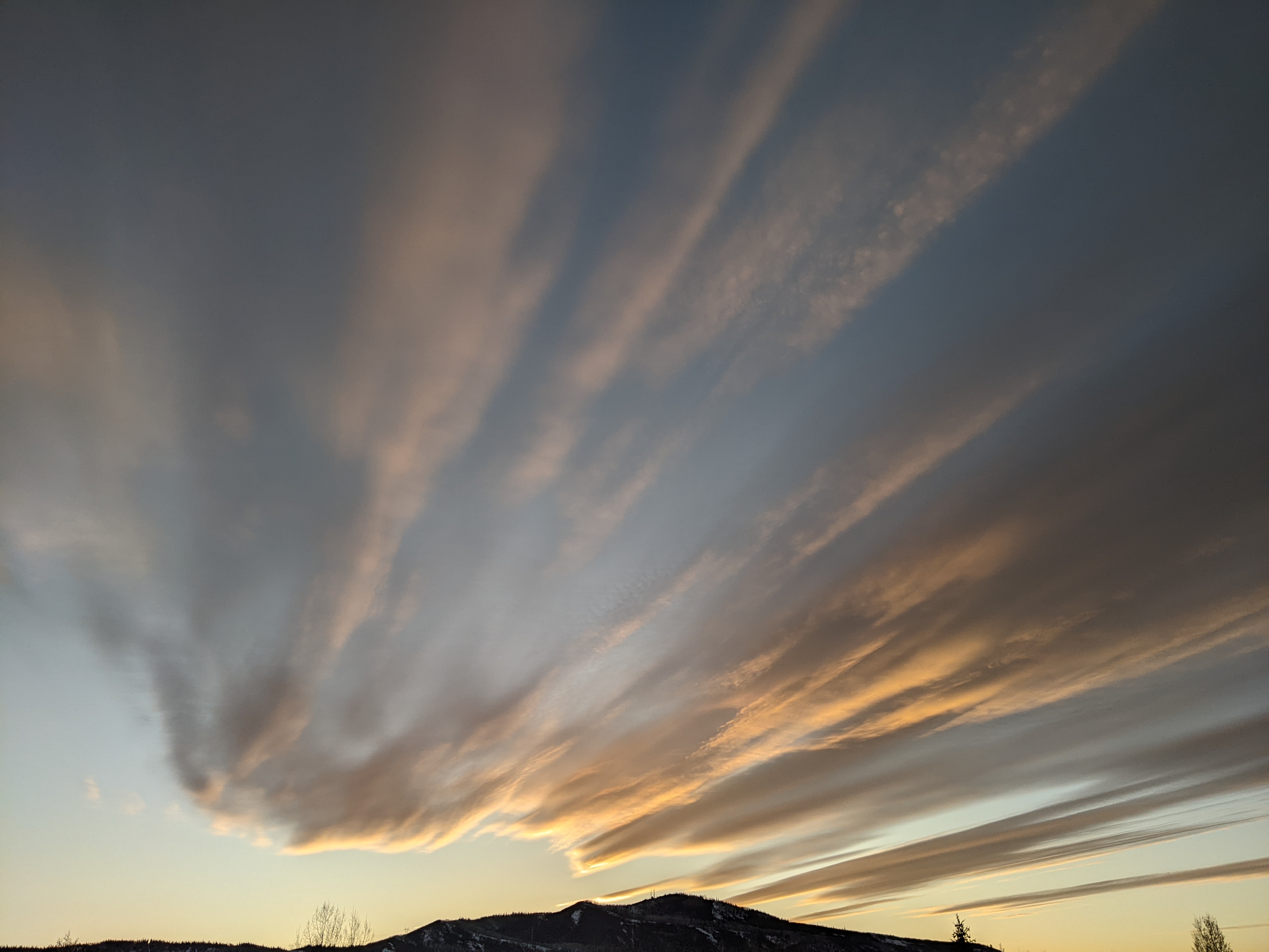
Another monsoonal surge of moisture peaks on Thursday
Sunday, July 28, 2019
Sunny skies with some fair-weather cumulus clouds are currently over the Steamboat Springs area this Sunday morning, after a well-advertised and productive monsoon event yesterday brought around four tenths of an inch of beneficial rains to our area during the afternoon and evening. We’ll dry out today and Monday before moisture increases again starting Tuesday afternoon and peaking on Thursday, when we will see the best chance of wetting rains for the upcoming week.
A ridge of high pressure over the west has been flattened by not only the monsoonal disturbance yesterday, but also a storm currently moving across the southern Canadian Plains. Much drier has moved overhead and will persist through Monday with very little or no chance for precipitation. High temperatures today will be on the cooler side of our 82 F average, but as the western ridge of high pressure rebuilds, high temperatures will increase to be on the warmer side of average on Monday.
By Tuesday, another subtropical disturbance is forecast to move northward across Arizona along the western periphery of the ridge of high pressure, very similar to the disturbance that brought the rains yesterday, though further east. So another monsoonal surge is likely for our area, with upper level moisture increasing on Tuesday for a chance of afternoon or evening storms that would produce more wind than rain.
The disturbance is forecast to move north across Utah on Wednesday before rounding the top of the ridge and moving near our area on Thursday. Moisture will increase at all levels of the atmosphere, giving a good chance of wetting rains for later Wednesday and a better chance for Thursday.
The western ridge of high pressure is forecast to quickly rebuild behind the departing storm on Friday, thanks to the southerly flow ahead of a series of disturbances dropping into the Gulf of Alaska from the north. We will dry out substantially by then and heading into the weekend, even as the southerly flow keeps some moisture around, though perhaps not enough for precipitation. That looks to change after the weekend as another monsoonal surge is forecast by some weather forecast models to move over our area and increase precipitation chances for the following work week.


