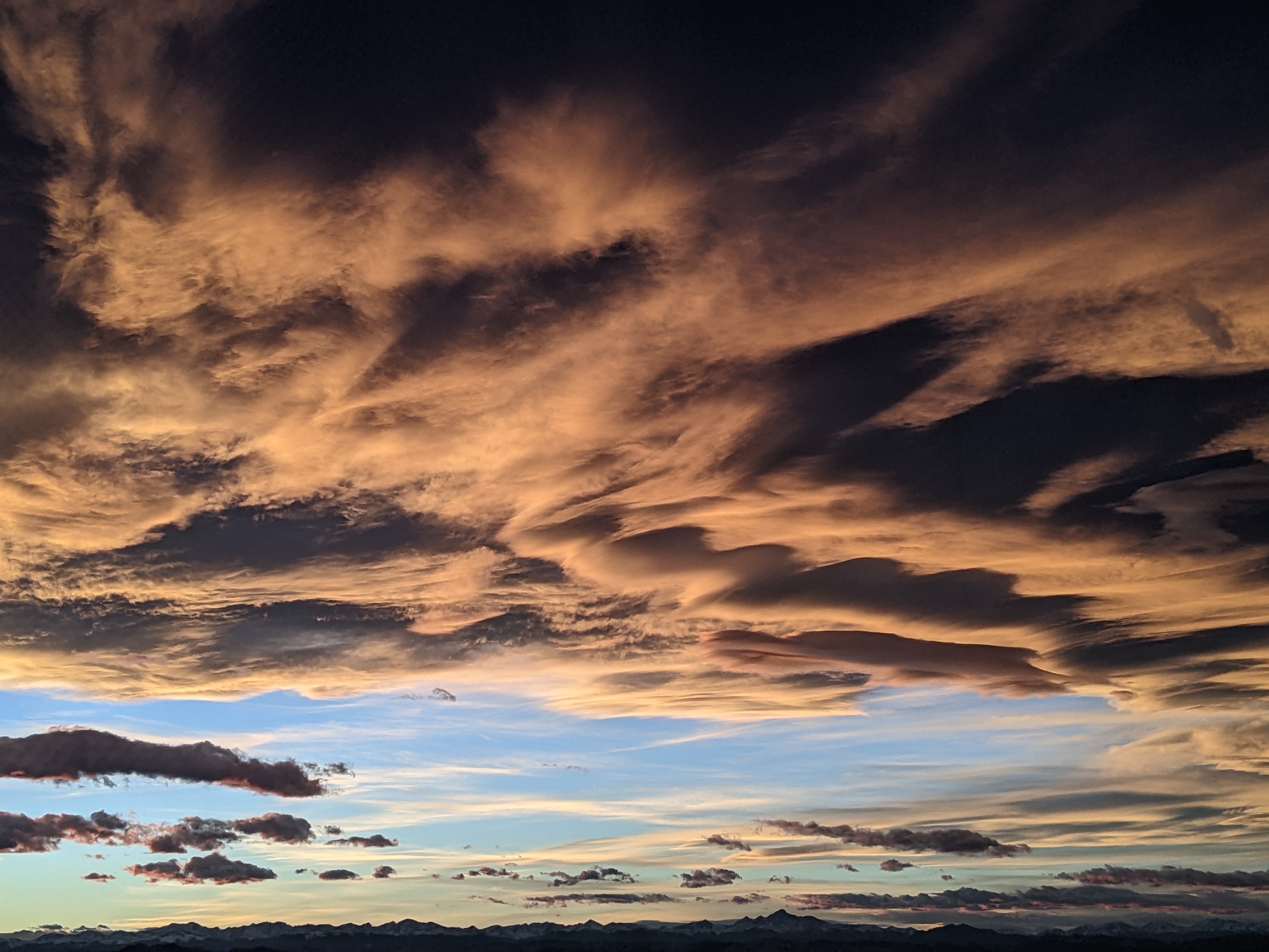
Moisture begins increasing this weekend
Thursday, July 18, 2019
The Steamboat Springs area is enjoying a quintessential mid-summer day with sunny skies and warm temperatures. This will continue into the first part of the weekend before a weak cool front grazes north central Colorado and briefly increases atmospheric moisture later Saturday and Sunday. Drying is then forecast for the early part of the work week before a monsoonal surge of moisture moves overhead starting around midweek.
A ridge of high pressure over the west has been flattened by a seasonably strong jet stream traveling across the northern Rockies. Winds will become breezy from the west again today and tomorrow as a disturbance passes north of our area with temperatures several degrees above our average high of 82 F.
By later Saturday, the disturbance drags a weak cool front through northern and eastern Colorado. While the strongest storms will be relegated to the Front Range and eastern Colorado, we will see increasing clouds with a small chance of an afternoon or evening shower on both Saturday and Sunday. These will likely produce more wind than rain as the lower levels of the atmosphere remain quite dry.
Ahead of another disturbance that moves east across the northern Rockies from the Gulf of Alaska later in the work week, the ridge of high pressure over the west amplifies. As discussed in the weather narrative last week, subtle changes in the location and strength of the ridge can alter the trajectory of monsoonal moisture that ends up over our area, but right now Monday and at least most of Tuesday are looking hot and dry as the monsoonal moisture is transported northward into Utah.
By around midweek, the Gulf of Alaska disturbance makes landfall in the Pacific Northwest and again flattens the ridge of high pressure over the west as it moves east across the northern Rockies. This bends the monsoonal moisture plume towards our area around Wednesday when we should see increasing moisture and at least some cloud cover that will lower afternoon temperatures closer to average.
Shower chances look to increase after midweek and into the following weekend as the monsoonal moisture plume is forecast to remain near or over our area.
Add comment
Fill out the form below to add your own comments


