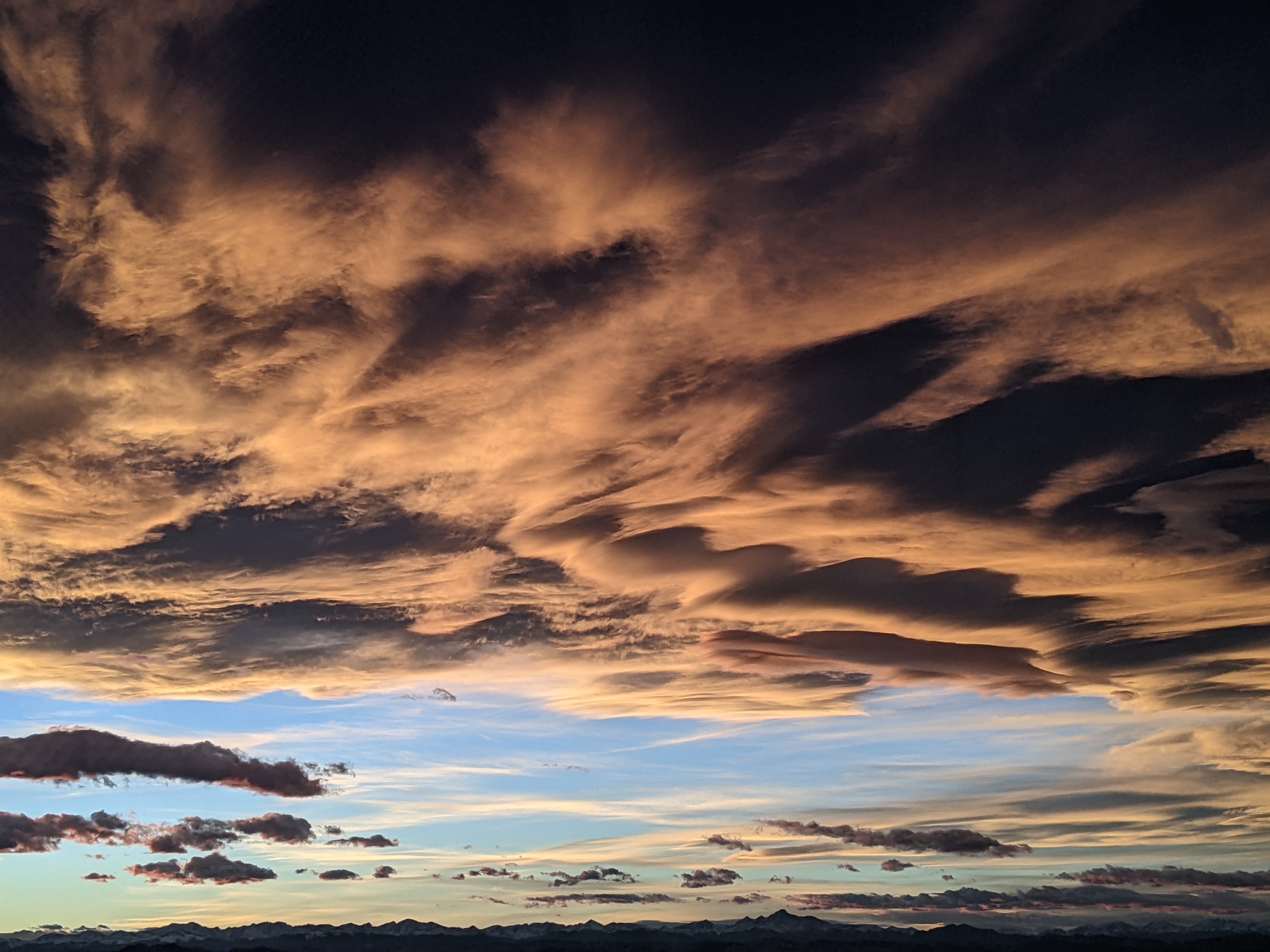
Here comes the North American Monsoon
Thursday, July 11, 2019
The warm, dry and sunny weather we are currently experiencing in Steamboat Springs this Thursday afternoon will give way to increasing moisture starting Friday. Clouds will increase along with increasing precipitation chances that will persist through the weekend and into the next work week.
An expansive ridge of high pressure is currently covering the western two thirds of the country, with Tropical Storm Barry threatening the Louisiana coast on the southeastern side of the ridge and continued storminess in the Gulf of Alaska on the northeastern side of the ridge.
Contributing to the strength of the ridge is the strong summer heating of the elevated Mexican Plateau, and the on-time appearance of the North American Monsoon is due to moisture originally from the Caribbean being pulled first westward and then northward around the ridge of high pressure. While we do not see the intensity and persistence of precipitation associated with the Indian Monsoon (which is much stronger due to the higher and broader Tibetan Plateau), our area will see increased clouds with a greater likelihood of locally moderate to heavy precipitation, due to not only the increased moisture but also the relatively slow storm movement thanks to the light winds under the ridge. Another hallmark of the North American Monsoon is warmer overnight temperatures as the increased moisture acts like an earth-blanket, and possibly slightly cooler afternoon temperatures if the clouds are persistent and thick enough to block some of the sun.
And its not certain we will see any precipitation as these monsoonal surges of moisture produce relatively spotty coverage, but there will be some chance on Friday, with more of a chance on Saturday and better chances on Sunday and Monday.
By Tuesday, the Gulf of Alaska storminess is forecast to move inland well north of our area, but the increased westerly flow will not only flatten the ridge of high pressure over the west, but sever our fetch of moisture from the south. The end result is decreasing precipitation chances for Tuesday and Wednesday, along with some breezy westerly afternoon winds.
Subtle changes in the strength and position of the ridge of high pressure can drastically affect the northward extent of monsoonal moisture and the resultant forecast, but right now moisture may begin to increase again for the end of the work week before a more robust surge of monsoonal moisture may occur around the following weekend or soon thereafter.


