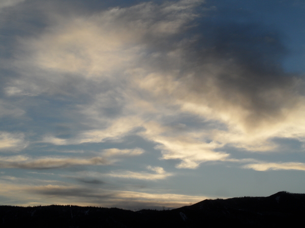
April-like weather persists for the work week
Sunday, May 19, 2019
The weather in Steamboat Springs has felt more like April than May since Friday when the first storm in a complicated weather pattern brought 8” of snow to the top of Mt. Werner by Saturday morning, about 4” to Rabbit Ears Pass and about 0.4” of rain to the Yampa Valley. More high elevation snow and low elevation rain is forecast for much of the upcoming work week before quieter weather appears for at least part of the long Memorial Day weekend.
The current cold and wet weather pattern is courtesy of a series of storms in a very active Pacific jet stream. After a brief break between storms late yesterday, the mostly cloudy conditions early this Sunday afternoon may give way to showers later in the day ahead of the next storm currently crossing the California coast.
Showers look to be on and off through the first half of Monday with continued unseasonably cool temperatures before another incoming Pacific storm forces the first California storm across the Desert Southwest during the day and very near our area by Monday night. This storm has a lot of moisture and enough cold air to once again bring snowflakes down to the Yampa Valley floor.
Moderate to heavy precipitation is expected from Monday afternoon through Tuesday night, with precipitation becoming lighter and eventually more showery on Wednesday. We’ll likely see well over an inch of liquid water or liquid water equivalent from this storm and snow totals of 8-16” above 10,000′, with half that at 9,000′. Travel should be difficult at pass levels during this period.
By Wednesday, precipitation should become more showery as the storm is forced first north and then anomalously west by the combination of the strong storm sliding down the California coast and a building ridge of high pressure over the southeastern U.S.
Any breaks in precipitation are likely to be brief as part of the Tuesday storm moves across the northern U.S. border and part eventually merges with the California storm to our west. The evolution of this combined storm will likely change before it affects our area, but right it looks to split, with a large piece moving near our area later Thursday and a smaller piece staying behind in California and merging with yet another incoming Pacific storm.
So another round of moderate to heavy precipitation is advertised for later Thursday, with snowflakes once again possible to the Yampa Valley floor and accumulating snows above 8,000′ or so.
If the atmosphere behaves as predicted, the southeastern U.S. ridge of high pressure briefly bulges into Colorado on Friday, interrupting the procession of storms over our area. Though Friday will be noticeably drier than the previous week, seasonably cool temperatures with a chance of afternoon showers can be expected.
For the long Memorial Day weekend, there is a fair bit of uncertainty as our region will be caught in a battle between three air masses; namely the warmer and drier one associated with the southeastern U.S. ridge of high pressure, the stormier one from southern California and now a cold and moist one from the northern latitudes. Though the timing is uncertain, it appears we will have at least one push of cool and moist air from the north around mid-weekend that would bookend drier but still seasonably cool weather.


