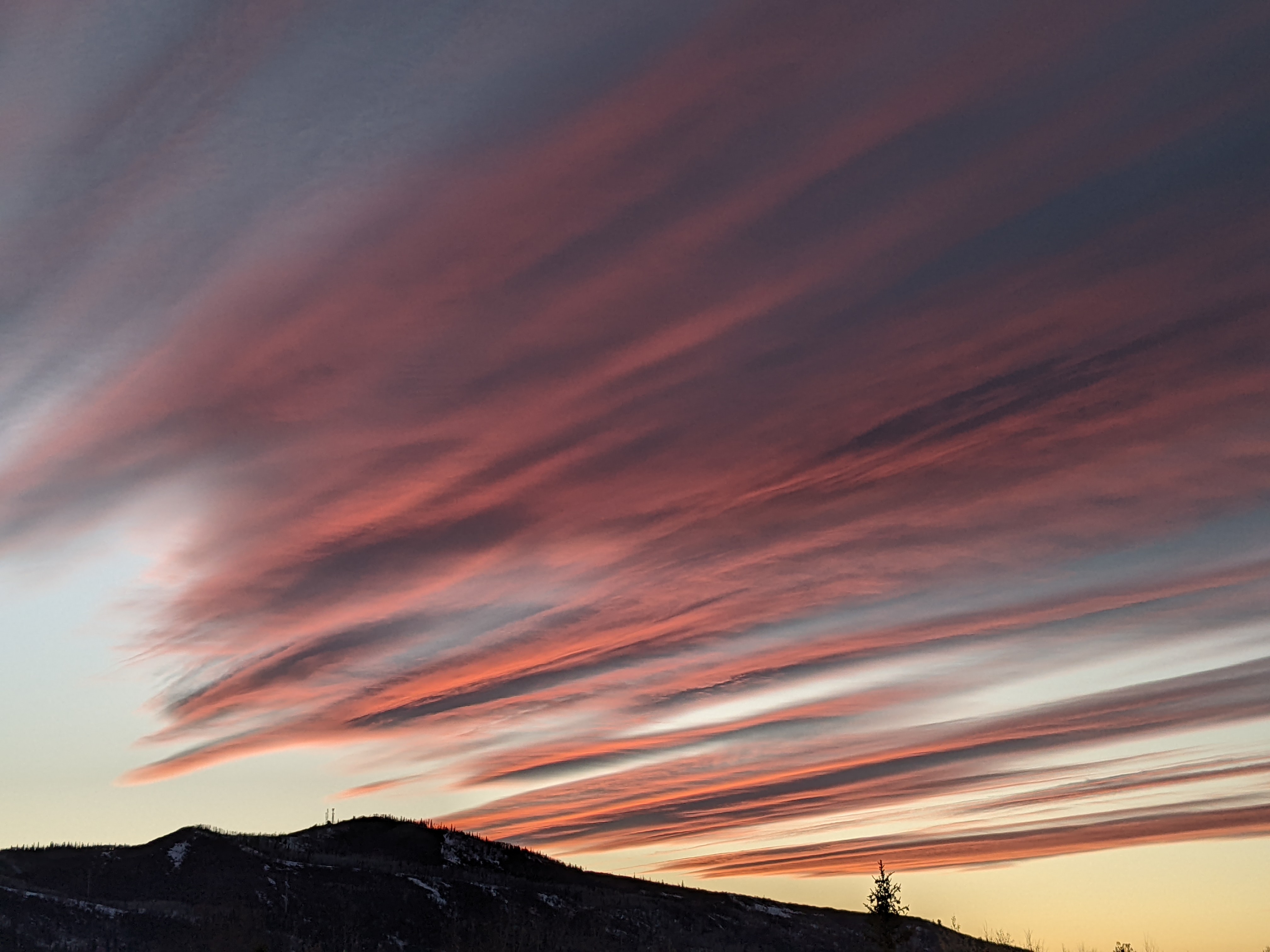
Snows likely Wednesday followed by unsettled weather through the weekend
Sunday, March 31, 2019
Bluebird skies with seasonably cool temperatures are gracing the Steamboat Springs area this Sunday morning as a storm moves to our south and affects southern Colorado and northern New Mexico. Three relatively warm Pacific storms will bring chances for precipitation to our area through next weekend, with the coldest and strongest storm expected on Wednesday.
But first, the storm I discussed in the last forecast will end up south of our area, allowing for plenty of sun today with only the slightest chance of an insignificant afternoon shower at the highest elevations along the Continental Divide. Clouds currently to our south mark the northern boundary of the storm.
A weak disturbance passes north of our area early Monday morning, but only some clouds are expected through the day as temperatures approach our average high of 47 F.
Meanwhile, a Pacific storm traveling under a ridge of high pressure over Alaska will mix only slightly with some cool air from western Canada, as the ever-increasing sun angle this time of year makes cold air increasingly hard to come by at our latitude.
While this storm is expected to cross our area around Wednesday, warm southwest flow ahead of the storm will first bring increasing clouds during Tuesday with showers expected to follow by later in the day and through the overnight. These may be a rain or rain-snow mix in the Yampa Valley as weather forecast models disagree on temperatures, but precipitation would likely be a dense snow above 9000′ or so. However, these showers are difficult to forecast as coverage may be spotty.
Showers will pick up and snow levels lower on Wednesday as the storm passes before ending by around midnight. Snow amounts are again tough to forecast due to weather forecast model disagreement, with some predicting 3-6” and other closer to 5-10”, with the higher amounts at higher elevations.
A short break in the weather is timed for early Thursday as a transient ridge of high pressure briefly builds over our area before clouds and eventually showers appear ahead of the next warmer Pacific storm. This one looks to be weakly organized, chaotic and prone to splitting as it crosses the Great Basin leaving unsettled weather with a chance of showers for later in the day Thursday and Friday.
Another break in the weather is advertised for around Saturday behind what is left of the departing storm and the next approaching Pacific storm. This looks to be very similar to the storm immediately preceding it, albeit even weaker, and we may see some showers later Saturday into early Sunday as pieces of this storm move by.
The start of Closing Week for the Steamboat Ski Area looks to be seasonably warm and dry as a transient ridge of high pressure is advertised to travel over our area.
Save your soles! You suspect that the grating and grinding sounds you hear from your ski boots as you walk across hard surfaces can’t be good. In fact, worn boot soles make your binding unsafe as it interferes with the boot-binding interface. Cat Tracks are a flexible protector that keeps your boot soles pristine, and adds a cushion for walking comfort. When it’s time to click into bindings, I take them off and stash them in my coat pocket. Yaktrax
are similar, but I have not used them since they appear they would take up a bit more space in my jacket pocket. But you get a rocker sole that promotes a natural stride which may be worth the space sacrifice. If I did not have to carry them around all day, these would be my choice.


