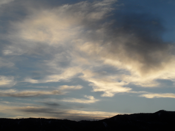
Mostly sunny and warm follows weak storm today
Sunday, March 24, 2019
A weak and becoming weaker storm currently just to our west will cross the Steamboat Springs area this afternoon. Snow on the hill and mixed rain-snow in the valley will last through the evening before skies clear on Monday and temperatures warm to well above average by midweek, along with plenty of sun. Another end-of-workweek storm will bring a round of unsettled weather that now looks to end by the following weekend.
Currently, the storm to our west is weakening as the southern end of the storm to our south advances faster than the northern end of the storm to our north. This has slowed the progression of weather into our area, with showers not beginning till the afternoon. Furthermore, the split storm will bring less snow to the hill than I originally thought, with only 1-4” expected for the Monday morning mid-mountain ski report, with most of that falling before midnight.
Clouds and possibly light showers may linger in northwest flow Monday morning as the northern end of the storm passes, but skies should clear and temperature warm during the day as a building ridge of high pressure moves over the western states.
Tuesday and Wednesday look to be the warmest days of the week as lots of sun and a warm airmass allow high temperatures in the valley to reach the mid-fifties or higher, which is at least ten degrees above our average of 45 F.
Meanwhile, a strong Pacific storm currently off the West Coast is forecast to loiter south of the Gulf of Alaska for a few days as a ridge of high pressure builds to its north. Waves of Pacific energy traveling over the ridge and down its eastern side are forecast to push some cold air from western Canada into the storm, eventually forcing it eastward.
However, there is substantial weather forecast model disagreement on how far the ridge of high pressure over the Gulf bulges eastward, and this affects the eventual track and strength of storm and how cold it will be.
Right now, it appears that most of the storm will cross the northern California coast around Wednesday, bringing heavy snowfall to the northern Sierras and most of the Cascades. The storm will move piecemeal across the Great Basin Thursday through Saturday, and we’ll see warm southwest flow increasing on Wednesday and early Thursday ahead of the storm.
Showers are advertised to start as early as Thursday afternoon as moisture and energy move over our area during the day. Though they may start as rain showers at the lower elevations, cold air associated with the storm will lower snow levels to the Yampa Valley floor overnight and into Friday. Though I expect changes in the forecasts, current guidance points toward 6-12” of snow at mid-mountain between Thursday night and Friday afternoon.
Earlier weather forecast models indicated a slow moving storm that would affect us though the following weekend, but current guidance has our snow ending by Friday night as the western part of the storm still over the Great Basin receives an influx of cold air from western Canada, forcing it southward into the Desert Southwest. If this happens, a seasonably cool and dry Saturday will be followed by a chilly Sunday morning that quickly warms under an increasingly strong springtime sun.
Stop battling cold feet! I’ve used the awesome Hotronic foot warmers from their beginnings, and can honestly say that each iteration of the product is better than the last. I have the S4 custom, attached to my powerstrap so they never fall off, and my toes stay warm for my entire ski day.
Add comment
Fill out the form below to add your own comments


