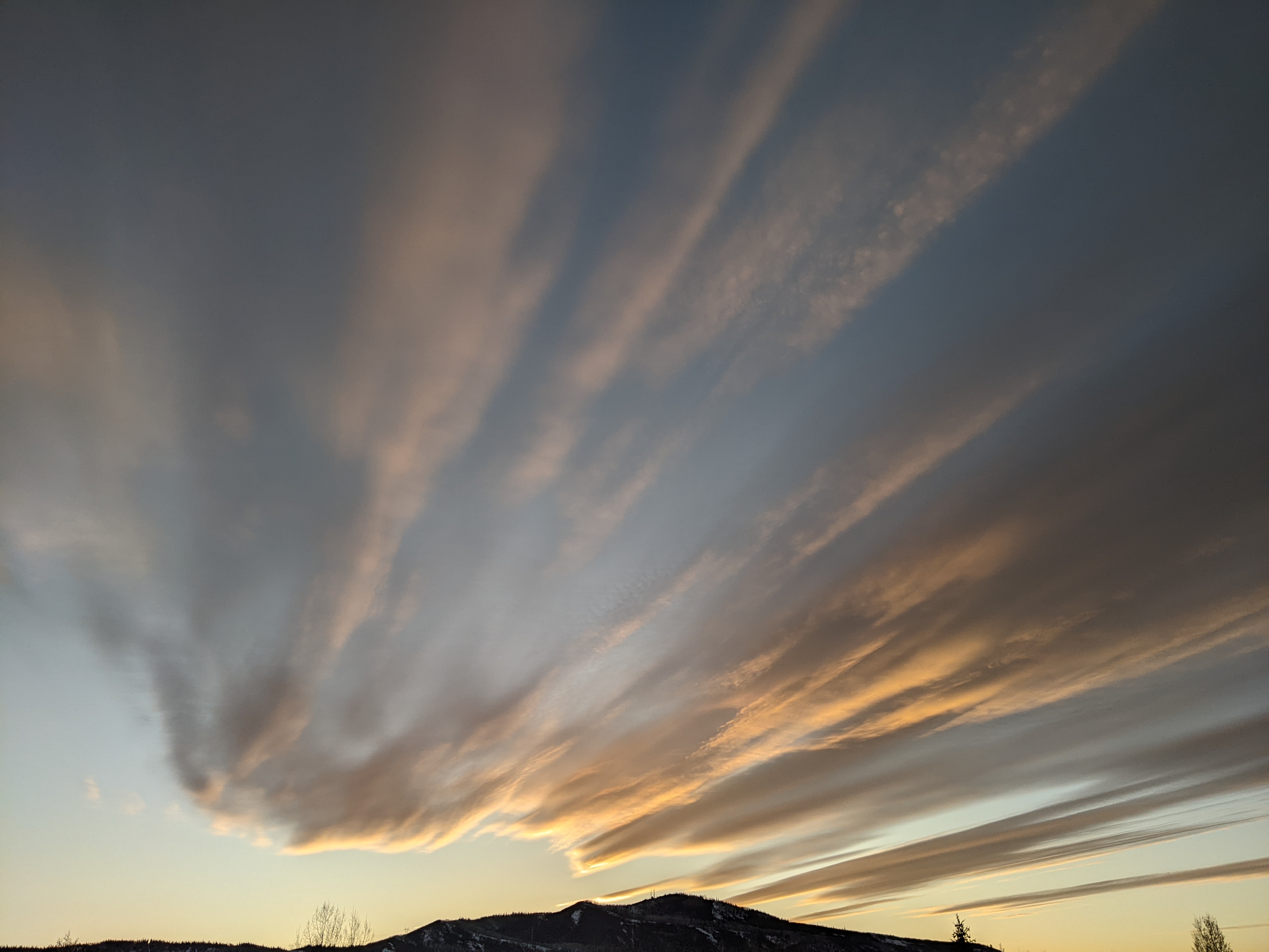
Moderating temperatures ahead of snow Saturday night and Monday
Thursday, February 7, 2019
After the powdercam showed 15” of snow in the last 2 days at the Steamboat Ski Area, a frigid arctic air mass has settled over much of the West. Low temperatures this morning were 0 F at the Steamboat Springs airport and -14 F at the top of Mt. Werner, and after a cold start to Friday, temperatures will moderate heading into Winter Carnival Weekend. A small storm will bring a chance of snow around Saturday night with a better storm forecast for Monday. Seasonably cold temperature and dry weather will follow for most of the rest of the work week before more snow is forecast by the following weekend.
As the current storm departs to the east, another strong and bitterly cold storm moving south along the British Columbia coast will dislodge a weaker storm off the West Coast that had earlier passed through a ridge of high pressure over the Gulf of Alaska. After another bone-chilling night tonight, the sun should return on Friday as the upper level flow turns to the southwest ahead of the small storm and brings warmer and drier air over our region. Temperatures will be slow to recover on Friday after such a cold day today, but will be noticeably warmer at higher elevations.
More warming is expected on Saturday ahead of the small storm that should bring overnight snowfall of 1-4” for the Sunday morning ski report.
Meanwhile, more Pacific energy moves through the Gulf of Alaska ridge of high pressure and starts the strong and cold storm off the coast moving eastward across the Great Basin on Sunday. The storm is forecast to weaken on its eastward journey, but will still be of moderate strength when it passes through our area sometime around Monday morning, though timing is currently uncertain. We should see a burst of snow as the cold front passes, with additional accumulations of light and fluffy snow behind the front in our favorable cold, moist and unstable northwest flow during the day Monday. I would guess 4-8” of snow will fall at mid-mountain by the time the storm ends by Monday evening.
Tuesday will start off unseasonably cold again behind the storm, with moderating temperatures and some sun expected as the week progresses, most noticeable at the higher elevations.
Rather than moving directly inland, like the past several storms, the upstream Pacific storm responsible for moving the Monday storm over our area is forecast to move southwestward and spend a day off the California Coast before moving eastward itself around midweek. This will allow the storm to mix with some moist subtropical air and direct clouds over our area near the end of the work week in southwesterly flow, possibly followed by another major snowstorm heading into the Washington’s Birthday weekend as the storm eventually moves through.
Start your ski day with toasty warm and dry boots! I use a boot dryer/warmer after every ski day, and the Happy Feet Dry-n-Warm boot dryer would be my choice if I ever had to replace my 30 year old and no-longer-manufactured look-alike. Just insert into your ski boots at the end of the day and leave them plugged in overnight. They become only slightly warmer than your body temperature so are safe to be plugged in for all footwear for days on end, though only overnight is needed for even the soggiest of liners. The ski boots are then thoroughly dry and toasty warm to start your next ski day!
Add comment
Fill out the form below to add your own comments


