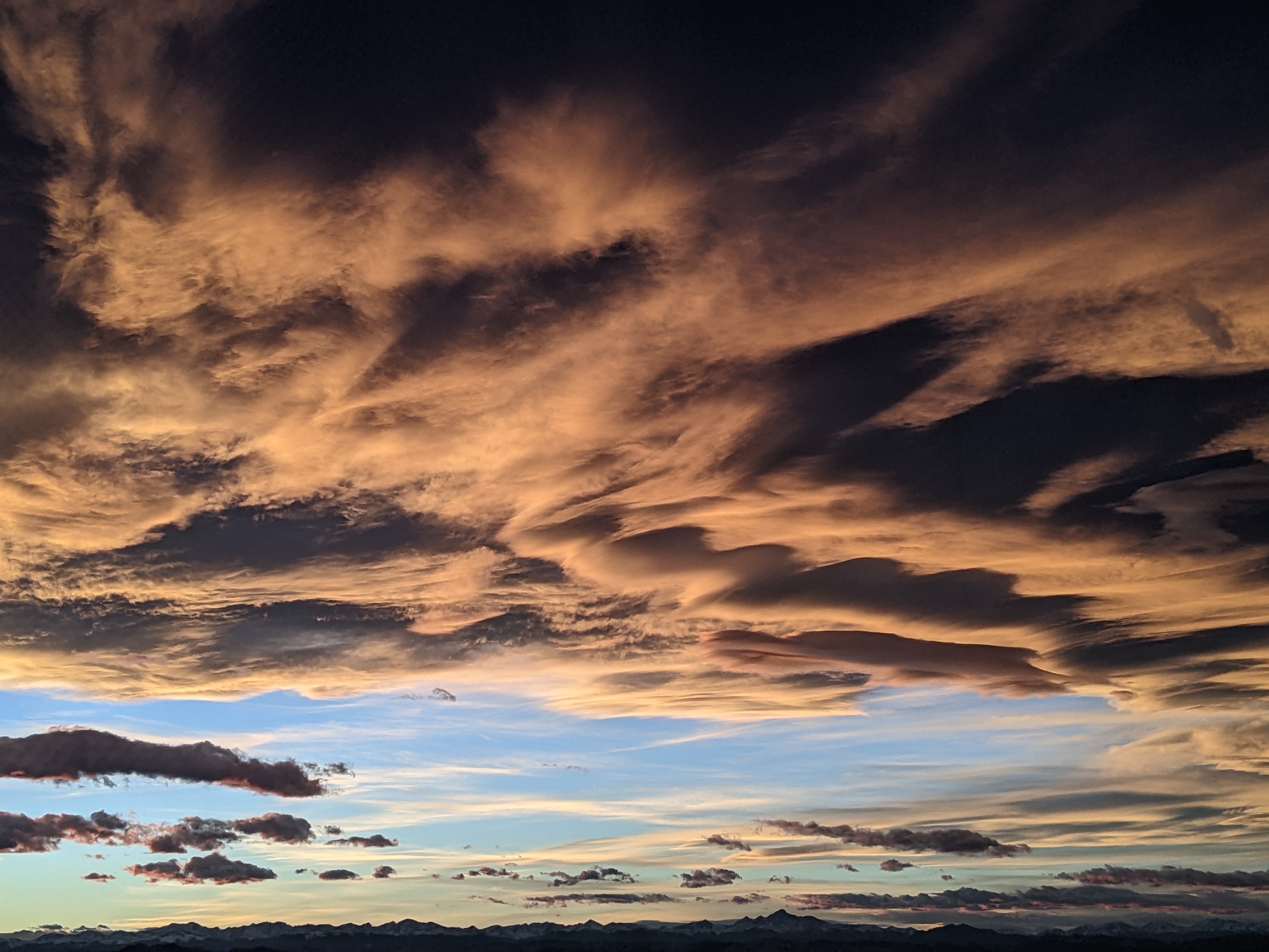
Mostly unsettled weather for the week ahead
Sunday, February 3, 2019
A cold front just blasted through the Steamboat Springs area around 11 am this Sunday morning with a band of heavy and wet snowfall. Unsettled weather with periods of mostly light but sometimes moderate snowfall are expected through Tuesday. An arctic front then passes through sometime on Wednesday and brings much colder temperatures preceded by and accompanied with periods of moderate to heavy snowfall that will taper off on a cold Thursday. A break in the weather follows for the end of the work week and the first half of Winter Carnival Weekend before snow chances return for the second half of the weekend and headed into the following work week.
Pacific storms have been riding over the top of a ridge of high pressure in the Gulf of Alaska and mixing with some frigid air over western and central Canada before they move southward along the West Coast. One of these storms currently off the West Coast has pounded the Sierras with 28” of snow recorded so far at Kirkwood, with lots more expected, and energy ejecting out ahead of this storm brought the Steamboat Springs snowfall this morning. Periods of sun behind the front should give way to afternoon and evening snow showers.
Meanwhile, another colder and stronger Pacific storm is currently moving southward along the British Columbia coast and will force the first storm to move piecemeal across the Great Basin Monday and Tuesday in southwest flow. Generally light snowfall is expected through Tuesday with some enhancement expected when these hard to time pieces of the first storm move through, with better snowfall currently expected around Monday night or early Tuesday.
I would expect 2-5” of snow to be reported both Monday and Tuesday mornings before the very cold second storm is forced westward into the Great Basin by a third Pacific storm following the same track as the first two. A somewhat stationary front separating the frigid air to our north from the warm and humid air to our south is forecast to form near our area from Tuesday night into Wednesday. Energy ejecting out of the advancing second storm along the stationary front may bring periods of moderate to heavy snowfall to our area through Wednesday as the arctic front eventually moves through later Wednesday.
I fully expect the details to change as this complicated storm scenario unfolds, but we could see 3-6” of snow by Wednesday morning with another 3-6” during the day. Snows will become increasingly light and fluffy when the arctic front moves through, with another 3-6” of snow possible overnight leading to 6-12” on a quite cold Thursday morning report.
Snows will taper off by noon on Thursday as the upper level flow finally turns to our favorable northwest direction, and we may see some Steamboat Magic in the cold and unstable flow that will leave another 1-4” of morning snowfall.
If skies clear Thursday night, Friday morning in the Yampa Valley will be well below our average low of 4 F but the sun should return for both Friday and Saturday in the warmer and dry southwest flow ahead of the third storm.
Though differences in timing need to be sorted out between the weather forecast models, it appears that a piece of energy ejecting out of the third storm may bring snowfall chances back to our area around the second half of Winter Carnival Weekend. The storm track is currently forecast to remain the same for the following week allowing our stormy weather pattern to continue.
Save your soles! You suspect that the grating and grinding sounds you hear from your ski boots as you walk across hard surfaces can’t be good. In fact, worn boot soles make your binding unsafe as it interferes with the boot-binding interface. Cat Tracks are a flexible protector that keeps your boot soles pristine, and adds a cushion for walking comfort. When it’s time to click into bindings, I take them off and stash them in my coat pocket. Yaktrax
are similar, but I have not used them since they appear they would take up a bit more space in my jacket pocket. But you get a rocker sole that promotes a natural stride which may be worth the space sacrifice. If I did not have to carry them around all day, these would be my choice.
Add comment
Fill out the form below to add your own comments


