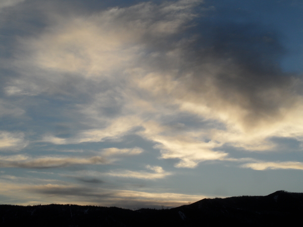
Cold and clear follows light snow for Monday
Sunday, January 27, 2019
After nearly 2 feet of snow was reported in the past 3 days at mid-mountain at the Steamboat Ski Area, and more up top, a small storm brings light snow to the Steamboat Springs area starting tonight followed by the return of sunny but cold conditions for the first part of the work week. Milder conditions are forecast for the rest of the work week before a series of storms are advertised to start around next weekend.
The current weather of North America is still dominated by a ridge of high pressure off the West Coast and a persistent and deep vortex of very cold air centered over Hudson Bay. For the rest of this Sunday, snow showers are forecast to redevelop this afternoon with some light accumulations of up to an inch or two possible.
A small and relatively dry storm will travel down the east side of the ridge of high pressure and mix with some very cold air from western Canada before affecting the Steamboat Springs area after midnight tonight. Weather forecast models are predicting banded snowfall which makes a forecast difficult since there may be localized moderate snowfall for a time, but I would expect 1-4” by Monday afternoon, along with some Steamboat Magic during the morning hours where the snowfall rates periodically increase.
The cold air pours in during the day, and if skies clear Monday night, we are looking at well below zero temperatures in the Yampa Valley for Tuesday morning. The sun will return though, for a beautiful, cold and crisp winter day.
Another wave of very dry but frigid air will graze our area as it descends over the Midwest and eventually the East starting on Tuesday night, leading to more sub-zero mornings on Wednesday and possibly Thursday, even as the higher elevations warm. But big changes are advertised in the global weather pattern by the end of the work week as the persistent Hudson Bay vortex is forecast to finally move east. Perhaps coincidentally, but likely not, the West Coast ridge also breaks down around this time and allows Pacific energy and moisture to penetrate inland around next weekend.
Timing is uncertain, but it looks like two storms are possible, one around next weekend and another early in the following work week. Furthermore, quite cold air is a possibility sometime after next weekend as the removal of the Hudson Bay anchor allows cold air from the northern latitudes to spread further westward across parts of North America. More details should emerge by my next weather narrative to be published on Thursday afternoon.
Stop battling cold feet! I’ve used the awesome Hotronic foot warmers from their beginnings, and can honestly say that each iteration of the product is better than the last. I have the S4 custom, attached to my powerstrap so they never fall off, and my toes stay warm for my entire ski day.
Add comment
Fill out the form below to add your own comments


