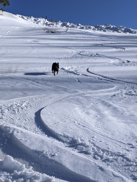
Accumulating snows continue through Friday night
Thursday, January 24, 2019
After 9” of snow was reported at both mid-mountain and the top of the Steamboat Ski Area this Thursday morning, accumulating snows look to continue through Friday night as waves of moisture and energy move over our area in brisk northwest flow. We will see a break in the accumulating snows starting Saturday morning and continuing for the rest of the weekend, though some snow showers cannot be ruled out, before snowfall chances increase again on Monday.
Steamboat Springs is currently sandwiched between a large and very cold trough of low pressure covering the eastern two thirds of North America and a ridge of high pressure off the West Coast. The end result is brisk northwest flow that contains waves of Pacific energy and moisture that mix with the very cold air centered near Hudson Bay. As this air is forced to rise as it flows over the Park Range (orographics - or terrain-driven lift, or upslope), the moisture condenses and freezes, forming snowflakes.
The orographic forcing has been and will be augmented by rising motion forced by the Pacific energy, an unstable atmosphere caused by the cold air aloft, and favorable mountain-top temperatures between about 5 F and 14 F. That temperature range encourages the formation of the classic snowflake called a dendrite that contributes to low-density, fluffy snowfall thanks to its space-taking design.
This very favorable setup will bring another 3-6” of snowfall to our area tonight, and with the snow we received this morning, I would expect another 5-10” report by Friday morning.
We may see snow showers, or at least clouds on Friday ahead of another wave that will bring a round of lighter snowfall on Friday night, leaving 2-5” for the Saturday morning report.
Accumulating snows should end Saturday morning, though we may see periodic showers through the weekend as the ridge of high pressure over off the West Coast bulges inland.
Another Pacific wave is expected to round the ridge of high pressure and mix with some frigid air from the North Pole before reaching our area on Monday. There is weather model uncertainty with respect to the track of the storm, with models trending further east and sparing our area from the coldest air, but also reducing snowfall accumulations. So a snowfall forecast will have to wait until my Sunday weather narrative as I expect further forecast changes before then.
The sun is currently advertised to return for Tuesday and Wednesday as some dry air moves over our area in still northwest flow. Forecast uncertainty is high for the end of the work week as incoming Pacific energy battles the ridge of high pressure off the West Coast. At one point, it looked like Pacific energy and moisture would penetrate the ridge and move inland, but now only a small piece of energy looks to ride over the top of the ridge and bring a moderate storm to our area around Thursday.
Start your ski day with toasty warm and dry boots! I use a boot dryer/warmer after every ski day, and the Happy Feet Dry-n-Warm boot dryer would be my choice if I ever had to replace my 30 year old and no-longer-manufactured look-alike. Just insert into your ski boots at the end of the day and leave them plugged in overnight. They become only slightly warmer than your body temperature so are safe to be plugged in for all footwear for days on end, though only overnight is needed for even the soggiest of liners. The ski boots are then thoroughly dry and toasty warm to start your next ski day!


