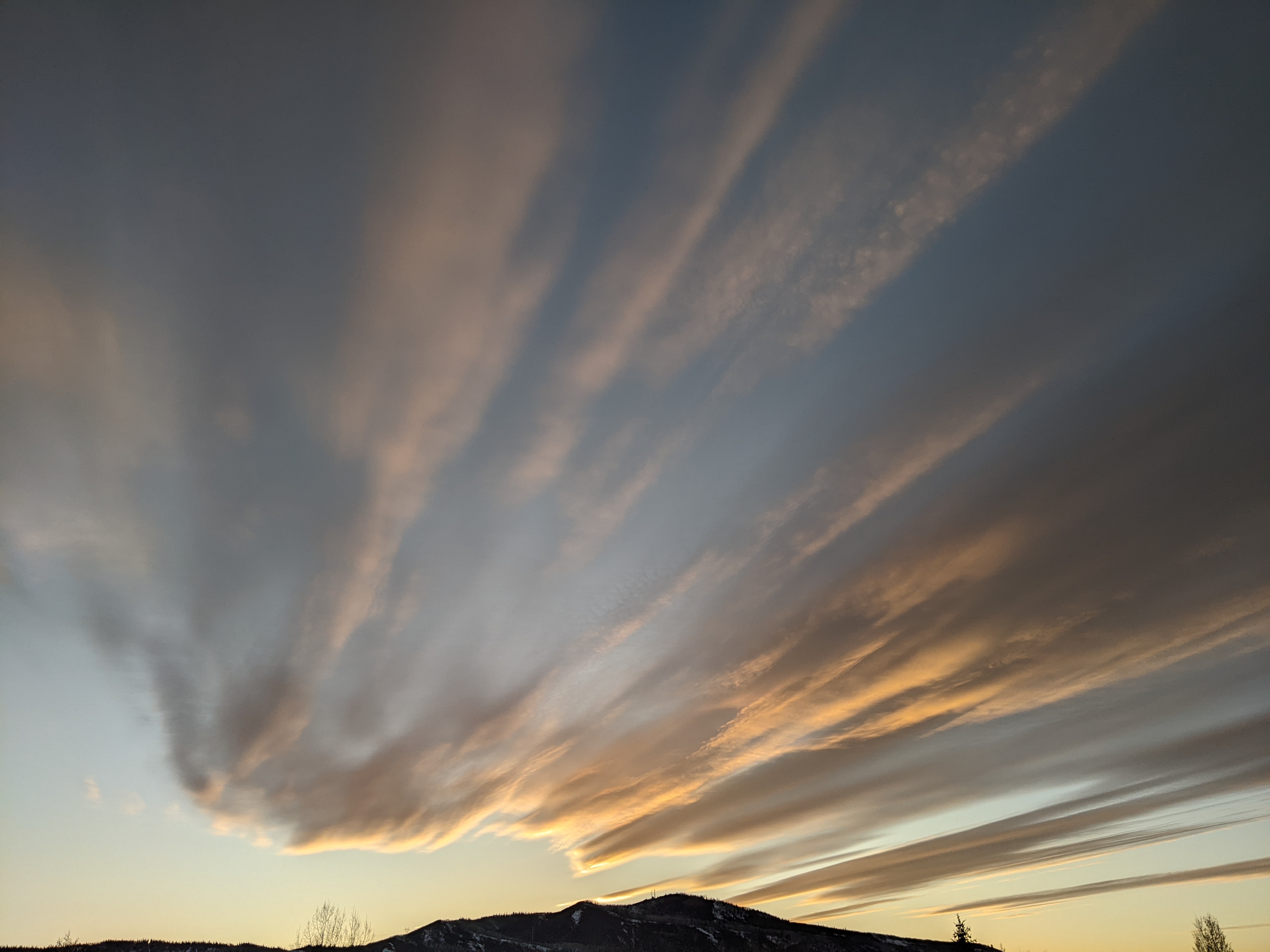
Significant end of workweek storm possible
Sunday, January 13, 2019
The Steamboat Springs area is enjoying a beautiful crisp winter morning this Sunday as a decaying storm drifts eastward across our southern border. The weather will turn unsettled by midweek with a significant storm looking more and more likely for the end of the work week.
After a cool start this Sunday due to a strong temperature inversion in the Yampa Valley, temperatures will have a hard time reaching our average high of 27 F today. Under the clear skies forecast for tonight, Monday will again start out chilly as the temperature inversion persists, with low temperatures below our average low of 3 F and high temperatures once again struggling to reach our average.
Meanwhile a Pacific storm approaches the West Coast later Monday with most of the energy forecast to be shunted to our northwest as it battles a ridge of high pressure over the northern Rockies. However, some moisture and energy do make it far enough inland to bring increasing clouds to our area around midday Tuesday. Light snow showers are advertised from about Tuesday evening through Wednesday, with 1-4” inches expected by Wednesday morning and another 1-4” falling during the day for the Thursday morning report. While I don’t expect to see 8” over the two days, the uncertain start and end of this small storm makes timing the amounts difficult.
Another colder and much stronger Pacific Storm crosses the West Coast midweek, and we may see some brief ridging ahead of that storm on Thursday before significant energy and moisture begin moving over our area in the afternoon or evening in favorable northwest flow.
If the current forecast holds, moderate to heavy snows are likely from Thursday night through Friday as two waves of energy and moisture pass over our area, with lighter snows continuing into Saturday behind the strongest part of the storm. Snowfall is likely to be at least 6-12” from Thursday night through early Saturday, with as much as twice that possible.
A ridge of high pressure is then forecast to build over the West behind the departing storm and ahead of another strong Pacific storm. This one is forecast to cross the Pacific Northwest Coast mid-weekend and mix with some very cold air from western Canada as it approaches our area, bringing the possibility of more significant snowfall early in the next work week.
Stop battling cold feet! I’ve used the awesome Hotronic foot warmers from their beginnings, and can honestly say that each iteration of the product is better than the last. I have the S4 custom, attached to my powerstrap so they never fall off, and my toes stay warm for my entire ski day.
I also use a boot dryer/warmer after every ski day, and the Happy Feet Dry-n-Warm boot dryer would be my choice if I ever had to replace my 30 year old and no-longer-manufactured look-alike. Just insert into your ski boots at the end of the day and leave them plugged in overnight. They become only slightly warmer than your body temperature so are safe to be plugged in for all footwear for days on end, though only overnight is needed for even the soggiest of liners. The ski boots are then thoroughly dry and toasty warm to start your next ski day!


