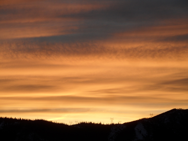
Modest New Years Eve Day storm followed by arctic air
Sunday, December 30, 2018
The Steamboat Springs area has warmed considerably this Sunday ahead of our next storm which starts later today, with high temperatures getting back around our average high of 26 F. Enjoy the relatively warm temperatures today since the coldest weather of the season so far is on our doorstep.
The modest storm for our area is currently moving through the Pacific Northwest and will split as it moves eastward. The southern piece digs into the Great Basin tonight with the remainder of the storm moving eastward across the northern states. The split storm means more snow north and south of us, but less snow for north-central Colorado than I originally hoped for in last Thursday’s forecast.
We’ll see two cold fronts move through our area with the storm; the first this evening with light snows starting later this afternoon and turning heavier this evening as the front passes. Snows will diminish for a time before they pick up again during the day Monday when a very cold arctic front with air originally sourced from the North Pole passes through our area.
Not only does the splitting storm keep the best energy away from our area, but limits any favorable northwest flow; in fact winds may be from the east for a time on Monday which is often unfavorable for significant snowfall. We may see 2-5” of snow at mid-mountain by the Monday morning report, with another 1-4” during the day along with plunging temperatures.
New Years Eve is forecast to be frigid with low temperatures fifteen to twenty-five degrees below our average of 3 F. Snow showers may continue on the hill overnight with no additional accumulations expected.
New Years Day and most of Wednesday will stay frigid, though they may feel warmer as we should see the sun during the day in advance of a ridge of high pressure that is forecast to move over the western states for the end of the work week and heading into the weekend. Notable higher-elevation warming will occur starting later Wednesday, though the Yampa Valley will stay chilly as a temperature inversion, where air is coldest at low elevations, forms thanks to fresh snow cover and clear nights.
There is hope for significant snows starting near the end of next weekend or the beginning of the next work week as a warmer and much wetter storm may approach from the southwest.
Save your soles! You suspect that the grating and grinding sounds you hear from your ski boots as you walk across hard surfaces can’t be good. In fact, worn boot soles make your binding unsafe as it interferes with the boot-binding interface. Cat Tracks are a flexible protector that keeps your boot soles pristine, and adds a cushion for walking comfort. When it’s time to click into bindings, I take them off and stash them in my coat pocket. Yaktrax
are similar, but I have not used them since they appear they would take up a bit more space in my jacket pocket. But you get a rocker sole that promotes a natural stride which may be worth the space sacrifice. If I did not have to carry them around all day, these would be my choice.
Add comment
Fill out the form below to add your own comments


