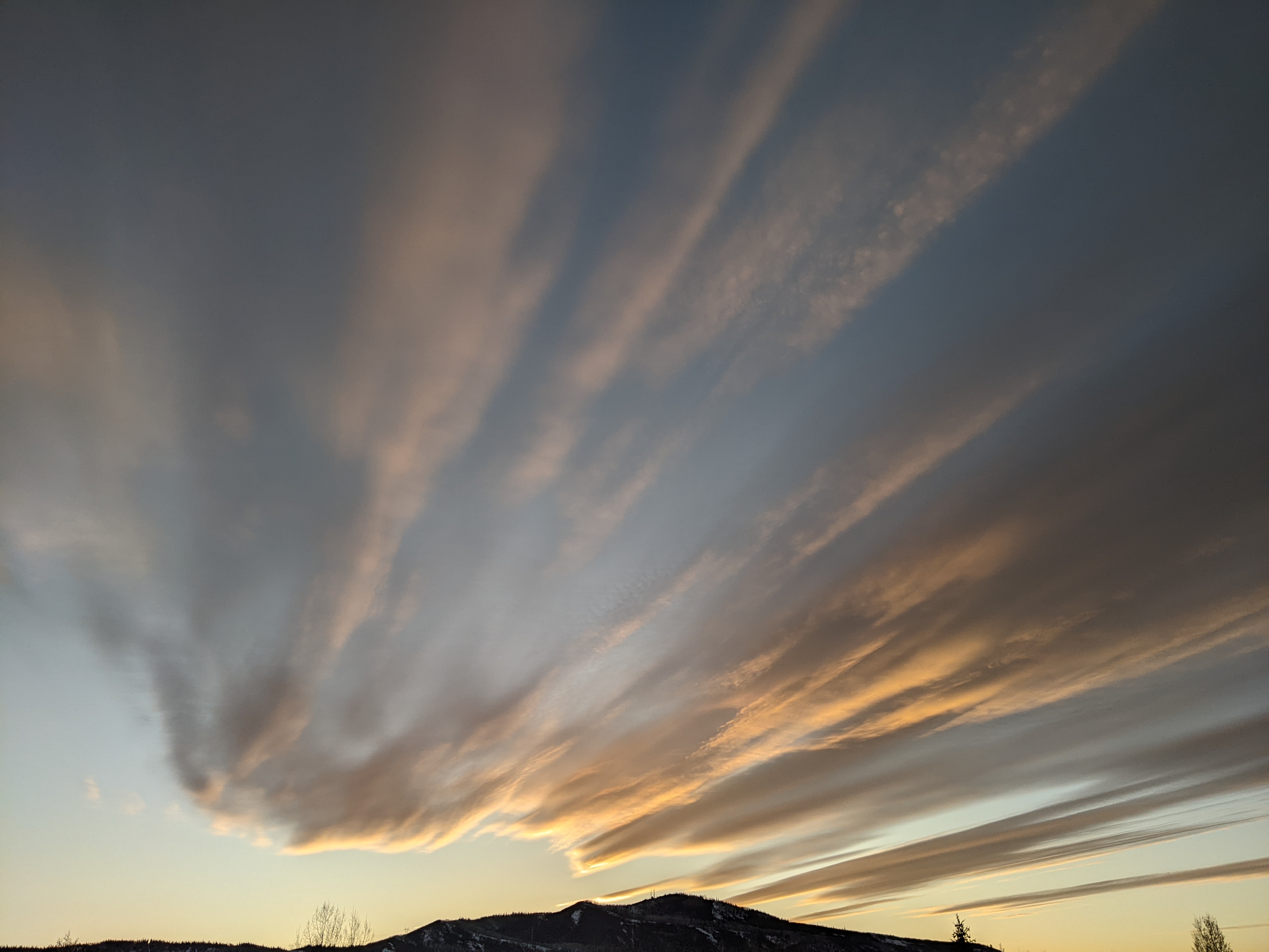
Snows continue this week
Sunday, December 23, 2018
The Steamboat Springs area is currently enjoying a cold and sunny morning behind yesterday’s storm. Weather highlights for the upcoming week include accumulating snows for Monday and likely Wednesday with very cold temperatures heading into and through part of New Year’s weekend.
For those lucky enough to be on the hill this past Saturday morning, temperatures dropped from 17 F at 5 am to 3 F at 11 am as a cold front moved through northern Colorado. Along with the rapidly falling temperatures, a convective cell, similar to a summertime thunderstorm, passed directly overhead around 9 am; 3.5” of snow accumulated at the top of Sunshine Peak between 8:44 am and 9:24 am, which equates to a 5” per hour snowfall rate! Accumulations were maximized by ideal temperatures in the 5 F to 12 F range which promotes the production of fluffy and low-density snowflakes that form the classic and well known branched snowflake called a dendrite. The end result of this Steamboat Magic was almost a foot on the Powdercam by noon and 15” in the favored locations.
Our next storm is currently pounding the Pacific Northwest and northern California, with the currently sunny skies giving way to clouds and then light snow showers by midnight. Ahead of a cool front that is forecast to pass through Colorado in the morning, we should see 1-4” by the Monday morning report. More Steamboat Magic may be in store for Monday morning when the front passes followed by snows becoming more showery by the afternoon as they taper off. There could be another 3-6” during the day that would be reported Tuesday morning.
The Christmas Day storm is now forecast to be slower, and only briefly forms a closed circulation over Arizona cutoff from the main jet stream on Tuesday. Snowfall will be only light, or even non-existent during the day Tuesday ahead of the storm, but heavier snows are expected by Tuesday night or early Wednesday as we’ll see more upward forcing as the storm moves over the Colorado Rockies. Additionally, snowfall may be enhanced by upward motion in the northwest quadrant behind the storm as low-level air from the eastern plains is lifted over the cold front and wraps around the storm. While significant accumulations are possible from late Tuesday night through Wednesday, the storm track and its evolution are still uncertain, and small changes can result in big snowfall differences. We could see a 6-12” from Tuesday night through Wednesday under the more favorable solutions.
In any event, a short break in the active weather is currently advertised for Thursday before another Gulf of Alaska storm mixes with some frigid air originally sourced from Siberia and the North Pole. The storm will take up residence in the Great Basin area starting Friday, bringing light snow and very cold temperatures well below our 27 F average high temperature for Friday and Saturday.
Another storm is then forecast to approach the West Coast mid-weekend, though weather forecast models disagree on the track leading to a very uncertain late-weekend forecast.
Stop battling cold feet! I’ve used the awesome Hotronic foot warmers from their beginnings, and can honestly say that each iteration of the product is better than the last. I have the S4 custom, attached to my powerstrap so they never fall off, and my toes stay warm for my entire ski day.
Add comment
Fill out the form below to add your own comments


