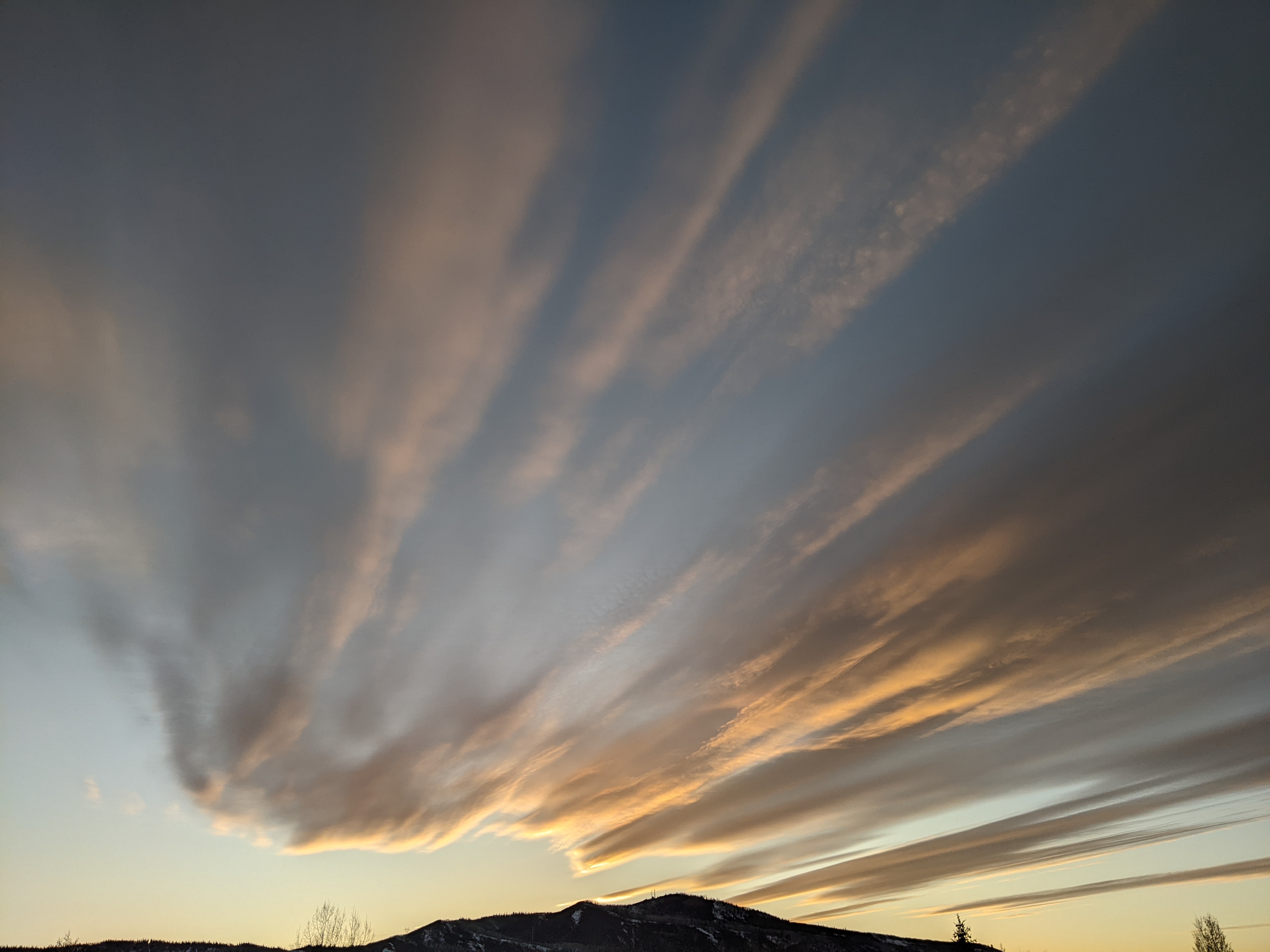
Active weather pattern resumes Friday
Thursday, December 20, 2018
Enjoy the sun on this brilliant Thursday as an active weather pattern will return to the Steamboat Springs area starting later Friday. Two waves of Pacific moisture and energy will bring good snow chances Friday night into Saturday and again later Sunday into Monday before a much larger and colder storm brings Christmas Day powder to most of Colorado.
The ridge of high pressure currently over the Great Basin bringing today’s sunny weather will quickly be pushed eastward overnight by a strong Pacific jet stream. Clouds will increase Friday ahead of the first wave of Pacific energy and moisture that should start snow showers by the afternoon or evening for northern Colorado.
Snows will turn heavier on Saturday, though whether that is before or after the morning ski report is uncertain as there are discrepancies between the weather forecast models in the fast west-northwest flow. Regardless of the exact timing, snows will taper off around the afternoon, with 3-6” expected by the end of the day.
A second wave of Pacific energy and moisture quickly follows and starts snow showers again by Sunday afternoon that continue through Monday. Timing of the best snowfall is again uncertain, but another 3-6” of snow seems likely by Monday afternoon before we may see a small break currently timed for Monday night.
Meanwhile, a much stronger and colder storm develops in the Gulf of Alaska on Monday and crosses the West Coast Monday night before forming a closed circulation that moves through the Great Basin on Christmas Day. Weather forecast models usually struggle with the movement and placement of these large storms cutoff from the main jet stream, and this one is no different. Adding complexity is another Gulf of Alaska storm that is forecast to cross the West Coast around midweek, and the timing and track of this storm will affect the Christmas Day storm.
According to the American GFS, snow showers start again early Christmas morning before turning heavier at times during the day and overnight as the storm moves over Colorado. Accumulating snows look to continue in the favorable cool, moist and unstable northwest flow around Wednesday once the storm eventually moves east of our area as well.
Snow amounts from Christmas Day through Thursday morning will be dependent upon the eventual track of the storm, but significant accumulations are possible. Travel will almost certainly be impacted on Christmas Day in the mountains and possibly Wednesday on the Front Range and eastern plains.
There may be a break in the weather around Thursday before we may see effects from the second Gulf of Alaska storm. As might be expected, there is a lot of uncertainty with the evolution of this storm which will affect our weather heading into the following New Year’s weekend.
Save your soles this holiday season! You suspect that the grating and grinding sounds you hear from your ski boots as you walk across hard surfaces can’t be good. In fact, worn boot soles make your binding unsafe as it interferes with the boot-binding interface. Cat Tracks are a flexible protector that keeps your boot soles pristine, and adds a cushion for walking comfort. When it’s time to click into bindings, I take them off and stash them in my coat pocket. Yaktrax
are similar, but I have not used them since they appear they would take up a bit more space in my jacket pocket. But you get a rocker sole that promotes a natural stride which may be worth the space sacrifice. If I did not have to carry them around all day, these would be my choice.


