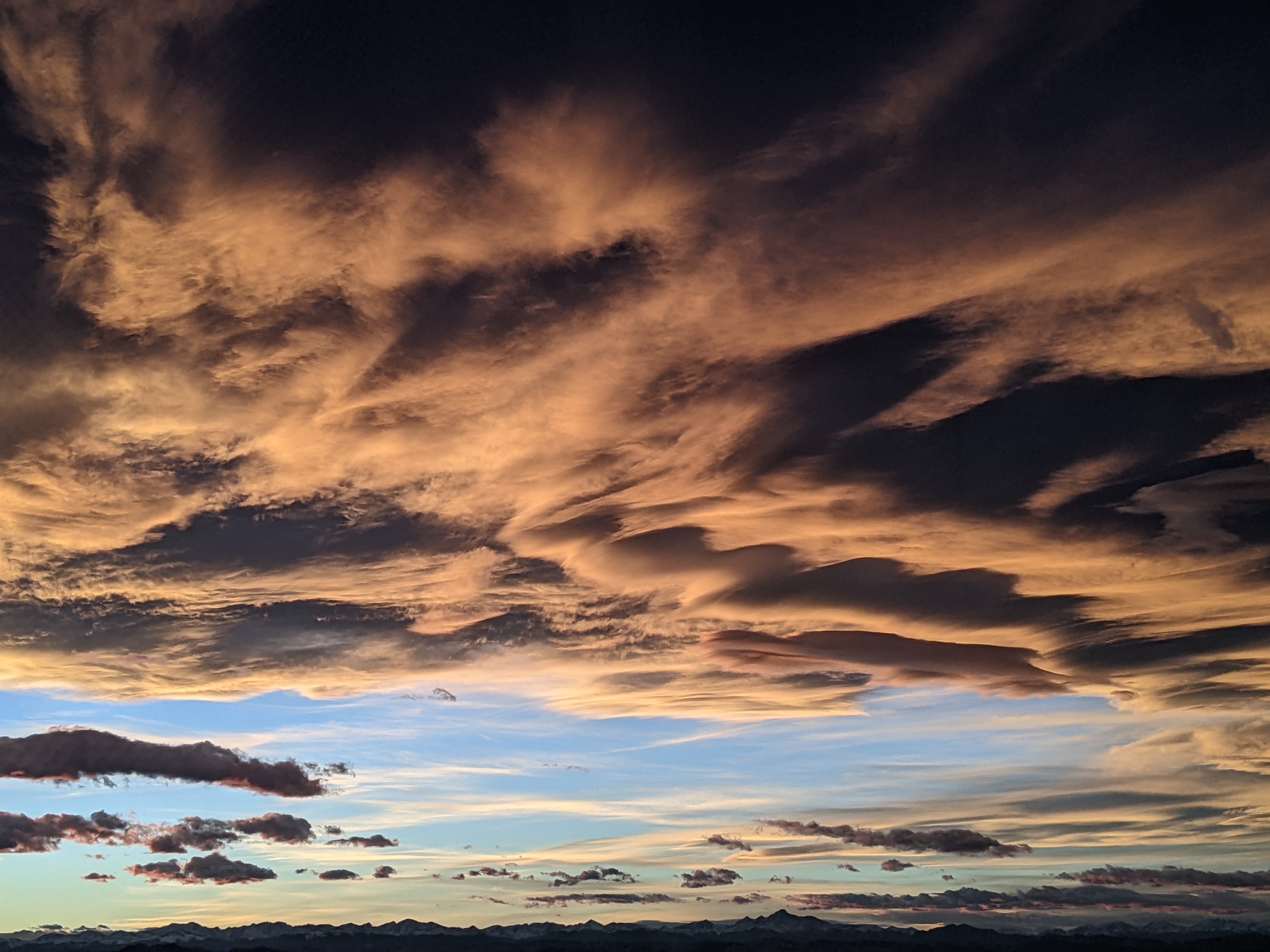
Cold fronts today and Sunday followed by warmer and drier weather
Thursday, November 8, 2018
A couple more cold fronts for this Thursday and Sunday will cross the Steamboat Springs area before significant warming and drying occurs during the upcoming work week.
Behind the first cold front today that is leaving several inches of snow at the Steamboat Ski area, the skies should clear and the sun will reappear for Friday and the first part of Saturday. The lack of clouds tonight and the cold airmass will make for a cold start to Friday morning with temperatures falling below our average low of 20 F. The ever-lowering sun angle will make it difficult for temperatures to recover to our average high of 46 F on Friday.
We’ll see another chilly morning Saturday, but we should be much closer to our average high as a warmer airmass briefly settles over our area, even as high clouds begin to ovespread northern Colorado ahead of the next cold front.
Timed for Veterans Day on Sunday, the cold front will contain some very cold western Canadian air, but limited moisture, so only several inches of snow are expected through the likely raw day.
A ridge of high pressure will build eastward starting early in the work week and is forecast to reside over the Rockies by midweek. Temperatures will be slow to recover on Monday in the cold airmass, but there should be some warming, especially at the higher elevations on Tuesday, and warming at all elevations, along with more sun, by Wednesday.
A cool front that is currently forecast to be quite weak may brush northern Colorado around Thursday, and briefly interrupt the pleasant and seasonable weather that looks to continue into the following weekend. Since the opening of the Steamboat Ski area follows that weekend, I’ll mention, with the usual uncertainty disclaimer, that long-range forecasts indicate another storm may approach the West Coast around the end of the weekend.


