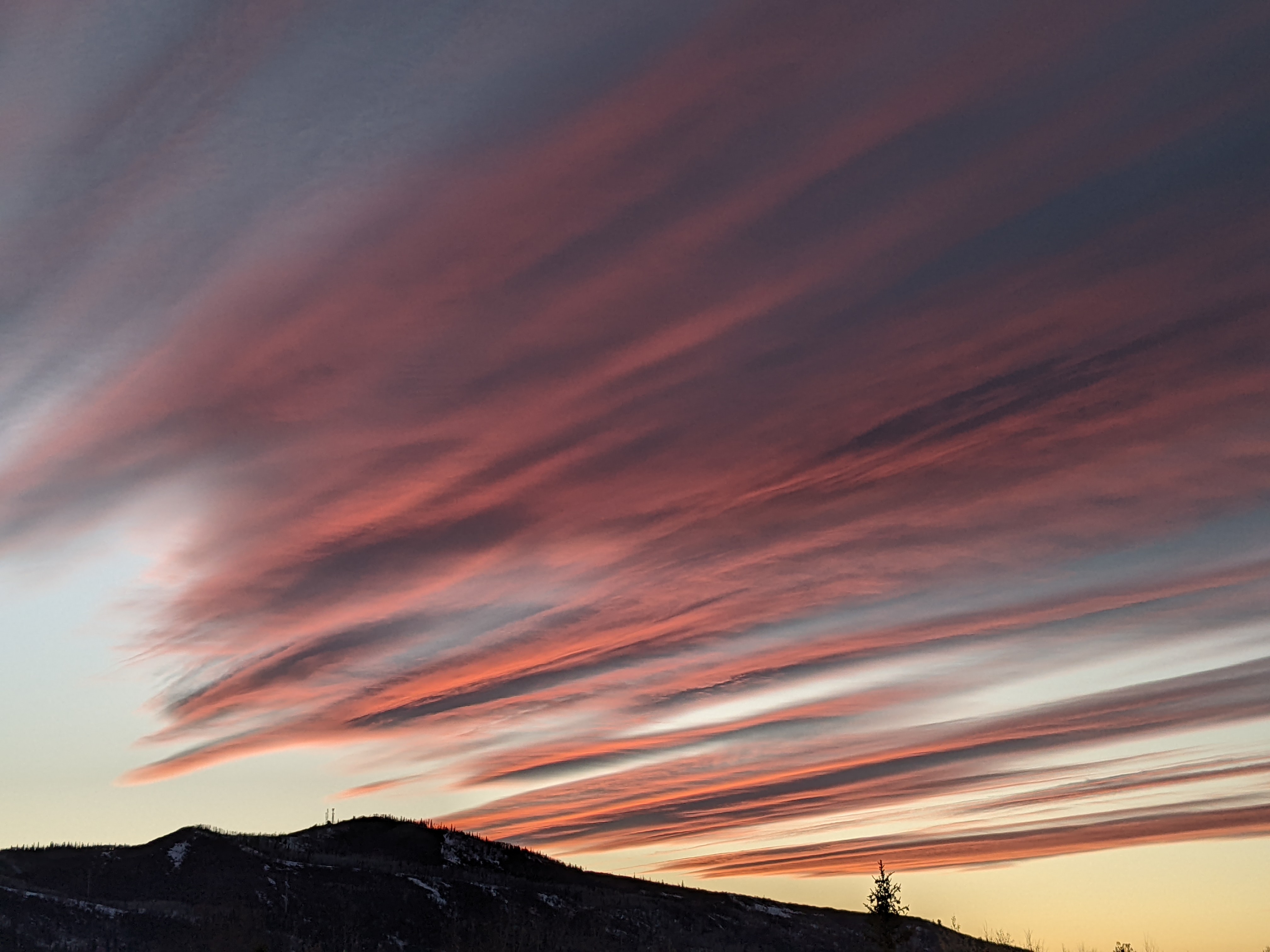
Quiet weather week ahead
Thursday, August 30, 2018
Other than a mostly dry cool front currently timed for early Saturday, not much weather is in the cards for Steamboat Springs this Labor Day weekend up until possibly mid week when substantial uncertainty appears in the weather forecast.
Our area is currently sandwiched between a broad area of cool air to our northwest and a warm ridge of high pressure to our southeast. For the rest of today and Friday, expect breezy southwest winds, passing clouds and temperatures above our 77 F average as the upper level flow is squeezed between the two weather systems on either side of us.
Some of the cool air to our northwest will translate eastward through the weekend, bringing a mostly dry cool front through Colorado on Saturday. The southwest flow ahead of this front will draw some monsoonal-like moisture northward, but activity will stay south of our area, and even there more wind than rain is expected.
Temperatures will cool to near average on Saturday and Sunday, with cool morning lows near our average of 40 F. Drier air may move in behind the front, so there may be more sun for Sunday and Monday, with temperatures warming to above average by Labor Day.
As early as Monday night, significant differences between the weather forecast models appear, with the European ECMWF carrying Pacific energy southward well off the California coast and bringing southwest flow and dry and warm weather to our area through midweek. The American GFS, conversely, brings some of that Pacific energy ashore and advertises a cold front passing through our area around Wednesday, along with a dose of showers. Stay tuned to my Sunday forecast as to how this plays out.


