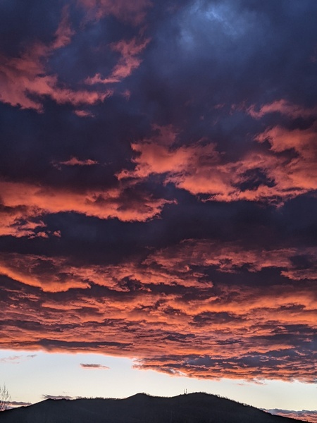
Increasing chances of rain for the weekend
Monday, June 11, 2018
The storm that brought a cool front through the Steamboat Springs area last night and pleasant near-normal temperatures this Monday is passing to our northeast, ahead of another storm forecast to cross the Pacific Northwest coast later Tuesday. This storm looks to eventually conspire with the remnants of hurricane Bud currently well south of Baja to bring a good chance of wetting rains for a part of the weekend.
Tuesday will be similar to today before winds turn to the southwest ahead of the Pacific Northwest storm. This storm is forecast to mix with some cool air from the North Pole by tomorrow and split as it makes landfall in the Pacific Northwest late Tuesday. Some of the storm will continue to the northeast, but a large part of the storm will be left behind in the northern Great Basin. The southwest winds ahead of the storm will again cause the hot and dry weather we experienced last week for Wednesday.
But there may be some modest moisture drawn northward form the Mexican Plateau for the end of the work week as the storm loiters in the northern Great Basin, and this would increase the chance of afternoon showers. Deeper moisture likely arrives around mid-weekend as current hurricane Bud moves northward through the work week. Note it is rather unusual to have a late spring storm that contains some cool air from the North Pole and tropical moisture from a hurricane.
As might be imagined, there is a fair bit of uncertainty with the timing of these pieces, but right now I would guess that we’ll see a twelve hour period that contains some good rains, probably around late Saturday or early Sunday , with afternoon showers increasing late in the work week and into the weekend as the remnants of hurricane Bud near.
The Great Basin storm is forecast to wobble in place through at least the early part of next week, and the unseasonably cold storm looks to continue the chance of at least afternoon showers through then.
At this point, it is not clear if the storm will remain strong enough to bring a cool front through our area around midweek, as it is battling the strong warming from a sun approaching the summer solstice on Thursday, June 21.
Dry and breezy cool front for later Sunday
Thursday, June 7, 2018
Not much change to the current beautiful weather conditions in Steamboat Springs is expected until later Sunday when a dry cool front associated with a grazing Pacific storm passes through our area. Daytime temperatures will remain above average under sunny skies through Saturday, and even become warmer ahead of the dry cool front currently timed for Sunday afternoon or evening.
Winds from the southwest will become gustier and increase on Sunday in advance of the front before turning to the west by Sunday night when the front passes Unfortunately, it will be quite dry and no rain is expected. While breezy conditions will continue on Monday, the cooler air behind the front will allow daytime temperatures to drop back towards average through midweek.
There appears to be some sort of tropical disturbance that is forecast to develop off the coast of Baja early in the work week, and this will conspire with the clockwise flow around a flat ridge of high pressure over the southwestern U.S to bring some moisture and likely meager precipitation chances northward over the Four Corner states starting around Wednesday, along with warming temperatures that will last through the rest of the work week.
There is uncertainty with respect to the the fate of this tropical disturbances and whether it interacts with another Pacific storm approaching the West Coast late in the work week. There is the possibility of wetting rains by around the following weekend or soon after if some of the current forecasts from the various weather prediction models verify.
Please note that I will write my next Sunday afternoon forecast on Monday as I will be traveling that day.
Dry and summery week ahead after a chance of showers this afternoon
Sunday, June 3, 2018
Other than some clouds and a chance of showers this afternoon and early evening, the weather over the Steamboat Springs area is forecast to be dry and summery for the coming work week. Some energy and moisture left behind from an earlier West Coast storm is currently moving over central Colorado and bringing some wetting rains to the very dry areas to our south.
The moisture may make it far enough north to bring some showers to our area later today before the small storm passes east of Colorado and ushers in some warm and dry summer-like weather for most of the remaining week.
On Monday, an approaching West Coast storm will decisively lose the battle with a building ridge of dry and warm high pressure over the central U.S. and end up barely grazing northern Colorado as it is shunted to our north, bringing breezier conditions during the day. There may be some slight cooling early Tuesday with a small chance of a shower along the higher terrain later that afternoon.
Otherwise, the weather looks meteorologically uninteresting, but sensibly spectacular through most of the upcoming week, with clear, cool nights and warm to hot sunny days.
There is some uncertainty for next weekend with respect to another West Coast storm that is forecast to eventually undergo the same fate as the early week storm; specifically, whether it will remain strong enough as it passes north of our area to re-introduce the chance of late-day showers around mid-weekend. At this time, it looks like they will be light and inconsequential at best.


