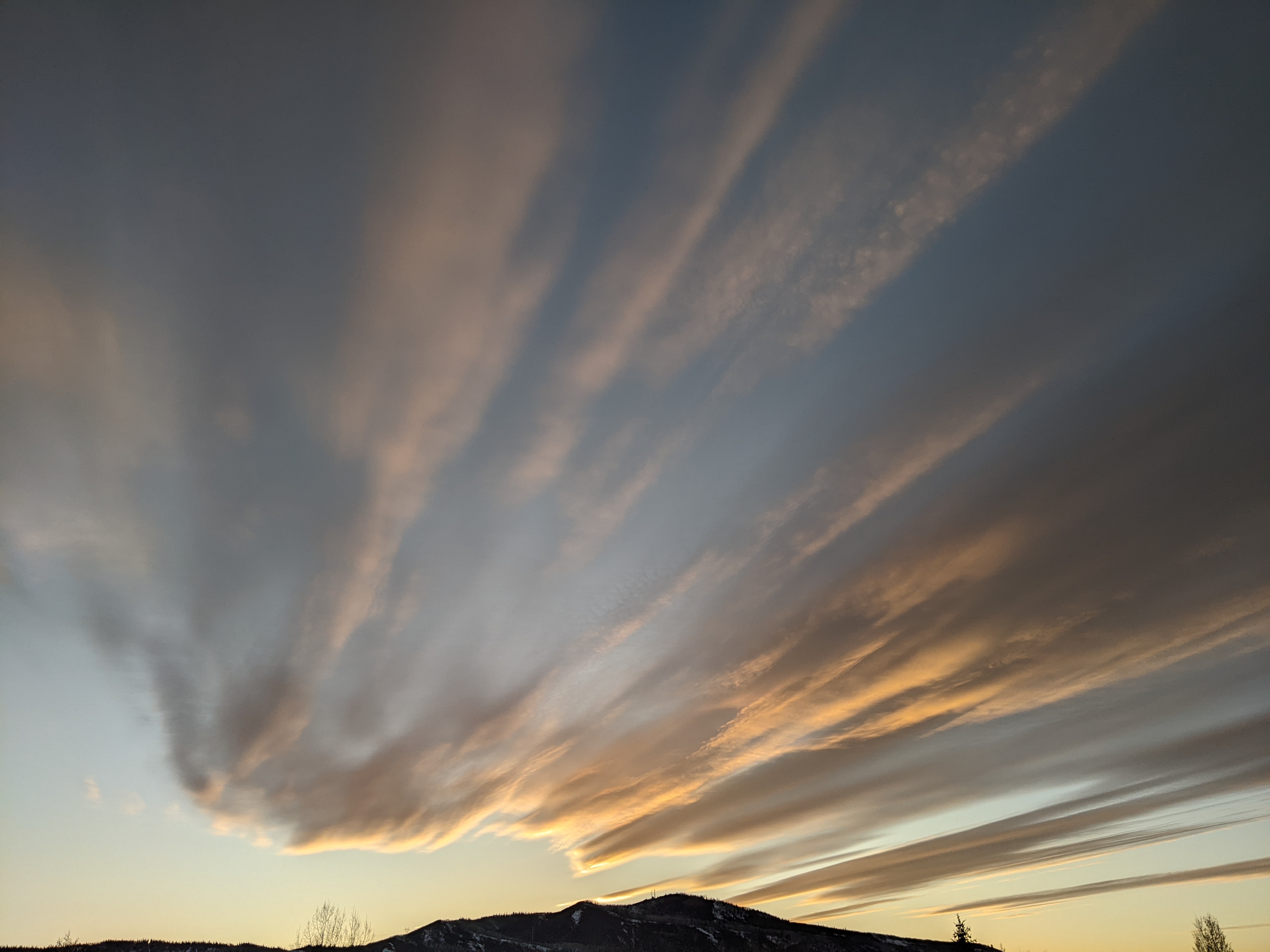
Seasonable work week ahead of possibly unsettled weekend
Sunday, May 13, 2018
A storm in the Great Basin has brought 4” of snow to the Snowbird resort in Utah and cool and cloudy weather to the Steamboat Springs area today. Behind the weak wave that ejected out of the storm and brought the morning clouds, we should see periods of sun later this afternoon.
The Great Basin storm undergoes an odd split, with some of the storm moving eastward near our area on Monday while the rest of the storm slowly moves northwestward. We’ll have a better chance of showers tomorrow, especially in the afternoon and evening.
Though Tuesday will be dry behind the departing piece of the storm, seasonably cool temperatures will be left behind.
Another Pacific storm crosses the West Coast on Wednesday and absorbs the remnants of the Great Basin storm. The southwesterly flow ahead of this new storm complex will bring dry air and warmer than average temperatures from the Desert Southwest over Colorado starting Wednesday and lasting through the rest of the work week.
The Pacific storm complex will move across the Great Basin and bring the possibility of cool and unsettled weather our area by next weekend. The European ECMWF, which incidentally verified better for the current storm, is not as cool and moist as the American GFS and advertises a shorter duration of the unsettled weather. So if that weather prediction model is right, we may see some warming and drying by the end of the weekend before both models agree with that forecast by early in the next work week.
Add comment
Fill out the form below to add your own comments


