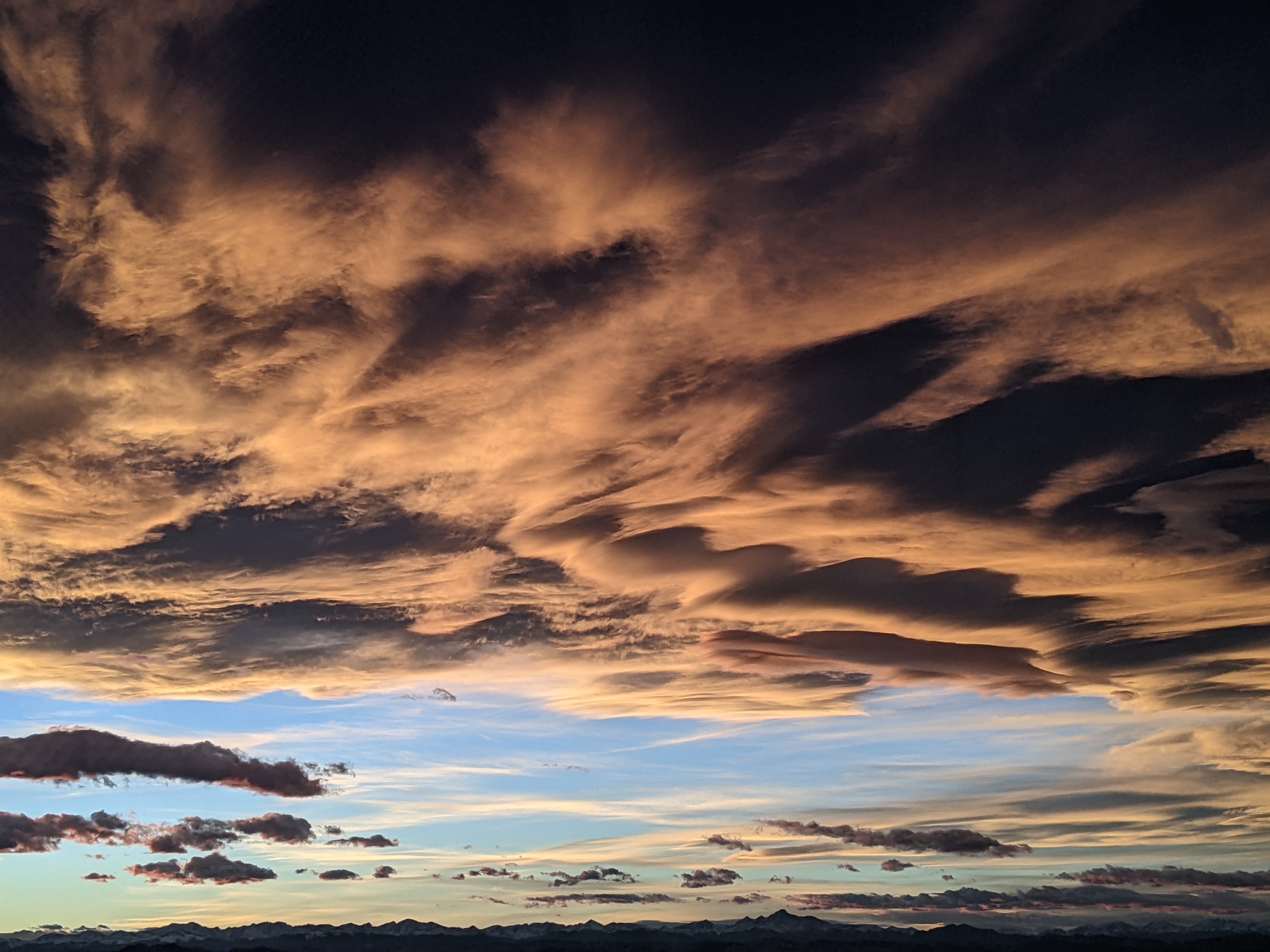
Storms for Tuesday and Friday
Sunday, April 15, 2018
Another unseasonably cold and quick-moving storm is forecast for northern Colorado on Tuesday, while a slower and wetter storm will likely impact most of Colorado for Friday. Currently for Closing Day at the Steamboat Ski area, the weather will feature partly cloudy skies and seasonable temperatures with a small chance of an afternoon shower.
Temperatures will warm to above average on Monday with plenty of sun and breezy southwest winds as a sharp ridge of high pressure builds over the Rockies. The ridge builds in advance of a strong and cold storm that will bring significant precipitation to the West Coast on Monday. The storm weakens as it crosses the Great Basin, and though moisture is sparse by the time it arrives over Steamboat Springs on Tuesday, there is plenty of very cold air.
Current forecasts bring the strong cold front associated with the storm through our area around noon on Tuesday, along with snow down to the Yampa Valley floor. The strong front with sparse moisture makes for a tricky forecast, but I expect 3-6” of snow at mid-mountain, which would have been reported on the Wednesday morning report if the mountain was still open.
After a very chilly start to Wednesday morning, especially if skies clear late overnight, dry weather with warming temperatures should be noted for Wednesday and especially Thursday.
Meanwhile, another Pacific storm crosses the West Coast around midweek. Weather forecast models have this storm taking a more southern route through the west than the previous two storms, eventually becoming an area of low pressure cut off from the main jet stream. These cutoff lows are a feature of fall and spring weather, and are notoriously difficult to forecast as there is not a lot of forcing from the somewhat more predictable jet stream.
Furthermore, the broad counter-clockwise circulation around this storm, which is forecast to travel along the Colorado and New Mexico border, will transport the warm and humid air from the Gulf of Mexico first northward and then westward, bringing significant moisture to parts of the Front Range and the mountains to the west.
Timing and position are still uncertain, though that should become clearer by my Thursday forecast, but a significant storm for at least the northern Front Range for Friday is likely. If the storm develops as advertised, the Steamboat Springs area could also get in on the action as the Gulf of Mexico moisture travels over the Continental Divide and brings the possibility of moderate to heavy snow to northwest and north central Colorado.
Behind the storm, precipitation tapers off around Saturday after which we will see some warming and drying to finish the weekend.
Save your soles! As the snow disappears in the spring, you know the grating and grinding sounds you hear from your ski boots as you walk across hard surfaces can’t be good. In fact, worn boot soles make your binding unsafe as it interferes with the boot-binding interface. Cat Tracks are a flexible protector that keeps your boot soles pristine, and adds a cushion for walking comfort. When it’s time to click into bindings, I take them off and stash them in my coat pocket. Yaktrax
are similar, but I have not used them since they appear they would take up a bit more space in my jacket pocket. But you get a rocker sole that promotes a natural stride which may be worth the space sacrifice. If I did not have to carry them around all day, these would be my choice.


