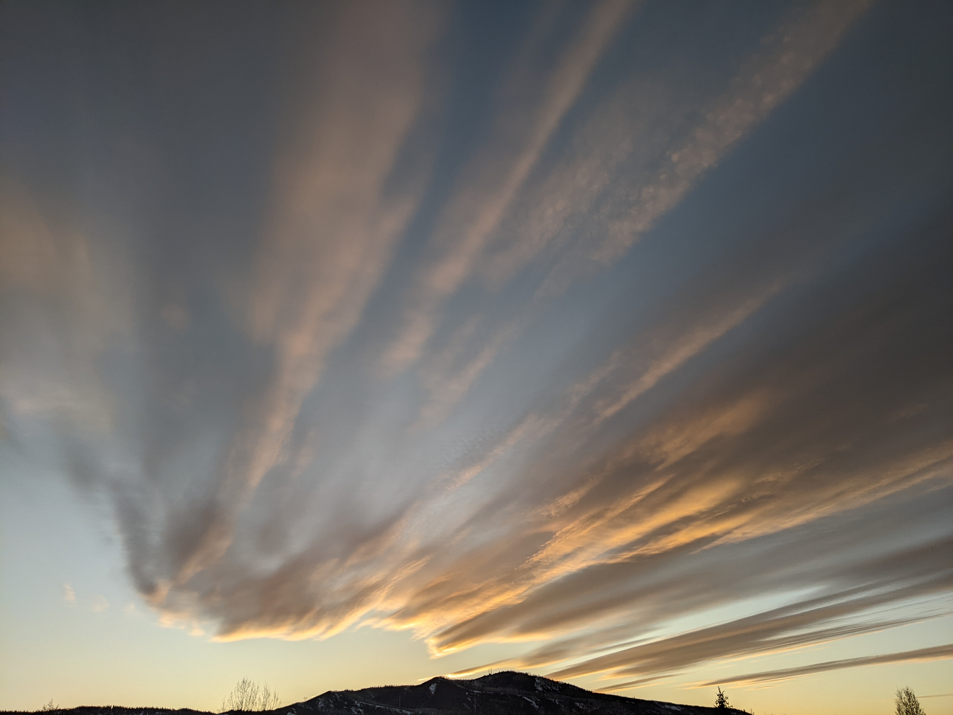
Storm Friday followed by a springtime Pineapple Express this weekend
Thursday, April 5, 2018
A couple of tough-to-forecast storms will affect the weather in Steamboat Springs through the weekend. For today, partly sunny skies will yield to thicker clouds in advance of the first storm moving across our area in favorable northwest flow. Snow showers should start around midnight above mid-mountain, though the relatively warm starting temperatures could bring rain at the base.
Cooler air moves in through Friday morning, and this will likely bring snow showers to the base and difficult travel conditions. The warm temperatures mean snow density will be higher and snow amounts lower than during the winter. I would guess 2-4” by the Friday morning report and another 2-4” before noon, with some of that contributing to Steamboat Magic where accumulations occur between report time and ski time.
The atmosphere will destabilize in the afternoon due to warming surface temperatures, and this will increase the chance of showers and possibly bring a rumble of thunder Friday afternoon and evening, where another 2-4” of localized snow could fall under the stronger showers.
Any breaks in precipitation will be short-lived as moisture increases and temperatures warm ahead of the second storm. This one has formed in the subtropics around Hawaii and will bring an anomalously wet and warm air mass through the Great Basin. This event in the past was euphemistically referred to as a Pineapple Express due to the long and relatively narrow fetch of moisture streaming into the storm from the Hawaii area, but now is more generally referred to as an Atmospheric River by meteorologists (and now, perhaps the media). Interestingly, the Grand Junction forecast office mentioned that this Atmospheric River is estimated be holding as much water as 25 Mississippi Rivers!
So the Steamboat Springs area will see snow showers changing to rain showers Saturday morning, first at the base and then extending to perhaps the top of Mt. Werner by the afternoon and evening as the rain becomes moderate to heavy at times.
Cooler air follows sometime between midnight on Saturday and Sunday morning, first changing the rain to snow at the higher elevations before we see snow at the base by around report time. The amount of snow for the Sunday morning report will depend on when the cool front arrives, but right now I would guess 3-6” of very dense snow at mid-mountain.
Because the storm stretches as it crosses the Great Basin, we will see the snow showers decrease in intensity during the day Sunday before they pick up again Sunday night as the remainder of the storm approaches our area. I’ll guess at 1-4” of snow during the day Sunday and another 3-6” of fluffier snow overnight for the Monday morning report.
Snow showers will likely hold on as they taper off during the day Monday, with another inch or two possible.
Even though we have a lot of weather to get through before next week, dry air is forecast to overspread much of the west by Tuesday, bringing warm springtime temperatures and sunshine. A storm that was forecast to possibly affect our area around midweek looks to have gone away in the weather forecast models, so Wednesday may now end up being like Tuesday.
However, the sun will not hang around for long as another potent storm, this one having some colder air, crosses the West Coast around midweek. Showers are advertised for Thursday afternoon in breezy southwest flow ahead of more significant snows currently forecast for around Friday.
Want to instantly improve your skiing? Then you’ll want progressive flex in your ski boot, and the Booster Power Strap delivers by elastically fastening together the lower leg and the ski boot. You get direct ski control so skis start turning sooner and end the turn faster.


