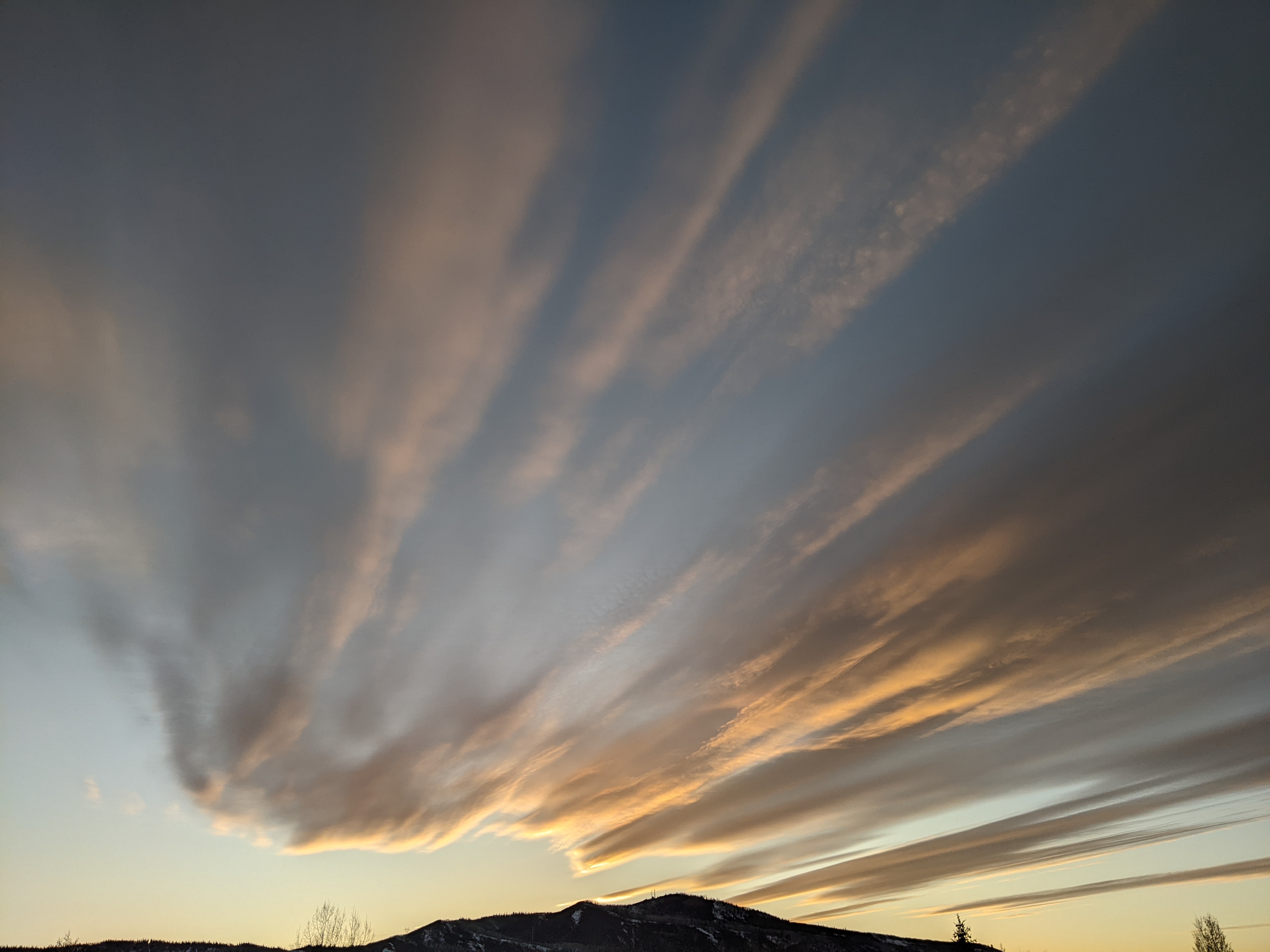
Snowy work week on tap
Sunday, February 11, 2018
The dominant North American weather pattern of cold in the east and warm in the west looks to be finally changing as the persistent vortex of very cold air over Hudson Bay changes its orientation from north-south to more east-west. This allows the cold air to move westward across western Canada, pushing the ever-present-this-winter-season West Coast ridge westward and providing a proximate source of cold air that will mix to varying degrees with incoming Pacific storms.
The current cool temperatures and sunny skies this Sunday will give way to warming temperatures this afternoon and clouds later tonight as a Pacific storm enters the Great Basin and winds turn to the southwest. This storm will weaken before being ejected across Utah and Colorado on Monday by a second trailing storm, creating a stationary front that will extend from southwestern Utah through north-central Colorado for most of Monday.
The southwesterly flow is usually not conducive for snow in the Steamboat Springs area, in part due to the shadowing effects of the Flat Tops to our south, but atmospheric forcing and instability can overcome this negative if it is strong enough. In this case, the ejecting storm will travel along the stationary front, beginning snow showers Monday morning that should intensify during the day and continue to some degree through the night. Relatively warm winter temperatures will limit the fluffiness and depth of the accumulations, but we could see 3-7” of snow by Tuesday morning.
Meanwhile, the second trailing storm shears apart, with the southern part headed toward southwestern California and the weak northern part keeping weakening snow showers over our area for Tuesday and Wednesday.
More good news arrives midweek as another Pacific storm travels across the Gulf of Alaska and digs southward along the West Coast and ejects the storm over southern California northeastward. At this point, it looks like this storm will draw in some substantial cold air from western Canada which will keep most of the storm moving through the Great Basin.
Like the last storm, and the storm for Monday, there are a lot of moving pieces, but it is possible we may see significant snows on Thursday as we first see the relatively warm snows associated with the southwest flow of the ejecting storm and then the colder snows associated with the eventual northwest flows from the Gulf of Alaska storm. 6-12” of snow are possible by Friday morning if the current forecasts hold.
A break in the weather is currently advertised heading into the President’s Day weekend as another significant and colder storm forms to our northwest and possibly starts snow showers again as soon as Sunday afternoon.
Cold fingers? My new favorite cold-weather glove are all about warmth. And when combined with the standard HotHands handwamers which I use below about 5F, I’m good for the day. Three fingers sit together with the index finger separated, but there is enough room to scrunch all your fingers together while on the lift, which is especially nice if you have a handwarmer in the mitten-part of the glove.


