Strengthening storm for the weekend
Thursday, January 18, 2018
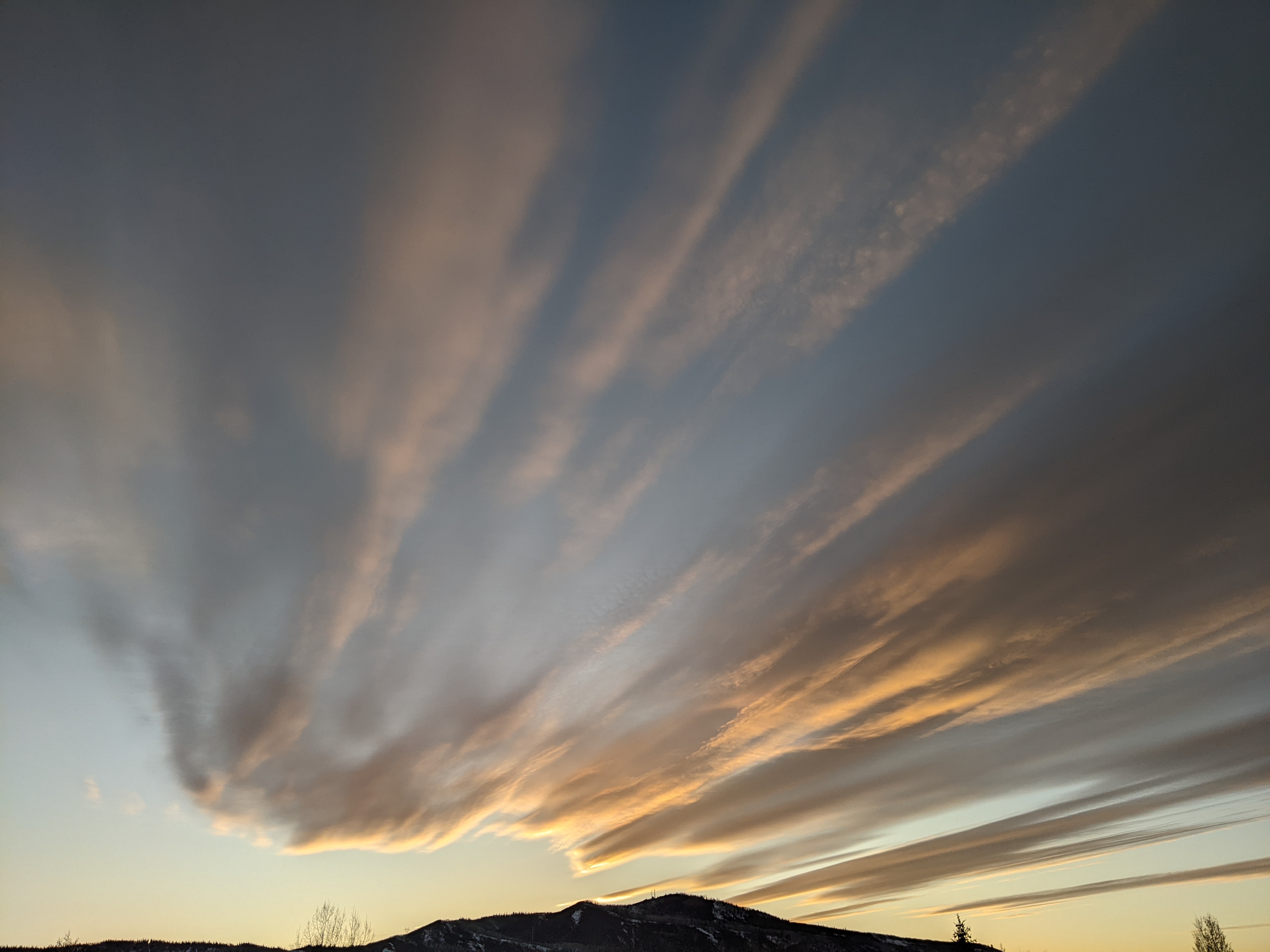
A storm currently off the Pacific Northwest coast will elongate southwards on Friday before moving across the Great Basin on Saturday and Colorado on Sunday. Temperatures at the Steamboat Ski Area will remain above normal for today and Friday, with some high clouds filtering the sun and west to southwest winds becoming breezy by Friday afternoon.
Snow showers may start as early as Saturday morning, though weather models have trended slower and stronger with the storm, so accumulations may hold off until the afternoon. It will be a close call for Steamboat Springs, but it looks to be cold enough for snow at the lower elevations even at the start of the storm. If not, any liquid will quickly turn to snow as cool air moves over northern Colorado by later Saturday.
There may be several inches of snow on the hill by the time lifts stop turning Saturday afternoon, but the best accumulations will be from Saturday afternoon through midday Sunday as temperatures crash to seasonably cold levels overnight Saturday.
This will be a tricky storm for our area as northern Colorado will not see sustained northwest flow behind the storm until it is mostly over. However, the strengthening storm may create some enhanced snows over our area on Sunday as warm and moist air from the plains to our east is lifted over the Rocky Mountains. I would expect 4-8” of snow by the Sunday morning report, with up to another 3-6” during the day if the enhanced snowfall materializes.
Snow showers will taper off from Sunday afternoon through early Monday and may end for a time during the day Monday before picking up again by later Monday as some moist energy in northwest flow brushes by northern Colorado and leaves several inches for the Tuesday morning report.
Weather models advertise warming and drying for midweek, with another possibly strong storm on tap for the end of the work week.


