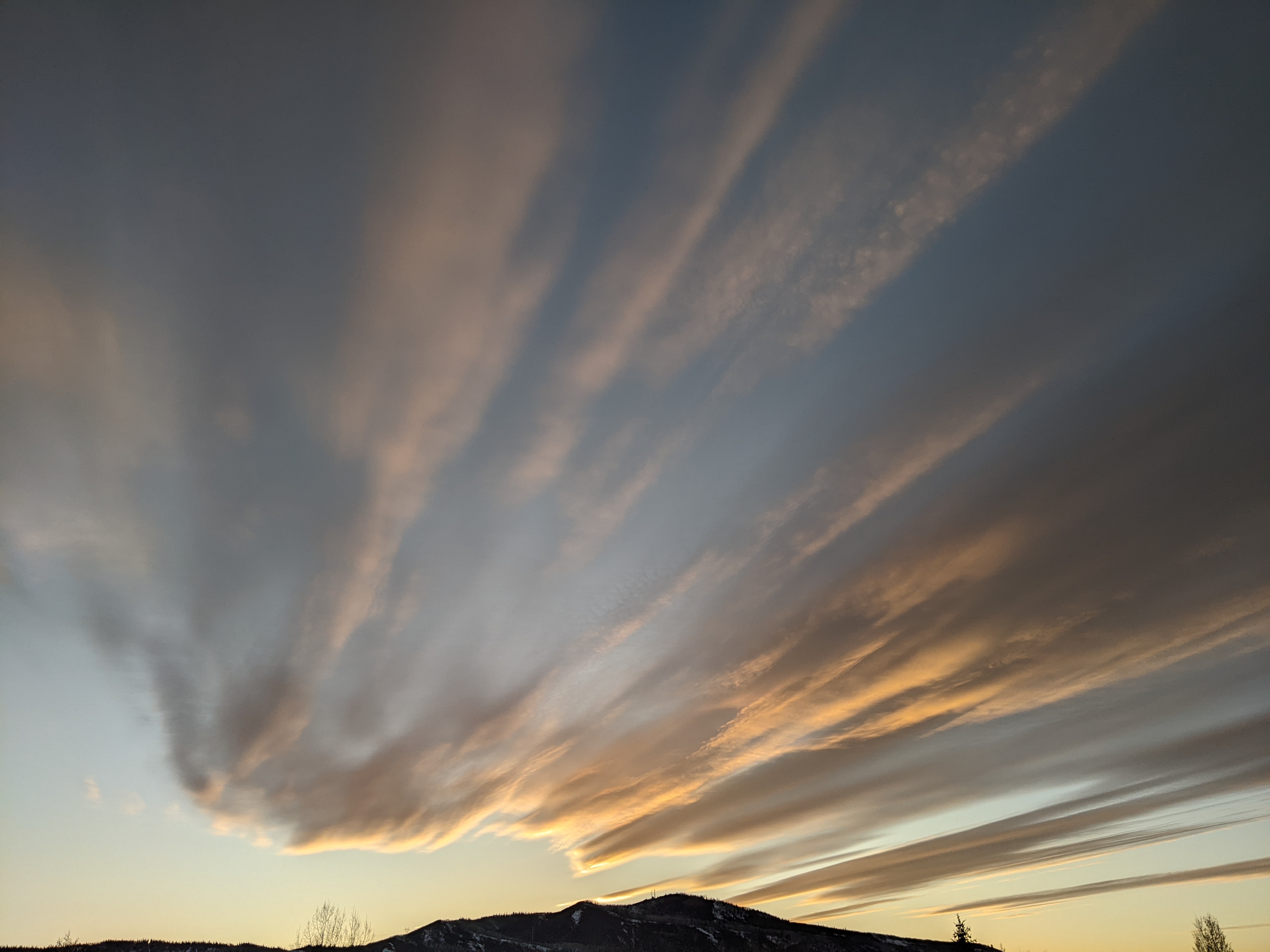
Friday storm followed by drying for the weekend and early next week
Thursday, January 11, 2018
A currently building ridge of high pressure over the West Coast will dominate the Steamboat Springs weather for most of the next week ahead of a potentially large and significant winter storm around the following weekend. 10” of snow was reported by the Steamboat Ski Area this morning, with all but an inch of that falling during the day Wednesday.
A storm currently approaching the Pacific Northwest coast will travel over the West Coast ridge and mix with some cool air rotating around a deep vortex of very cold air over Hudson Bay, and bring snows back to our area starting tonight in moist northwest flow.
This storm will be an orographic event by the time it reaches Steamboat Springs, which means that precipitation will form as the air is lifted and subsequently cooled as it impinges on the Park Mountain Range. Temperatures at mountain-top level are expected to be in the range where light and fluffy snow is efficiently produced, and I would expect 1-4” of snow for the Friday morning report, followed by 3-6” during the first half of the day. Snowfall will taper off in the afternoon, though light snow showers may persist into Saturday morning, adding another inch or two for a 4-8” Saturday morning report.
More cool air rotating around the Hudson Bay vortex will keep some clouds and seasonable temperatures over our area through the weekend and Monday before incoming Pacific energy pushes a now-weakening West Coast ridge over our area around midweek. There is disagreement as to how much Pacific energy travels over the ridge versus through the ridge, with the European ECMWF insistent that a quick-moving compact storm affect our area around or just after after midweek, while the American GFS is drier and further north with that energy.
In any event, this is all pushed to our east as a strong and likely significant storm from the Pacific moves through the Great Basin and over our area by around next weekend.
Keep your toes warm during the winter storm forecast for next weekend by ordering today! I’ve used the awesome Hotronic foot warmers from their beginnings, and can honestly say that each iteration of the product is better than the last. I have the S4 custom, attached to my powerstrap so they never fall off, and my toes stay warm for my entire ski day.
Add comment
Fill out the form below to add your own comments


