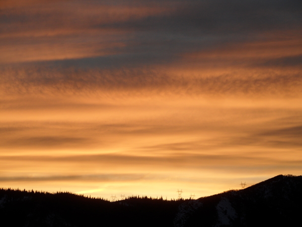
Gorgeous weekend on tap
Thursday, December 7, 2017
The current wintry conditions in Steamboat Springs will last through today before the sun returns for most of the next week. Several more inches of snow are possible through about midnight tonight as more cold air slides southward along the eastern periphery of a large and dominant ridge of high pressure centered over the West Coast.
With the new snow cover, temperature inversions, where temperatures increase with elevation, have formed in the Yampa Valley and will continue for the next several days as clear nighttime skies will allow the surface to efficiently cool. Additionally, the West Coast ridge is forecast to expand eastward, bringing warmer air to the higher elevations. The combination of a low sun angle, cold surface temperatures and warm mountain temperatures makes the atmosphere very stable and inhibits any vertical mixing that may bring the warmer air aloft down to the surface.
The end result will be the Yampa Valley will be slower to warm than the mountains under the sunny skies that are forecast for Friday and the weekend.
I spend a lot of time skiing and mountain biking, depending on the season, and these are some of the products that have worked very well for me. Consider purchasing them through these links as I will earn a small commission that will help me keep SnowAlarm running. And feel free to contact me if you would like to see your product endorsed.
I’ve found these work best in powder, as it keeps the cold snow from touching the boot plastic and sucking heat away from the interior. However, they do cover the lowest two boot buckles, so this accessory is not for those who like to (or need to!) fiddle with the buckles during the day.
- Helps retain up to +20 degrees inside the boot
- Includes thermal reflective adhesive strips for additional insulation from inside the boot
- Adjustable Velcro heel strap for ease of use and adjustment
- Side abrasion resistant patches for durability and wear
- Wind and water resistant neoprene material
I’ve used these from their beginnings, and can honestly say that each iteration of the product is better than the last. I have the S4 custom, attached to my powerstrap so they never fall off, and my toes stay warm for my entire ski day.
Hotronic’s Foot Warmers S Series are the culmination of years of experience in research, design, and testing. With thin profile, high capacity, cold-temperature-operation Battery Packs, the S Series are Hotronic’s most powerful yet compact Foot Warmer designs to date. Maintain comfort and warmth in your feet when it matters most, in the cold!
There are three waves of energy traveling over the top of the ridge that may help to drag some cooler air into northern Colorado on Monday, Wednesday and later Thursday as the West Coast ridge periodically retreats to our west. The Monday wave will bring a slight cool down under mostly sunny skies, while the Wednesday wave may only bring some clouds.
The strongest and moistest of the waves is currently timed for later Thursday and is advertised to bring some light snow to our area. It should be noted that the boundary between the warm and dry air to our west and the cold and moist air to our east will be very sensitive to the track of these waves, so the forecast can easily move to either the warmer and drier side or the cooler and moister side, especially after the dry Monday wave. In fact, the European ECMWF has the late Thursday wave much further west than the American GFS, so the forecast is quite uncertain for the end of the work week.
This of course leads to further forecast uncertainty for the following weekend. While the West Coast ridge is forecast to rebuild for a time, there are indications of a pattern change after that as incoming Pacific energy starts to break down the dominant West Coast ridge. This may allow for a more active weather regime starting around that weekend or the following work week.
Add comment
Fill out the form below to add your own comments


