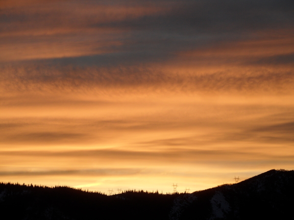
Cool mornings and warm dry days follow a small storm on Tuesday
Sunday, November 19, 2017
Other than some light accumulations on the mountain on Tuesday, the next week looks dry in Steamboat Springs. Monday will be similar to today as a very dry airmass sits over the western states. We’ve seen our first strong temperature inversion of the season this morning (where air temperatures increase with increasing height) with a low of 4F in the valley and 18F on the top of Mt. Werner at that time.
A storm currently off the Pacific Northwest coast will split as it makes landfall tonight, with moisture ahead of the southern split of the storm bringing first high clouds to our area later Monday and then showers by Monday night. Precipitation will start as rain in the Yampa Valley before some cool air grazes northern Colorado early Tuesday, changing the rain showers over to snow showers for a time. I would expect 1-4” of snow at the higher elevations by Wednesday morning for the Steamboat Ski Area’s scheduled Opening Day, with no accumulations in the valley.
I spend a lot of time skiing and mountain biking, depending on the season, and these are some of the products that have worked very well for me. Consider purchasing them through these links as I will earn a small commission that will help me keep SnowAlarm running. And feel free to contact me if you would like to see your product endorsed.
I’ve found these work best in powder, as it keeps the cold snow from touching the boot plastic and sucking heat away from the interior. However, they do cover the lowest two boot buckles, so this accessory is not for those who like to (or need to!) fiddle with the buckles during the day.
- Helps retain up to +20 degrees inside the boot
- Includes thermal reflective adhesive strips for additional insulation from inside the boot
- Adjustable Velcro heel strap for ease of use and adjustment
- Side abrasion resistant patches for durability and wear
- Wind and water resistant neoprene material
I’ve used these from their beginnings, and can honestly say that each iteration of the product is better than the last. I have the S4 custom, attached to my powerstrap so they never fall off, and my toes stay warm for my entire ski day.
Hotronic’s Foot Warmers S Series are the culmination of years of experience in research, design, and testing. With thin profile, high capacity, cold-temperature-operation Battery Packs, the S Series are Hotronic’s most powerful yet compact Foot Warmer designs to date. Maintain comfort and warmth in your feet when it matters most, in the cold!
Even though a ridge of high pressure builds over the western states behind the grazing storm, moisture will travel over the ridge leading to a mostly cloudy Wednesday, with the possibility of a stray shower later in the day. The overnight clouds on Tuesday and Wednesday nights will lead to warmer minimum temperatures on Wednesday and Thursday mornings as the clouds act like an insulating earth-blanket.
Thanksgiving Day looks warm and mostly sunny by the afternoon as drier air moves over our area.
The possible storm for Friday has trended weaker and further north, and it now looks like our area will miss even showers, though some cool air does get dragged over the area around Friday night.
The western ridge is advertised to rebuild for the weekend, bringing plenty of sun and warm afternoon days. And that looks to persist for a couple of days into the next work week before the weather may turn unsettled around midweek.


