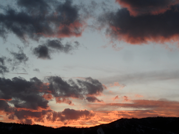
Precipitation likely later Thursday with cold front
Sunday, November 12, 2017
A large storm currently in the Gulf of Alaska will eject some energy that will weakly affect the Steamboat Springs area on Tuesday. The parent storm will move over our area later Thursday or early Friday with warm showers ahead of the front turning to snow behind the front.
The current warm and dry weather will continue through Monday, though clouds may increase ahead of a weak cool front ejected from the Gulf of Alaska storm that will gaze northern Colorado on Tuesday. There may be some high elevation snow showers Tuesday afternoon or evening along with a decrease in temperatures, but the system looks similar to the mostly dry one that just passed this last Saturday.
I spend a lot of time skiing and mountain biking, depending on the season, and these are some of the products that have worked very well for me. Consider purchasing them through these links as I will earn a small commission that will help me keep SnowAlarm running. And feel free to contact me if you would like to see your product endorsed.
These gloves are all about warmth. And when combined with the standard HotHands handwamers which I use below about 5F, I’m good for the day.
A split-finger design gives the Black Diamond Guide Finger gloves extra warmth while maintaining the dexterity that mountain professionals need for bell-to-bell days. The GORE-TEX® inserts ensures total moisture protection while the large gauntlets keeps powder from sneaking its way in through the back door. In addition to a 300 g Polartec® fleece palm lining, the Guide Finger gloves also features removable liners with PrimaLoft® Gold Insulation and boiled wool.
- 100% waterproof and breathable GORE-TEX insert with Plus Warm Technology stays with removable liner
- Abrasion-resistant, woven nylon shell with 4-way stretch
- Removable liner features 170 g PrimaLoft Gold and boiled wool 300 g Polartec fleece palm lining
- Goat-leather palm and palm patch
- Foam padding on knuckles for impact protection
You may not know it, but you want progressive flex in your ski boots. This allows the tongue of the boot to maintain contact with your shin through all phases of the turn. Comfort and control with no sore shins!
The Booster Strap is made of high strength elastomeric webbing with an anti-slip micro-adjustable cam buckle. The elastomer allows flexibility, vibration and shock damping. The cam buckle assures a better fit and more comfort.
The Booster Strap elastically fastens together the leg and the ski boot and provides direct ski control so the skis will start turning sooner and will end the turn faster. The graded elasticity of the product allows skiers to choose the reaction speeds that best suit their technical and physical characteristics and skiing ability.
I’ve used these from their beginnings, and can honestly say that each iteration of the product is better than the last. I have the S4 custom, attached to my powerstrap so they are never fall off, and my toes stay warm for my entire ski day.
Hotronic’s Foot Warmers S Series are the culmination of years of experience in research, design, and testing. With thin profile, high capacity, cold-temperature-operation Battery Packs, the S Series are Hotronic’s most powerful yet compact Foot Warmer designs to date. Maintain comfort and warmth in your feet when it matters most, in the cold!
Temperatures will warm again on Wednesday as high pressure briefly builds ahead of the now eastward-moving Gulf of Alaska storm. Clouds and winds from the southwest will increase on Thursday as the storm tracks across the Great Basin, with low elevation rain and high elevation snow starting during the day Thursday.
The cold front will pass around Thursday night or Friday morning, with continued breezy southwest winds veering to the northwest and bringing a burst of snow that will be locally heavy for a time. Much colder temperatures are expected for Friday as snow showers taper off during the day or evening. There is some uncertainty with respect to the timing of the cold front, as the European ECMWF is about 12 hours behind the American GFS. Six to twelve inches of snow at the higher elevations is possible, along with a few inches at the lower elevations during the cold part of the storm.
If skies clear Friday night behind the storm, Saturday will start quite cold, but with plenty of sun during the day to help warm temperatures. As was the case this past weekend, the best warming will wait until the following day on Sunday as the cold airmass takes longer to warm with shorter days and lower sun angles.
Another storm drops into the Gulf of Alaska late next weekend, and this storm is currently forecast to split as it approaches the West Coast early in the next work week. There is uncertainty regarding to how much energy stays with the eastward propagating part of the storm and how much is left behind off the coast of California, but currently it looks like some sort of storm will travel through the Steamboat Springs area just before Opening Day, which is scheduled for Wednesday, November 22.


