Several mostly dry cool fronts for the next week
Thursday, October 26, 2017
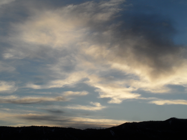
A weak storm currently in Wyoming will travel through the Steamboat Springs area today, with temperatures staying cool and some snowflakes possible later this afternoon. The cool front associated with the storm is fairly dry, and Friday should be a mostly sunny but chilly day behind the storm.
A very weak wave in northwest flow will pass over our area on Saturday, and may bring some clouds and the slightest chance of precipitation as temperatures warm back toward seasonable levels.
There are lots of moving pieces for later Sunday and beyond, with the remnants of former typhoon Lan traveling over and through a ridge of high pressure off the West Coast. The disparate numerical model solutions from my last forecast have indeed come to a messy compromise, with some energy from the former typhoon being left behind underneath the ridge off the West Coast, but most traveling over the ridge and dropping into the Midwest early in the work week.
This will lead to a weak and mostly dry cool front grazing our area later Sunday after a day of seasonable temperatures, bringing some cooling temperatures that will be reinforced on Monday and Tuesday by additional grazing energy traveling southward from the higher latitudes into the Midwest.
Temperatures will briefly warm for some of Wednesday before additional Pacific energy splits as it interacts with the West Coast ridge and forces it westward toward the Bering Sea. Most of the energy will break off and carry a chunk of cold air westward into the Gulf of Alaska forming a persistent storm system that will stay mostly in place for the rest of the work week. Some of the energy, however, will continue traveling to the southeast and bring another grazing cool front into northern Colorado later Wednesday into Thursday.
Temperatures should rebound to seasonable levels for the end of the work week and the weekend as we experience a brief break in the parade of cool fronts. However, longer range models do indicate that additional Pacific energy traveling southward along the east side of the new Bering Sea ridge will eventually dislodge pieces of the Gulf of Alaska storm around mid-weekend. This may begin a stormy pattern for parts of the West, including our area, around the start of the new work week.
Add comment
Fill out the form below to add your own comments


