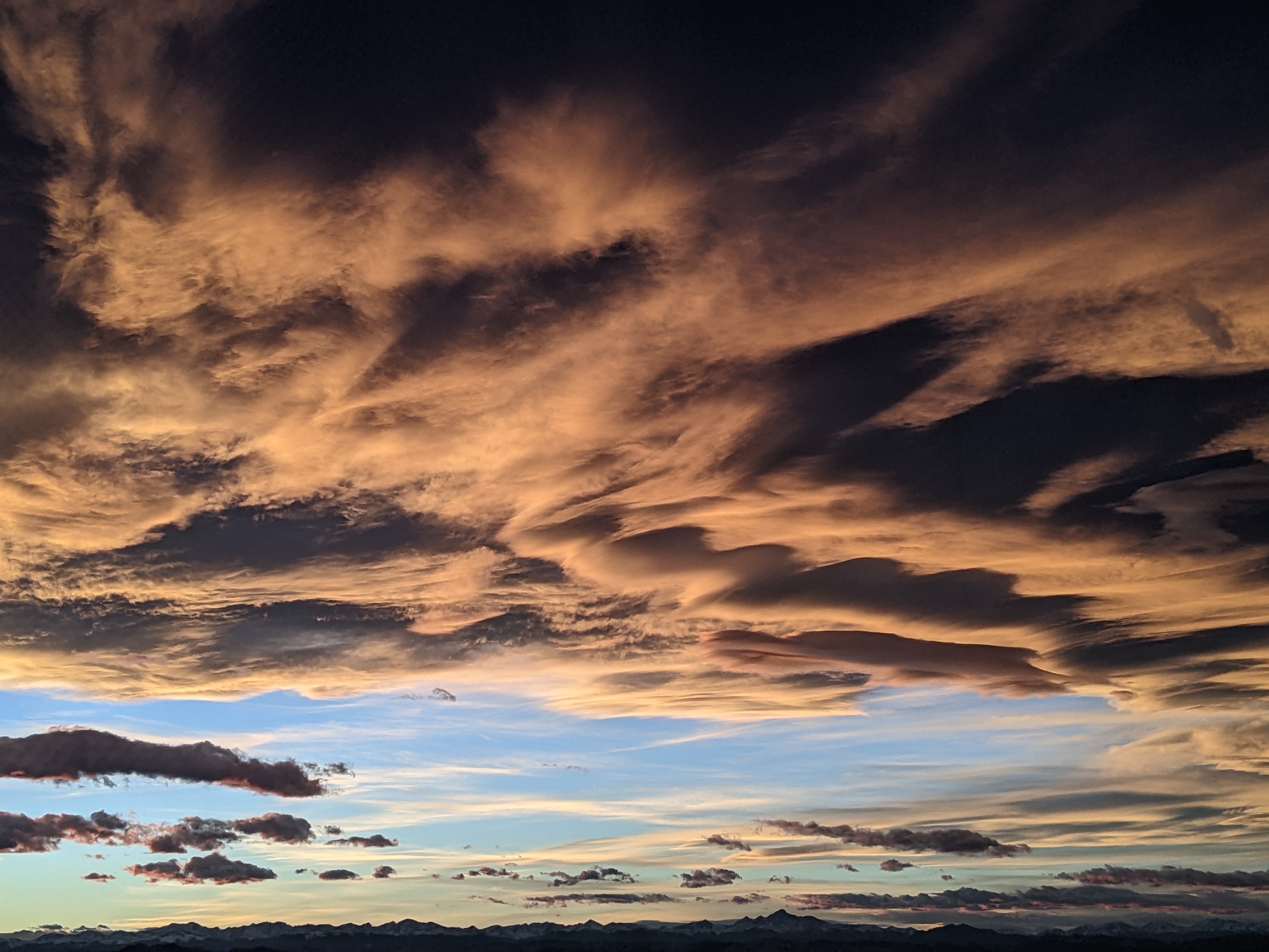
Seasonal changes on our doorstep
Thursday, September 14, 2017
The weather is generally cooperating with the last forecast as an unseasonably cold trough of low pressure over the Pacific Northwest escorts a storm system originally off the coast of California eastward across the Great Basin. Showers started around 1 pm in Steamboat Springs and will continue today, becoming moderate to heavy around mid-evening as the old California low moves across the northwestern corner of Colorado.
Precipitation should taper off after midnight before another weak round of showers forecast for early Friday morning moves through the our area. There should be some clearing from about mid-morning through early evening before the colder portion of the parent storm grazes northern Colorado Friday night. Precipitation will not be as heavy as forecast for tonight, but it will be significantly colder, with snowflakes likely on the upper reaches of Mt. Werner.
Showers may linger into a Saturday morning before the skies clear for the remainder of the day with seasonably cool temperatures. There may be some frost on Sunday morning, so it may be time to start covering the tomato plants.
Sunday and Monday should be spectacular fall-like days as drier air and average temperatures grace our area. Meanwhile, a larger and colder Gulf of Alaska storm crosses the Pacific Northwest coast late in the weekend. It looks like we will have an impressive cold front move through northern Colorado later Tuesday, though precise timing is uncertain, as the first of several waves rotate through our area. Though Wednesday looks relatively dry, additional waves rotating around the large storm look to keep cool and unsettled weather over our area for Thursday and heading into the next weekend.
Add comment
Fill out the form below to add your own comments


