Nice weekend ahead of cold front for Labor Day
Friday, September 1, 2017
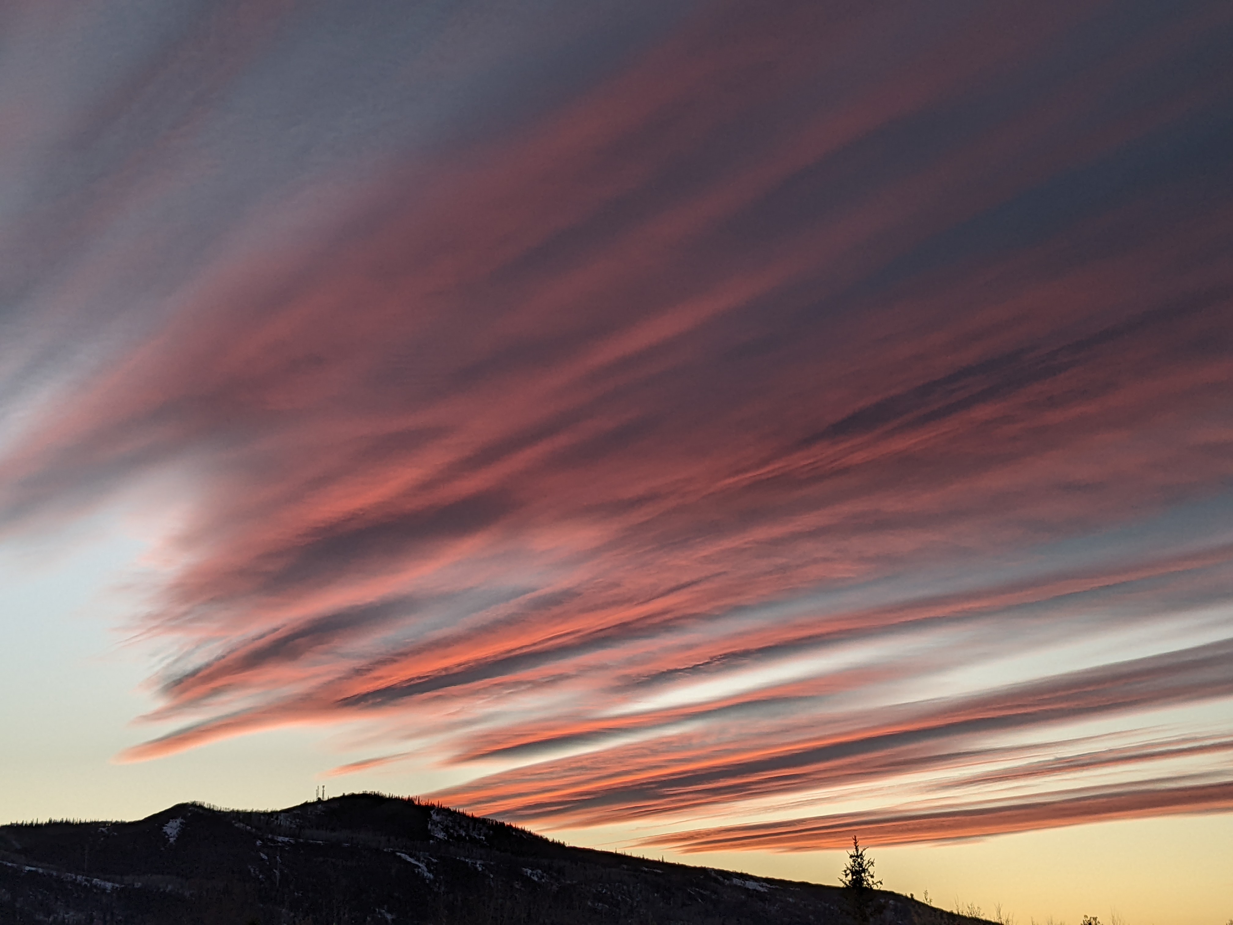
Some clouds are still hanging around Steamboat Springs in the the northwest flow behind last night’s cool front. But drier air will overspread the area later today and on Saturday and Sunday as the western ridge of high pressure rebuilds, leading to dry sunny weather with warm to hot days and cool nights. Some morning fog may be present Saturday, as it was today, as the low levels of the atmosphere are still moist from yesterday’s rainfall.
Over the weekend, a Pacific wave traveling over the top of the ridge will mix with some cold air over Hudson Bay, some of which may bring the season’s first frost to northern Vermont. The wave will eventually elongate into a trough of low pressure over the Midwest by midweek, and this brings a seasonable cold front through northern Colorado sometime on Labor Day. Cooler air should filter into the area by Monday afternoon, with some showers developing later Monday and possibly extending into early Tuesday.
The cooler airmass will lead to noticeably cooler minimum temperatures for Tuesday and especially Wednesday, though the western ridge rebuilds behind the departing trough and brings drier air and warming daytime temperatures for the rest of the work week.
Additional Pacific energy approaches the West Coast by the end of the week, though there is uncertainty with regards to the timing. The American GFS has energy and moisture pushing into the ridge by mid-next weekend, leading to the return of showers, while the European ECMWF is slower.
Meanwhile, and of no direct consequence to our weather, the Atlantic storm Irma has reached hurricane status and looks to develop into a powerful storm that may threaten the Eastern Seaboard soon after next weekend, especially if it eventually phases with the eastward propagating Midwest trough.


