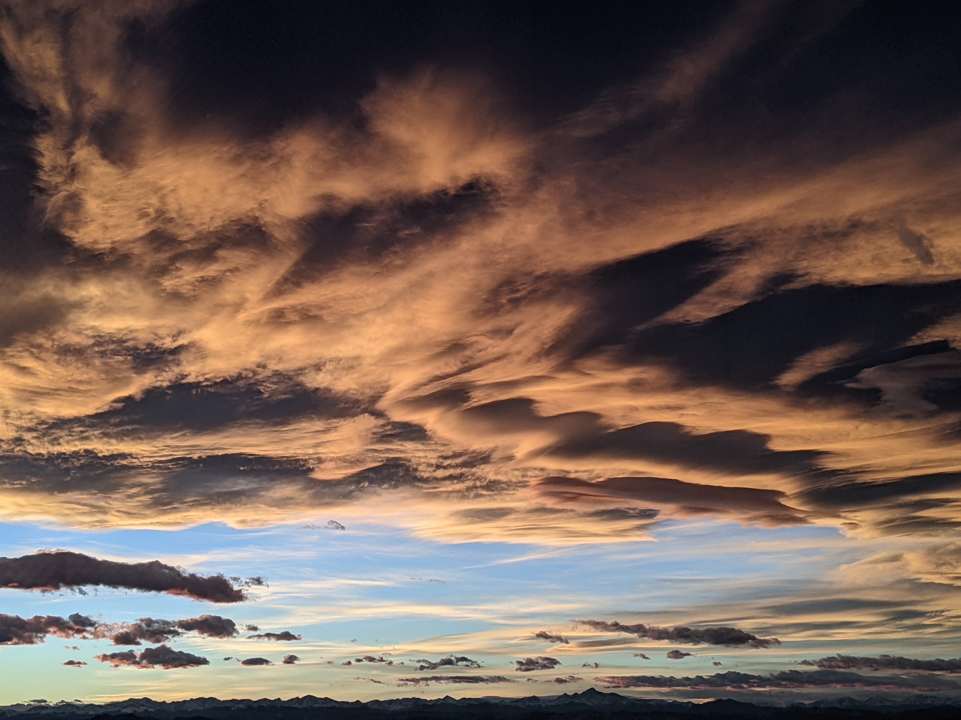
Monsoon returns Tuesday with drying heading into the weekend
Monday, July 24, 2017
The U.S. Southwest Monsoon will be re-invigorated tomorrow, a day faster than advertised in the last forecast. Currently, a storm off the West Coast has split, with the northern part of the wave forecast to move along the northern U.S. border during the week while the southern part loiters over the northern California coast until midweek.
Meanwhile, a well defined wave of energy from the tropics is currently moving northward in southern Arizona, and will conspire with some energy ejecting out of the northern California storm to bring a good chance of rainfall, some locally heavy, for the entire state of Colorado on Tuesday.
While this complex will move east of the Steamboat Springs area by early Wednesday, additional energy ejecting out of the northern California storm will keep a good chance of rain for Wednesday as well, though the chances are less robust than Tuesday. But stronger and sparser storms are possible later Wednesday and Wednesday night courtesy of a very weak cool front grazing our area from the wave moving along the northern U.S. border.
Eventually by Thursday, the northern California storm will penetrate inland and move northwest of Colorado, displacing the ridge of high pressure over the Rocky Mountains eastward. This keeps a weak monsoonal moisture plume over Colorado in the southerly flow on the west side of the ridge, for a continued chance of rains on Thursday.
Drier air is advertised heading into and likely through next weekend, though there is some mid and upper-level moisture that will likely not lead to significant precipitation, but may moderate the hot summer temperatures by partially blocking the sun.
Add comment
Fill out the form below to add your own comments


