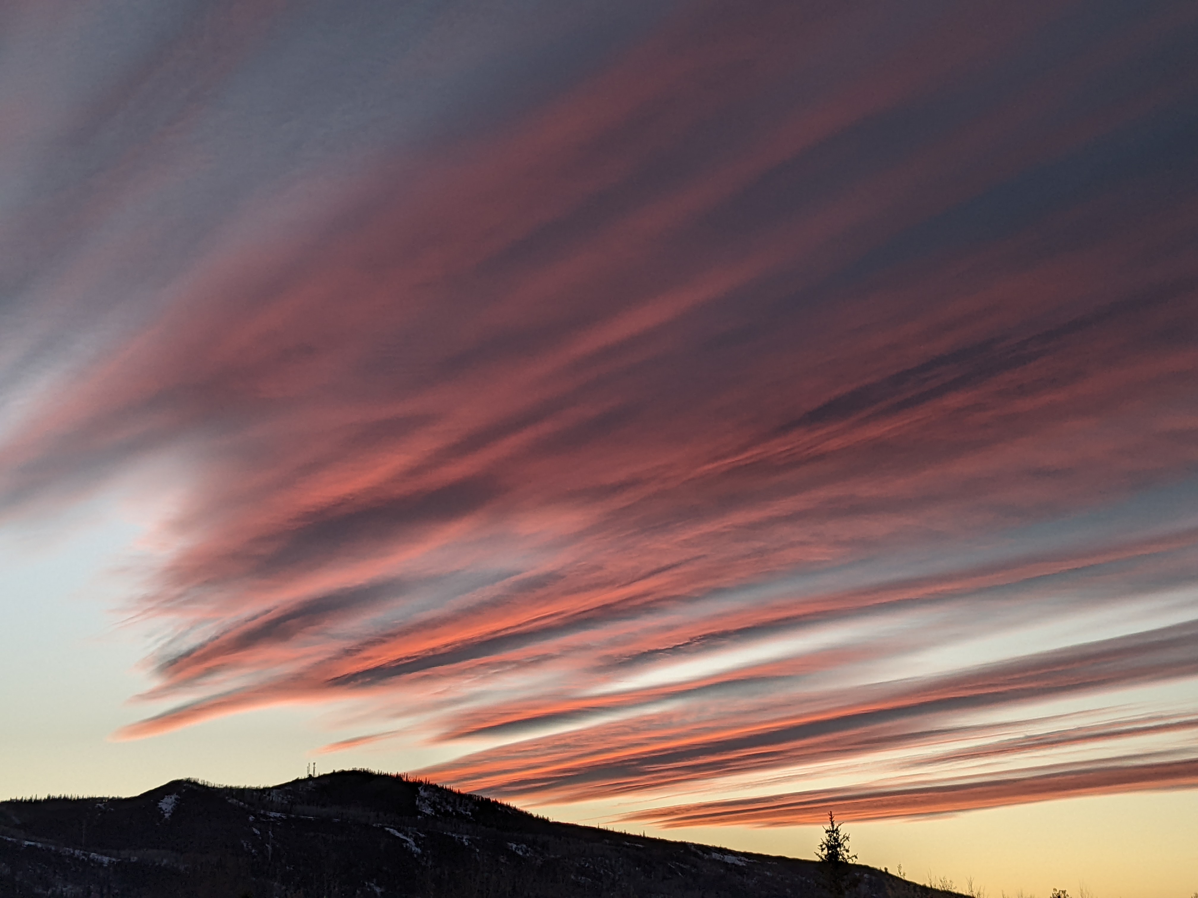
Approaching storm brings wet and cool midweek weather
Monday, May 8, 2017
A storm currently near northern Baja will move slowly across the Desert Southwest tomorrow, bringing wet and cool weather to the Steamboat Springs area starting later Tuesday. Model forecasts show Tuesday night and Wednesday being the wettest period of the week, followed by clearing weather for Thursday and a return to warmer temperatures and the chance of afternoon storms heading into the weekend.
The wet weather Tuesday night is due to a wave of energy ejecting out of the approaching southwest closed low. Additionally, the Pacific jet stream is moving across the Canadian - U.S border, and a wave in that flow will drag a cool front through northern Colorado around then. This will interact with the closed low that is forecast to move across the Colorado - New Mexico border during the day Wednesday and enhance precipitation for Tuesday night and Wednesday.
By later Wednesday, the storm is forecast to be east of Colorado, bringing significantly drier weather for Thursday, though there is model disagreement as to whether there will be enough instability for showers later in the day.
A sharp ridge of high pressure builds over the Rockies behind the departing storm and ahead of a strong Gulf of Alaska storm that is forecast to elongate along the West Coast during the weekend. This will lead to warm mostly sunny days through early next week with the chance of afternoon storms, strongest on Friday as lingering moisture fuels the storms.
It appears the West Coast storm will eventually affect our weather sometime next week, though model disagreement with respect to its movement and strength makes the details uncertain.
Add comment
Fill out the form below to add your own comments


