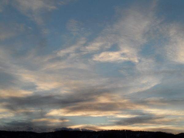
Storms for tomorrow and early next week
Thursday, March 30, 2017
A storm very similar to the last storm is currently centered over southern Nevada and will move east-southeast tomorrow and then along the Colorado - New Mexico border Saturday. Given the meager accumulations from the last storm and the fact that the models are showing a pronounced split in the forecast precipitation around the Steamboat Springs area, I am not optimistic we will see much more than clouds and light precipitation from the storm for most of tomorrow. There is a chance of some energy rotating around the storm later Friday and this will be our best chance of up to several inches of snow by Saturday morning at and above around 9000′.
Unsettled conditions will continue on Saturday as the storm spins to our south.
The once-promising storm for early next week has become less consolidated in recent model runs and is now forecast to bring several weak to modest waves through the Steamboat Springs area starting around Sunday afternoon. There will be a chance of snow showers as low as the valley bottom later Sunday and Sunday night as temperatures cool behind the weak cool front, and a better chance of snow later Monday and Monday night as the strongest part of the storm moves over our area.
There is still plenty of time for this early-week storm to evolve, and I won’t even venture a guess at snowfall amounts yet as there has already been a lot of variation even over the last few model runs. Snowfall guesses will have to wait until my next early-week forecast.
As much uncertainty as there is early in the week, models agree that after a seasonably cool Tuesday behind the departing storms, a strong ridge of high pressure builds over the western states bringing much above normal temperatures and dry weather through the rest of the work week.


