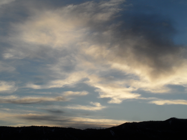
Stormy weather takes a break for about a week
Thursday, January 26, 2017
The last impulse of energy from this storm is currently moving southward from Wyoming and will keep light snow showers over Mt. Werner overnight and possibly into Friday morning, leaving under an inch or two of light fluffy snow for the morning report in continued cold temperatures.
Behind the storm, the sun returns as a ridge of high pressure builds and moves eastward from the West Coast, bringing warming temperatures to the mountain slopes by Saturday afternoon. The Steamboat Springs valley will be slower to warm, as strong surface cooling at night will form temperature inversions that will be reinforced by the warming aloft.
Sunday looks to be similar to Saturday, but warmer, before northern Pacific energy rides over the top of the ridge and flattens it on Monday, bringing some wind that will help mix the low-elevation airmass. This mixing will bring the warmer temperatures aloft downwards, warming the valley temperatures and weakening or breaking the temperature inversion.
Moisture associated with the Pacific energy may be close enough to bring clouds to the area later Tuesday with a stray shower possible overnight and into Wednesday, though the American GFS is more bullish on that idea than the European ECMWF.
The American GFS also brings some Pacific energy over the central California coast on Wednesday and advertises showers over our area on Thursday, though the European ECMWF is again less optimistic.
The long-range forecast has both models building a ridge over the Bering Sea by around the following weekend which was the active and favorable weather pattern that was present over our area starting in early December. A ridge in this position sets up a battle between airmasses as Pacific energy undercutting the ridge eventually interacts with cold air from the northern latitudes which is forced south along the east side of the ridge.
Add comment
Fill out the form below to add your own comments


